Click to visit the main New York Public Library Homepage
The New York Public Library
Digital Collections
About Digital Collections
Browse
Search only public domain materials
Items
Collections
Divisions
Home
Search
Browse
About
Search only public domain materials
Items
Collections
Divisions
Digital Collections
Using Images
Using Data
Search
Filtered search
Show filters
Hide filters
Show Only Public Domain
topic
Real property
4660
Fire insurance
3158
Cities & towns
3085
Administrative and political divisions
388
Railroads
341
More
Less
name
Sanborn Map Company
3085
Beers, F. W. (Frederick W.)
530
E. Robinson Co
238
Everts, Ensign & Everts
231
G.M. Hopkins & Co
223
More
Less
collection
Atlases of New York City
3757
Atlases of the United States
1826
Maps of North America
1016
Maps of New York City and State
479
Atlases, gazetteers, guidebooks and other books
27
More
Less
place
New York (State)
4888
New York
434
Brooklyn (New York, N.Y.)
307
New York (N.Y.)
274
New Jersey
205
More
Less
genre
Maps
7133
Atlases
1793
Cadastral maps
191
Prints
95
Plans
90
More
Less
publisher
Sanborn Map Company
3085
E. Robinson Co
191
F. W. Beers & Co
148
publisher not identified
136
G.M. Hopkins & Co
101
More
Less
division
Map Division
7124
Rare Book Division
22
General Research Division
19
Schomburg Jean Blackwell Hutson Research and Reference Division
17
Manuscripts and Archives Division
15
More
Less
type
x
cartographic
text
58
still image
55
Date Range
to
7,218 results found
Filtering on:
x
Date
: 1867 - 1889
x
Type
: cartographic
Sort by:
Title
Date created
Date digitized
Sequence
Map of lots situated in the c…
A geological and topographica…
m
Map of the United States show…
Map of modern Boston: from th…
Map of New York City
Map of Boston for 1889: publi…
m
Map of upper New York City an…
Map of the Rhode Island state…
New map of the city of Philad…
Correct map of Florida : show…
State of Alabama
Price, Lee & Co's. new map of…
Outline map of the lands know…
Railroad map of Wisconsin
Map of Shelter Island showin…
Plan showing land owned by th…
Blanchard's map of Chicago, a…
State of Oregon
Map showing the progressive d…
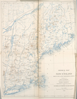
Physical Map of New England.
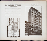
No. 929 Park Avenue. Near Eig…
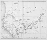
Carte du Soudan occidental.
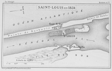
Saint - Louis en 1854
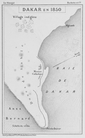
Dakar en 1850
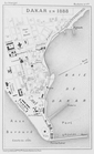
Dakar en 1888
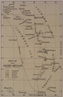
Map of the Lesser Antilles
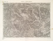
Toblach und Cortina D'ampezzo…
Topographical map of the Dist…
Bird's-eye view of the Conema…
Baltimore in 1889
Plan of the Country Club Land…
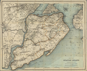
Map of Staten Island, Richmon…
Bay and harbor of New York
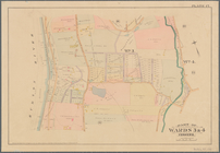
Part of Wards 3 & 4, Yonkers
Colton's road map of Monmouth…
m
Map of Multnomah County, Oreg…
Rand McNally & Co.'s new offi…
County and township map of Or…
Rand, McNally & Co.'s New Jer…
m
Massachusetts
m
Rand McNally and Co's standar…
Map of the city of Washington…
Birds-eye view of the Blue Gr…
m
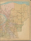
Supervisors districts elevent…
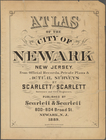
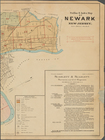
Atlas of the city of Newark, …
Index Map (Left Page)
Index Map (Right Page)
m
Newark, Double Page Plate No.…
m
Newark, Double Page Plate No.…
m
Newark, Double Page Plate No.…
1
2
3
4
5
6
7
8
9
10
…
28
29
Previous
Next
1
2
3
4
5
6
7
8
9
10
…
28
29
Previous
Next