Click to visit the main New York Public Library Homepage
The New York Public Library
Digital Collections
About Digital Collections
Browse
Search only public domain materials
Items
Collections
Divisions
Home
Search
Browse
About
Search only public domain materials
Items
Collections
Divisions
Digital Collections
Using Images
Using Data
Search
Filtered search
Show filters
Hide filters
Show Only Public Domain
topic
Real property
353
Railroads
37
Cemeteries
20
Administrative and political divisions
17
Local transit
17
More
Less
name
E.B. Hyde & Co
118
Ullitz, Hugo
118
G.M. Hopkins & Co
108
E. Robinson Co
77
Robinson, E. (Elisha)
77
More
Less
collection
Atlases of New York City
354
Maps of New York City and State
105
Scrapbooks of New York City views
23
Robert N. Dennis collection of stereoscopic views
16
Photographic views of New York City, 1870's-1970's, from the collections of the New York Public Library
11
More
Less
place
x
Brooklyn (New York, N.Y.)
New York (State)
456
New York
439
New York (N.Y.)
79
Manhattan (New York, N.Y.)
18
More
Less
genre
Maps
439
Photographs
44
Stereographs
16
Prints
12
Title pages
12
More
Less
publisher
E.B. Hyde & Co
118
G.M. Hopkins & Co
108
E. Robinson Co
77
G. W. Bromley & E. Robinson
37
publisher not identified
16
More
Less
division
Map Division
459
Milstein Division
34
Wallach Division: Photography Collection
16
Wallach Division: Print Collection
11
Wallach Division: Picture Collection
4
More
Less
type
cartographic
445
still image
72
text
24
notated music
2
Date Range
to
530 results found
Filtering on:
x
Date
: 1870 - 1902
x
Place
: Brooklyn (New York, N.Y.)
x
Rights
: Public Domain
Sort by:
Title
Date created
Date digitized
Sequence
Records of searches in relati…
Map of the borough of Brookly…
m
The Blanchard Press correctly…
Guide map to the Brooklyn and…
Map of the borough of Brookly…
Map showing proposed extensio…
Map of the borough of Brookly…
m
Sea Gate, New York Harbor
m
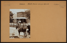
Brooklyn: Devoe Street - Lori…
Map of New York, Brooklyn, an…
New map of the great metropol…
m
New guide map of New York Cit…
m
Taunton new guide map and dir…
Plan of Bay Ridge Parkway
Map of the enlarged city of B…
m
New map of Kings and Queens c…
New map of Brooklyn and vicin…
m
Map of the city of Brooklyn
Colton's New York City, Brook…
m
Watson's new map of New York …
m
Watson's new map of New York …
m
Watson's new map of New York,…
m
Brooklyn: Cropsey Avenue - 7t…
m
Brooklyn: Court Street - Fult…
m
Brooklyn: Court Street - Jora…
m
Brooklyn: Court Street - Myrt…
m
Brooklyn: Clarendon Road - 22…
m
Brooklyn: Bushwick Avenue - C…
m
Brooklyn: Bedford Avenue - Di…
m
Brooklyn: Bath Avenue - Bay 1…
m
Brooklyn: Atlantic Avenue - W…
m
Brooklyn: Atlantic Avenue - N…
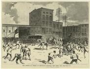
The street-car strike in Broo…
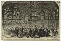
The Sanitary Fair, Brooklyn, …
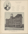
Joseph S. Burns, Branch Princ…
m
New map of Kings and Queens c…
Plan of the Battle of Long Is…
Map of Brooklyn during the Ba…
m
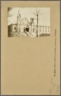
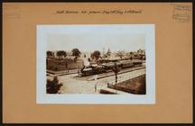
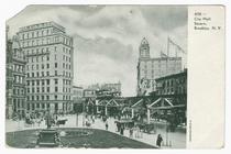
City Hall Square, Brooklyn, N…
m
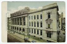
Hall of Records, Brooklyn N.Y.
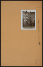
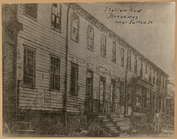
Woodframe tenements known as …
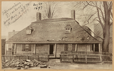
Schermerhorn Farmhouse (1697?…
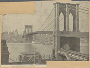
The East River Bridge from th…
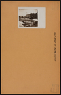
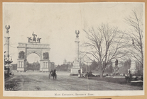
Main Entrance, Prospect Park
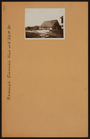
Three Mile House (1854)
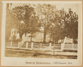
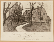
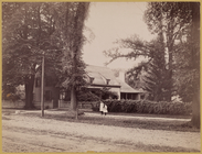
Boerum Homestead
Benson Homestead, Bensonhurst
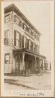
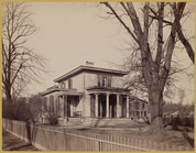
Victorian house
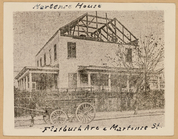
Martense House
Dutch style farm house with t…
1
2
3
Previous
Next
1
2
3
Previous
Next