Click to visit the main New York Public Library Homepage
The New York Public Library
Digital Collections
About Digital Collections
Browse
Search only public domain materials
Items
Collections
Divisions
Home
Search
Browse
About
Search only public domain materials
Items
Collections
Divisions
Digital Collections
Using Images
Using Data
Search
Filtered search
Show filters
Hide filters
Show Only Public Domain
topic
Real property
3318
Cities & towns
3086
Fire insurance
3086
Description and travel
112
name
Sanborn Map Company
3086
Beers, F. W. (Frederick W.)
148
Beers, Comstock & Cline
112
G.M. Hopkins & Co
108
G.W. Bromley & Co
80
More
Less
collection
x
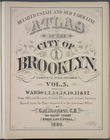
Atlases of New York City
place
New York (State)
3318
New York
232
Brooklyn (New York, N.Y.)
159
Long Island (N.Y.)
112
New York (N.Y.)
63
More
Less
genre
Maps
3467
Title pages
12
pages (components)
12
Index maps
5
tables (documents)
3
More
Less
publisher
Sanborn Map Company
3086
Beers, Comstock & Cline
112
G.M. Hopkins & Co
108
G. W. Bromley & E. Robinson
80
E. Robinson Co
44
More
Less
division
Map Division
3499
type
cartographic
3467
text
34
Date Range
to
3,499 results found
Filtering on:
x
Date
: 1871 - 1885
x
Collection
: Atlases of New York City
For more collection details, visit the
Atlases of New York City collection page
.
Sort by:
Title
Date created
Date digitized
Sequence
Results 251 - 300
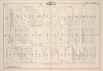
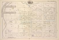
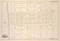
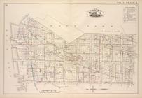
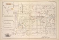
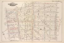
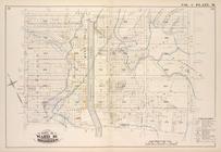
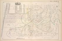
Map bound by Central Ave., Sc…
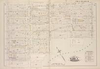
Map bound by Magnolia St., Ci…
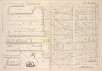
Map bound by City Line, Cemet…
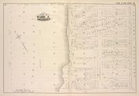
Map bound by Central Ave., Ce…
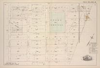
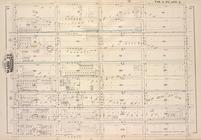
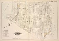
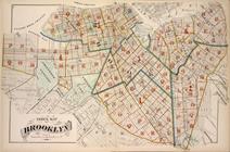
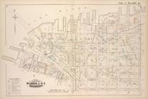
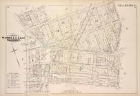
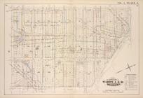
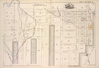
Detailed Estate and Old Farm …
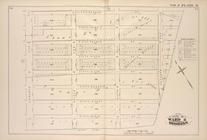
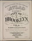
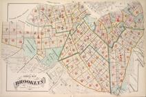
Index Map of Brooklyn
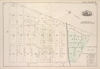
Map bound by Atlantic Ave., F…
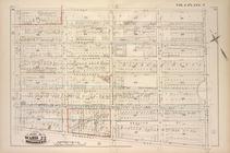
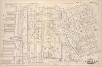
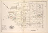
Map bound by St. Johns Place,…
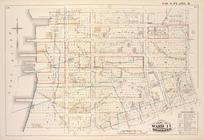
Map bound by Fifth Ave., Fift…
Map bound by Fifth St., Sixth…
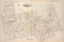
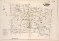
Map bound by First St., Ninth…
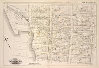
Map bound by Tenth St., Ninth…
Map bound by Thirteenth St., …
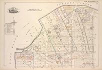
Map bound by Prospect Ave., N…
Map bound by Ninth Ave., Pros…
Map bound by Twentieth St., F…
Map bound by Twenty-Eighth St…
Map bound by Thirty-Sixth, Fi…
Map bound by Greenwood Cemete…
Map bound by Greenwood Cemete…
Map bound by Forty-Fourth St.…
Map bound by Fifty-Second, Fo…
Map bound by Fifty-Second St.…
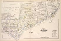
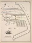
Detailed Estate and Old Farm …
Index Map of Brooklyn
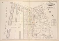
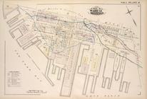
Map bound by U.S. Navy Yard, …
Map bound by East River, Brid…
Map bound by Poplar St., Sand…
Map bound by Sands St., U.S. …
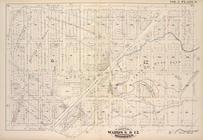
Map bound by Pierrepont St., …
Map bound by Johnson St., Pea…
Map bound by Washington Park,…
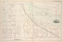
Map bound by Atlantic Ave., C…
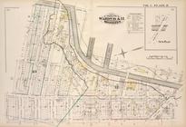
Map bound by Atlantic St., St…
Map bound by Bond St., Fulton…
Map bound by Harrison St., He…
Map bound by Harrison St., Co…
Map bound by Butler St., Four…
Map bound by Hamilton Ave., C…
Map bound by Court St., Lorra…
Map bound by Gowanus Canal, S…
Map bound by Atlantic Basin, …
Map bound by Partition St., O…
Map bound by Lorraine St., Ha…
Map bound by Henry St. Slip, …
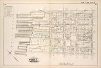
Detailed Estate and Old Farm …
Index Map of Brooklyn
Detailed Estate and Old Farm …
Map bound by Huron St., Oakla…
Map bound by Manhattan Ave., …
1
2
3
4
5
6
7
8
9
10
…
13
14
Previous
Next
1
2
3
4
5
6
7
8
9
10
…
13
14
Previous
Next