Click to visit the main New York Public Library Homepage
The New York Public Library
Digital Collections
About Digital Collections
Browse
Search only public domain materials
Items
Collections
Divisions
Home
Search
Browse
About
Search only public domain materials
Items
Collections
Divisions
Digital Collections
Using Images
Using Data
Search
Filtered search
Show filters
Hide filters
Show Only Public Domain
topic
x
Real property
Business enterprises
251
History
92
Description and travel
45
Landowners
25
More
Less
name
Beers, F. W. (Frederick W.)
197
D.G. Beers & Co
130
J.B. Beers & Co
111
Walker & Jewett (Firm)
62
Beers, Upton & Co
46
More
Less
collection
Atlases of the United States
450
Maps of New York City and State
20
Maps of North America
15
place
New York (State)
424
Orange County
90
Orange County (N.Y.)
90
Cayuga County
62
Cayuga County (N.Y.)
62
More
Less
genre
Atlases
449
Maps
382
Prints
50
Cadastral maps
25
Title pages
7
More
Less
publisher
Andreas, Baskin & Burr
90
Walker & Jewett
62
D.G. Beers
55
Beers, Upton & Co
46
D. G. Beers & Co
41
More
Less
division
Map Division
485
type
cartographic
430
text
61
still image
2
Date Range
to
485 results found
Filtering on:
x
Date
: 1872 - 1875
x
Topic
: Real property
Sort by:
Title
Date created
Date digitized
Sequence
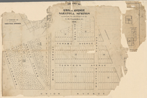
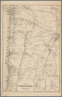
Plan of land on West Chester …
Map of the Iron Cliffs Co.'s …
Map showing iron mines in vic…
Portion of the copper distric…
Map of Madison County, Virgin…
m
Map of Fulton Co., Pennsylvan…
Map of Long Island: showing t…
New Orleans : map of the revo…
Map of property of the Dundee…
A plan of the town of Pittsfo…
m
State of Florida : Florida La…
Map of the city of Yonkers, F…
Map of the city of Yonkers, S…
Southern part of Yonkers, and…
Map of pr[op]erty of Union Av…
Portions of 2nd, 3rd, and 4th…
Map of land belonging to Feli…
Portions of 1st, 2nd, and 3rd…
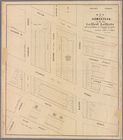
Plan of burnt district (by fi…
Spring Vale
North Berwick: [Maine]
North Berwick: [Maine]. Limin…
Map showing location of lands…
Centennial map of Concord, 17…
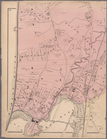
Town of Greenburgh, Westchest…
Map of the city of Yonkers, T…
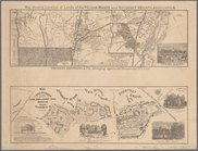
Plan showing route of Rochest…
m
Map of Staten Island (Richmon…
m
Map showing the high and low …
Map of the Rutger's Farm as i…
m
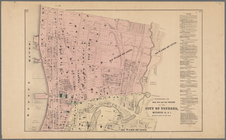
Map of the City of New York n…
m
Map of the northern portion o…
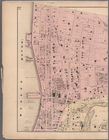
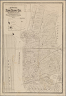
Map of Brooklyn and vicinity
Map of the homestead of the l…
Map of Long Island City, Quee…
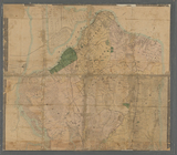
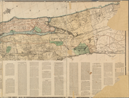
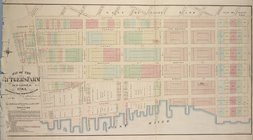
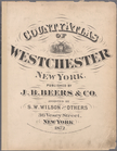
County atlas of Westchester, …
m
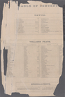
Table of Contents: Towns - Vi…
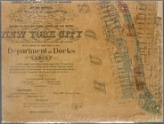
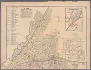
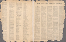
New York City Business Notice…
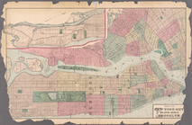
Plates 11 & 12: Map of New Yo…
m
Plates 14 & 15: Towns of West…
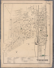
Plate 16: Tremont, Town of We…
m
Plates 17 & 18: Fordham, Town…
m
Plates 19 & 20: West Farms, W…
m
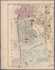
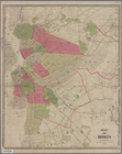
Plates 21 & 22: Town and City…
m
Plates 23 & 24: Southern Part…
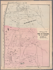
Plate 25: Parts of 1st Ward o…
m
Plates 26 & 27: Portions of 1…
m
Plates 28 & 29: Portions of 2…
m
Plates 30 & 31: Mount Vernon,…
m
Plates 34 & 35: Dobbs Ferry, …
1
2
Previous
Next
1
2
Previous
Next