Click to visit the main New York Public Library Homepage
The New York Public Library
Digital Collections
About Digital Collections
Browse
Search only public domain materials
Items
Collections
Divisions
Home
Search
Browse
About
Search only public domain materials
Items
Collections
Divisions
Digital Collections
Using Images
Using Data
Search
Filtered search
Show filters
Hide filters
Show Only Public Domain
topic
History
2
Administrative and political divisions
1
Business enterprises
1
Indian reservations
1
Military bases
1
More
Less
name
Bien, Julius, 1826-1909
2
American Civil War (1861-1865)
1
American Revolution (1775-1783)
1
Asher & Adams
1
Becker, C
1
More
Less
collection
Maps of North America
9
Atlases of the United States
2
place
x
United States
Dakota Territory
2
Black Hills (S.D. and Wyo.)
1
Georgia
1
Idaho
1
More
Less
genre
Maps
11
Atlases
2
publisher
A.J. Johnson
1
Asher & Adams
1
Corps of Engineers
1
Ed. W. Welke
1
G.W. & C.B. Colton & Co
1
More
Less
division
Map Division
11
type
x
cartographic
Date Range
to
11 results found
Filtering on:
x
Date
: 1874 - 1874
x
Place
: United States
x
Type
: cartographic
Sort by:
Title
Date created
Date digitized
Sequence
A.R. Roessler's latest map of…
Map of the Black Hills : from…
Johnson's Nebraska, Dakota, I…
Plan of the French and Americ…
Kentucky et Tennessee
Asher & Adams' United States …
m
Map showing the limits of the…
m
Map showing the lines of the …
Map showing, in five degrees …
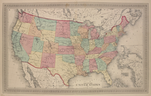
Map of The United States
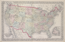
Map of The United States, and…
End of results
|
Top