Click to visit the main New York Public Library Homepage
The New York Public Library
Digital Collections
About Digital Collections
Browse
Search only public domain materials
Items
Collections
Divisions
Home
Search
Browse
About
Search only public domain materials
Items
Collections
Divisions
Digital Collections
Using Images
Using Data
Search
Filtered search
Show filters
Hide filters
Show Only Public Domain
topic
x
Administrative and political divisions
Railroads
4
Real property
2
City planning
1
History
1
More
Less
name
G.W. & C.B. Colton & Co
3
J.H. Bufford's Sons Lith
3
Sampson, Davenport & Co
3
American Photo-Lithographic Company
1
Asher & Adams
1
More
Less
collection
Maps of North America
10
Maps of New York City and State
7
place
New York (State)
7
Manhattan (New York, N.Y.)
4
Massachusetts
4
New York (N.Y.)
4
Bronx (New York, N.Y.)
2
More
Less
genre
Maps
17
Cadastral maps
1
publisher
Sampson, Davenport & Co
3
G.W. & C.B. Colton & Co
2
A.J. Johnson
1
Asher & Adams
1
B.B. Russell
1
More
Less
division
Map Division
17
type
x
cartographic
Date Range
to
17 results found
Filtering on:
x
Date
: 1874 - 1874
x
Topic
: Administrative and political divisions
x
Type
: cartographic
Sort by:
Title
Date created
Date digitized
Sequence
Map of Massachusetts: to acco…
Johnson's Nebraska, Dakota, I…
Map of the city of Worcester
Map of Long Island: showing t…
New Orleans : map of the revo…
m
Colton's New Jersey
m
Guide map of the city of Eliz…
Map of Taunton: [Massachusett…
Map of Boston for 1874: publi…
Ancient Windham County: names…
Russell's map of Massachusetts
Map of the New York wildernes…
Asher & Adams' new map of the…
Map of New York City / drawn …
Map of the County of New York…
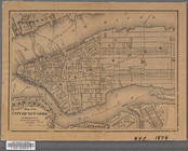
Map of the City of New York
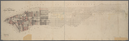
Map of the City of New York
End of results
|
Top