Click to visit the main New York Public Library Homepage
The New York Public Library
Digital Collections
About Digital Collections
Browse
Search only public domain materials
Items
Collections
Divisions
Home
Search
Browse
About
Search only public domain materials
Items
Collections
Divisions
Digital Collections
Using Images
Using Data
Search
Filtered search
Show filters
Hide filters
Show Only Public Domain
topic
x
Real property
Business enterprises
121
History
93
Landowners
57
Administrative and political divisions
18
More
Less
name
Beers, F. W. (Frederick W.)
181
F.W. Beers & Co
148
Everts, Ensign & Everts
132
G.M. Hopkins & Co
108
G.W. Bromley & Co
80
More
Less
collection
Atlases of the United States
562
Atlases of New York City
188
Maps of North America
55
Maps of New York City and State
25
place
New York (State)
775
New York
194
Brooklyn (New York, N.Y.)
149
Erie County
148
Erie County (N.Y.)
148
More
Less
genre
Maps
732
Atlases
562
Cadastral maps
55
Prints
49
Title pages
11
More
Less
publisher
F. W. Beers & Co
148
G.M. Hopkins & Co
108
Andreas, Baskin & Burr
90
G. W. Bromley & E. Robinson
80
Walker & Jewett
62
More
Less
division
Map Division
830
type
cartographic
780
text
53
still image
2
Date Range
to
830 results found
Filtering on:
x
Date
: 1875 - 1880
x
Topic
: Real property
Sort by:
Title
Date created
Date digitized
Sequence
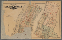
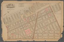
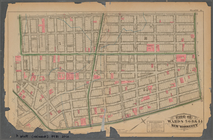
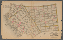
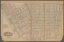
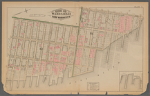
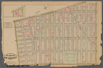
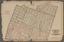
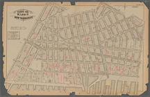
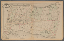
Atlas of the entire city of N…
m
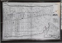
Outline & Index Map of New Yo…
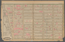
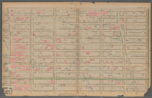
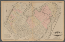
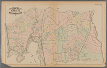
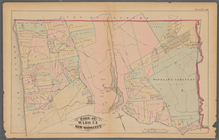
Plate 1:: [Bounded by (Hudson…
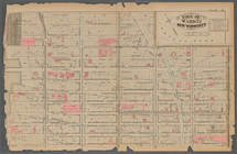
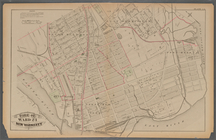
Plate 2:: [Bounded by Broadwa…
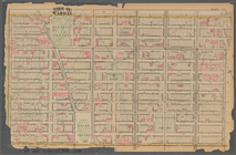
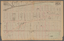
Plate 3:: [Bounded by (Hudson…
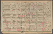
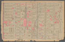
Plate 4:: [Bounded by West Br…
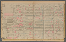
Plate 5:: [Bounded by Bowery,…
Plate 6:: [Bounded by Rutgers…
Plate 7:: [Bounded by Avenue …
Plate 8:: [Bounded by Bowery,…
Plate 9:: [Bounded by Hancock…
Plate 10:: [Bounded by Waverl…
Plate 11:: [Bounded by W. 26t…
Plate 12:: [Bounded by W. 26t…
Plate 13:: [Bounded by W. 38t…
Plate 14:: [Bounded by W. 38t…
Plate 15:: [Bounded by W. 50…
Plate 16:: [Bounded by W. 62n…
Plate 17:: Bounded by (Hudson…
Plate 18:: [Bounded by W. 50t…
Plate 19:: [Bounded by W. 59t…
Plate 20:: [Bounded by E. 74t…
Plate 21: : [Bounded by E. 86…
Plate 22:: [Bounded by E. 98t…
Plate 23:: [Bounded by E. 110…
Plate 24:: [Bounded by E. 120…
Plate 25: : [Bounded by Twelf…
Plate 26:: [Bounded by (River…
Plate 27:: [Left side bounded…
Plate 28:: [Bounded by W. 133…
Plate 29:: [Bounded by W. 133…
Plate 30:: [Bounded by W. 152…
Plate 31:: [Bounded by Hudson…
Plate 32:: [Bounded by (Hudso…
Plate 33:: [Bounded by Hudson…
Plate 34:: [Bounded by 156th …
Plate 35:: [Bounded by Gouver…
Plate 36:: [Bounded by (Bronx…
Plate 37:: [Bounded by New Yo…
Plate 38:: [Bounded by (Harle…
Plate 39:: [Bounded by Gun Hi…
Plate 40:: [Bounded by City o…
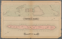
Plate 41:: [Central Park boun…
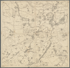
Map showing the Adirondack La…
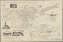
Map of Westminster Park of th…
m
Map number sixteen : [Berkele…
Guide map of the City of San …
Milford in 1646: [Connecticut]
First District Anne Arundel C…
Eighth District Anne Arundel …
1
2
3
4
Previous
Next
1
2
3
4
Previous
Next