Click to visit the main New York Public Library Homepage
The New York Public Library
Digital Collections
About Digital Collections
Browse
Search only public domain materials
Items
Collections
Divisions
Home
Search
Browse
About
Search only public domain materials
Items
Collections
Divisions
Digital Collections
Using Images
Using Data
Search
Filtered search
Show filters
Hide filters
Show Only Public Domain
topic
Real property
3955
Fire insurance
3108
Cities & towns
3085
Administrative and political divisions
254
Railroads
226
More
Less
name
Sanborn Map Company
3085
E. Robinson Co
237
Everts, Ensign & Everts
231
Pidgeon, R. H. (Roger H.)
199
G.M. Hopkins & Co
193
More
Less
collection
Atlases of New York City
3454
Atlases of the United States
960
Maps of North America
689
Maps of New York City and State
268
Atlases, gazetteers, guidebooks and other books
28
More
Less
place
New York (State)
4074
New York
363
Brooklyn (New York, N.Y.)
221
New York (N.Y.)
189
Erie County
148
More
Less
genre
x
Maps
Atlases
957
Cadastral maps
119
Plans
87
Topographic maps
52
More
Less
publisher
Sanborn Map Company
3085
E. Robinson Co
190
F. W. Beers & Co
148
G.M. Hopkins & Co
101
Everts, Ensign & Everts
99
More
Less
division
Map Division
5422
Manuscripts and Archives Division
14
Rare Book Division
14
Wallach Division: Picture Collection
10
Wallach Division: Photography Collection
9
More
Less
type
cartographic
5468
still image
62
text
36
Date Range
to
5,487 results found
Filtering on:
x
Date
: 1876 - 1889
x
Genre
: Maps
Sort by:
Title
Date created
Date digitized
Sequence
Results 751 - 800
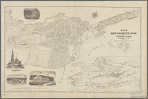
Driving road chart of Westche…
m
Colton's map of the county of…
Map of Olean, New York
Map of part of Town of Fishki…
Map of Webster's Addition to …
Congressional district vote m…
Colton's township road map of…
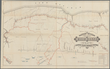
Map of the New-Haven water su…
Price, Lee & Co's. new map of…
Map of property belonging to …
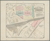
Part of Wards 3 & 4, Yonkers
Map of lots situated in the c…
Map of the railroads of the s…
Map of Westminster Park of th…
Plan of the city of Hartford …
New map of the city of Norwic…
Connecticut
Stedman's new map of the city…
Milford in 1646: [Connecticut]
New West
Hypsometric sketch of the Uni…
Buckwheat, values and yields …
Map of the United States show…
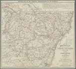
Western Division of the Erie …
Warner's safe cure prize map …
Map of the former territorial…
m
The New York wilderness: Hami…
m
Map of upper New York City an…
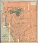
Olmsted's sketch map of Buffa…
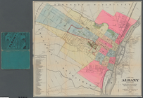
City of Albany, New York: fro…
A plott of ye situations of t…
m
Map of Long Island
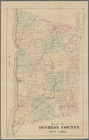
Map of Duchess County, New Yo…
m
General railway map of the Un…
m
Map of Long Island and the so…
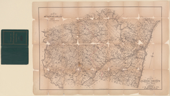
Plan of Sullivan County, New …
Map of Greene Co., N.Y. and p…
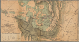
Map of all points of interest…
Map of New-York City
Map of New-York City
Blatt II: Belfort, Basel
Blatt III: Liestal, Schaffhau…
Blatt IV: Frauenfeld, St. Gal…
Blatt V: Rheineck
Blatt VI: Besancon, Le Locle
Blatt VII: Porrentruy, Soloth…
Blatt VIII: Aarau, Luzern, Zu…
Blatt IX: Schwyz, Glarus, App…
Blatt X: Feldkirch, Arlberg
Blatt XI: Pontarlier, Yverdon
1
2
3
4
5
6
7
8
9
10
…
21
22
Previous
Next
1
2
3
4
5
6
7
8
9
10
…
21
22
Previous
Next