Click to visit the main New York Public Library Homepage
The New York Public Library
Digital Collections
About Digital Collections
Browse
Search only public domain materials
Items
Collections
Divisions
Home
Search
Browse
About
Search only public domain materials
Items
Collections
Divisions
Digital Collections
Using Images
Using Data
Search
Filtered search
Show filters
Hide filters
Show Only Public Domain
topic
Real property
3716
Cities & towns
3128
Fire insurance
3128
History
694
Historic buildings
575
More
Less
name
Sanborn Map Company
3128
Wurts Bros. (New York, N.Y.)
522
Robinson, E. (Elisha)
249
E. Robinson Co
209
Pidgeon, R. H. (Roger H.)
177
More
Less
collection
Atlases of New York City
3482
Emmet Collection of Manuscripts Etc. Relating to American History
737
Collection of photographs of New York City
522
Robert N. Dennis collection of stereoscopic views
423
Wallach Division Picture Collection
405
More
Less
place
x
New York (State)
New York
1747
New York (N.Y.)
1063
Manhattan (New York, N.Y.)
605
Brooklyn (New York, N.Y.)
345
More
Less
genre
Maps
3900
Photographs
1270
Prints
1002
Stereographs
423
Atlases
227
More
Less
publisher
Sanborn Map Company
3128
E. Robinson Co
209
F. W. Beers & Co
148
G.M. Hopkins & Co
108
G. W. Bromley & E. Robinson
37
More
Less
division
Map Division
3918
Milstein Division
784
Wallach Division: Print Collection
752
Wallach Division: Photography Collection
431
Wallach Division: Picture Collection
190
More
Less
type
cartographic
3903
still image
2453
text
58
Date Range
to
6,392 results found
Filtering on:
x
Date
: 1880 - 1890
x
Place
: New York (State)
Sort by:
Title
Date created
Date digitized
Sequence
Results 751 - 800
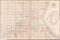
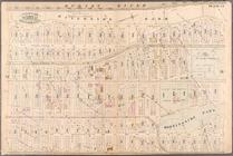
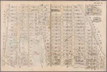
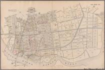
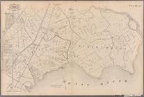
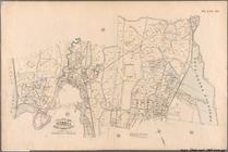
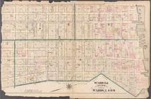
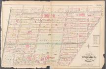
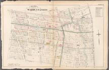
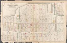
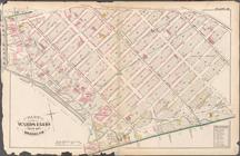
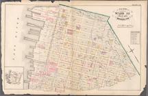
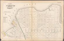
Plate 21: Bounded by E. 102nd…
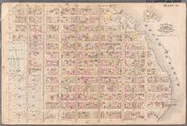
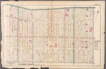
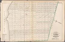
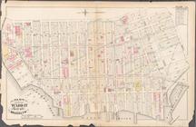
Plate 22: Bounded by E. 115th…
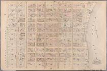
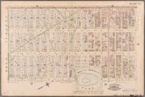
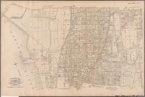
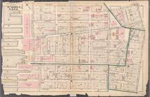
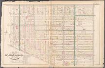
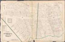
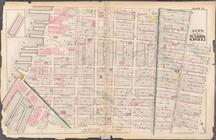
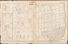
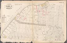
Plate 23: Bounded by W. 77th …
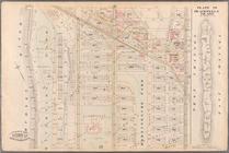
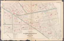
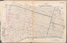
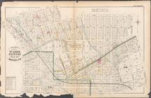
Plate 24: Bounded by Twelfth …
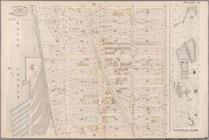
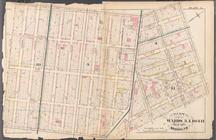
Plate 25: Bounded by Hudson R…
Plate 26: Bounded by E. 128th…
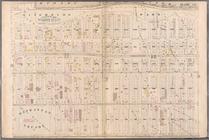
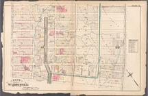
Plate 27: Bounded by Eighth A…
Plate 28: Bounded by W. 129th…
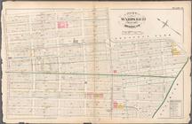
Plate 29: W. 147th Street, Ex…
Plate 30: Bounded by W. 166th…
Plate 31: Bounded by Harlem R…
Plate 32: Bounded by Harlem R…
Plate 33: E. 144th Street, Ri…
Plate 34: Bounded by 161st St…
Plate 35: Bounded by .....N. …
Plate 36: Bounded by Horton S…
Plate 37: Bounded by Westches…
Plate 38: Bounded by Harlem R…
Plate 39: Vanderbilt Avenue, …
Plate 40: Bounded by .....
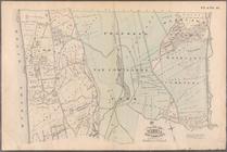
Plate 41: Bounded by City of …
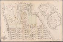
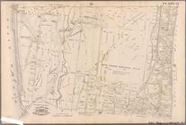
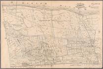
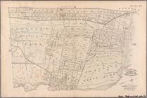
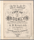
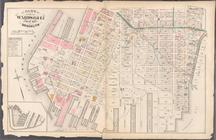
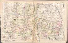
Atlas of the entire city of B…
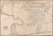
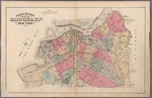
Outline & Index Map of Brookl…
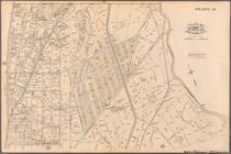
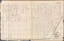
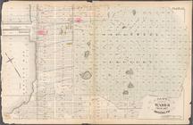
Plate 1:Bounded by Furman Str…
Plate 2: Bounded by Adams Str…
Plate 3: Bounded by Pierpont …
Plate 4: Bounded by Smith Str…
Plate 5: Bounded by Baltic St…
Plate 6: Bounded by Clinton A…
Plate 7: Bounded by Flushing …
Plate 8: Bounded by De Kalb A…
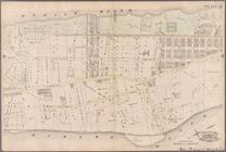
Plate 9: Bounded by Fulton St…
Plate 10: Bounded by Fulton S…
Plate 11: Bounded by Park Pla…
Plate 12: Bounded by Fifth Av…
Plate 13: Bounded by 11th Str…
Plate 14: Bounded by Third Av…
Plate 15: Bounded by Congress…
Plate 16: Bounded by Bowne St…
Plate 17: Bounded by 21st Str…
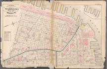
Plate 20: Bounded by S. 11th …
Plate 18: Bounded by 40th Str…
Plate 19: Bounded by Albany A…
Plate 21: Bounded by Grand St…
Plate 22: Bounded by N. 14th …
Plate 23: Bounded by Oakland …
Plate 24: Bounded by Emery St…
Plate 25: Bounded by 2nd Stre…
Plate 26: Bounded by Scott Av…
Plate 27: Bounded by Withers …
1
2
3
4
5
6
7
8
9
10
…
25
26
Previous
Next
1
2
3
4
5
6
7
8
9
10
…
25
26
Previous
Next