Click to visit the main New York Public Library Homepage
The New York Public Library
Digital Collections
About Digital Collections
Browse
Search only public domain materials
Items
Collections
Divisions
Home
Search
Browse
About
Search only public domain materials
Items
Collections
Divisions
Digital Collections
Using Images
Using Data
Search
Filtered search
Show filters
Hide filters
Show Only Public Domain
topic
Real property
3266
Fire insurance
3108
Cities & towns
3085
Railroads
104
Administrative and political divisions
103
More
Less
name
Sanborn Map Company
3085
Pidgeon, R. H. (Roger H.)
155
E. Robinson Co
154
Robinson, E. (Elisha)
108
G.M. Hopkins & Co
63
More
Less
collection
Atlases of New York City
3192
Maps of North America
314
Atlases of the United States
196
Maps of New York City and State
126
Century Company records
10
More
Less
place
New York (State)
3275
New York
111
New York (N.Y.)
106
New Jersey
78
Brooklyn (New York, N.Y.)
61
More
Less
genre
Maps
3866
Atlases
194
Cadastral maps
45
Topographic maps
27
Prints
15
More
Less
publisher
Sanborn Map Company
3085
E. Robinson Co
107
The Company
65
E. Robinson
48
C.B. Brush
39
More
Less
division
Map Division
3838
Rare Book Division
14
Manuscripts and Archives Division
13
Schomburg Jean Blackwell Hutson Research and Reference Division
3
Dorot Jewish Division
2
More
Less
type
x
cartographic
text
28
still image
16
Date Range
to
3,874 results found
Filtering on:
x
Date
: 1881 - 1887
x
Type
: cartographic
Sort by:
Title
Date created
Date digitized
Sequence
Trans-Flat-Top Land Associati…
m
Smith's map of the city of Ph…
m
New map of the city of Philad…
Thresher's souvenir map of St…
Map of the White Mountains of…
Plan of Bar Harbor, Mount Des…
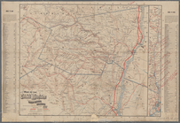
Map of the railroads of the s…
Map showing the Lehigh Valley…
Map of Hon. Wm. L. Scott's es…
Map of San Francisco, Cal., s…
m
Map of the city of Springfiel…
Warner's safe cure prize map …
Historical sketch map of King…
Map of the Cumberland coal re…
Map of the City of San Jose
Map showing the boulevards an…
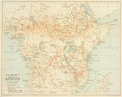
Slave trade map of equatorial…
Outline and Index Map of the …
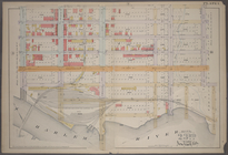
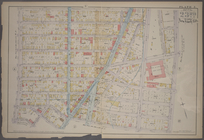
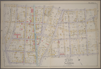
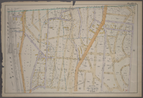
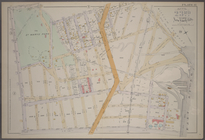
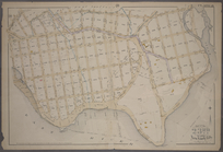
Plate 1: [Bounded by E. 137th…
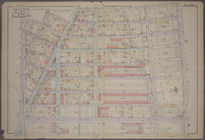
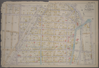
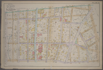
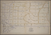
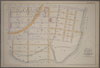
Plate 2: [Bounded by E. 144th…
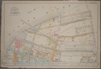
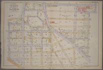
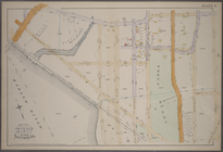
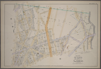
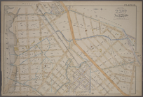
Plate 3: [Bounded by River Av…
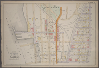
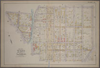
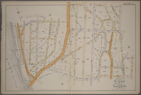
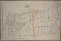
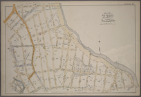
Plate 4: [Bounded by Cromwell…
Plate 5: [Bounded by E. 154th…
Plate 6: [Bounded by E. 162nd…
Plate 7: [Bounded by St. Anns…
Plate 8: [Bounded by E. 164th…
Plate 9: [Bounded by E. 168th…
Plate 10: [Bounded by E. 170t…
Plate 11: [Bounded by E. 161s…
Plate 12: [Bounded by Devoe S…
Plate 13: [Bounded by Depot P…
Plate 14: [Bounded by Sherida…
Plate 15: [Bounded by Boston …
Plate 16: [Bounded by E. 167t…
Plate 17: [Bounded by E. 149t…
Plate 18: [Bounded by E. 138t…
Plate 19: [Bounded by Bungay …
Plate 20: [Bounded by Dongan …
Plate 21: [Bounded by Winslow…
m
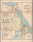
Carta dell' Egitto, Sudan, Ma…
Map of the city of Topeka, Sh…
A bird's-eye view of Narragan…
m
Beers' new map of Staten Isla…
Metropolitan district of Chic…
Map of the Catskill Mountains…
Colton's excursion map of Nor…
State of Minnesota : 1887 : c…
Map of property of the Bloomi…
Official map of the territory…
Green-Wood Cemetery, 1887
1
2
3
4
5
6
7
8
9
10
…
15
16
Previous
Next
1
2
3
4
5
6
7
8
9
10
…
15
16
Previous
Next