Click to visit the main New York Public Library Homepage
The New York Public Library
Digital Collections
About Digital Collections
Browse
Search only public domain materials
Items
Collections
Divisions
Home
Search
Browse
About
Search only public domain materials
Items
Collections
Divisions
Digital Collections
Using Images
Using Data
Search
Filtered search
Show filters
Hide filters
Show Only Public Domain
topic
Railroads
21
Administrative and political divisions
17
Local transit
5
Real property
5
Indian reservations
4
More
Less
name
G.M. Hopkins & Co
21
Julius Bien & Co
10
Rand McNally and Company
5
Strum, G. P. (Gustave P.)
5
United States. General Land Office
5
More
Less
collection
Maps of North America
44
Atlases of the United States
21
Maps of New York City and State
16
I. N. Phelps Stokes Collection of American Historical Prints
2
William Frederick Allen papers, 1870-1894, bulk (1879-1894)
1
place
Utica (N.Y.)
21
New York (State)
14
Manhattan (New York, N.Y.)
6
New York (N.Y.)
6
United States
6
More
Less
genre
x
Maps
Atlases
21
Topographic maps
7
Cadastral maps
4
Geological maps
2
More
Less
publisher
G.M. Hopkins
21
Northern Transcontinental Survey?
3
Published by Warner & Foote
3
publisher not identified
3
Benjamin Smith Lyman?
2
More
Less
division
Map Division
81
Wallach Division: Print Collection
2
Manuscripts and Archives Division
1
type
cartographic
84
text
4
still image
1
Date Range
to
84 results found
Filtering on:
x
Date
: 1883 - 1883
x
Genre
: Maps
Sort by:
Title
Date created
Date digitized
Sequence
Map of military reservation o…
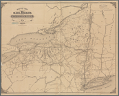
Map of the railroads of the s…
Plan of the town of Worcester…
Preliminary study of a plan f…
Preliminary agricultural map …
m
Nell's topographical & townsh…
Atlantic coast lists
Washington Territory
Indian Territory
Northwestern section of a map…
m
Liquordom in New York City
Railway and highway map of th…
m
Map showing land grant of Nor…
Sewerage map of the city of M…
Map of the rail roads of the …
Rand, McNally & Co.'s new com…
m
Map of Montana: compiled from…
Putnam County Florida
Circulus articus oceanus occi…
Parte de allia
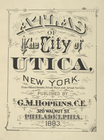
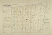
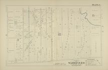
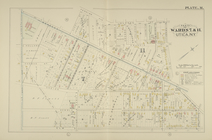
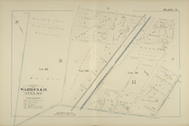
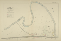
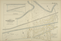
Atlas of the City of Utica, N…
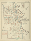
Index Map
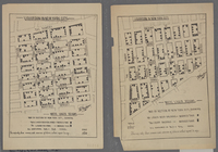
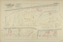
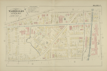
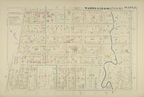
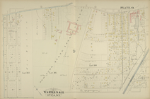
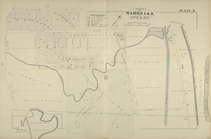
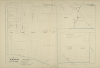
Parts of Wards 2. 3. & 6.
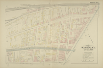
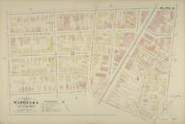
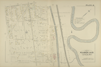
Parts of Wards 2. & 3.
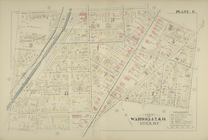
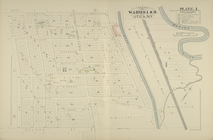
Parts of Wards 3. 6. & 9.
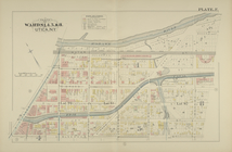
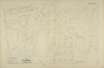
Parts of Wards 3. & 4.
Parts of Wards 3. 4. 7. & 11.
Parts of Wards 4. 5. & 8.
Parts of Wards 4. 5. 8. & 10.
Parts of Wards 1. & 8.
Parts of Wards 1. & 8.
Part of Ward 8.
Parts of Wards 7. 8. & 12.
Parts of Wards 7. 8. & 12.
Parts of Wards 7. & 11.
Parts of Wards 9. & 11.
Parts of Wards 9. & 11.
Part of Ward 2.
Parts of Wards 2. 6. & 9.
Parts of Wards 1. & 8.
Part of Ward 8.
Map showing the rail roads wi…
Rand McNally & Co.'s new sect…
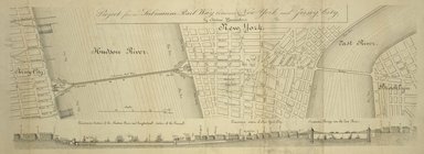
Project for a submarine rail …
A geological and topographica…
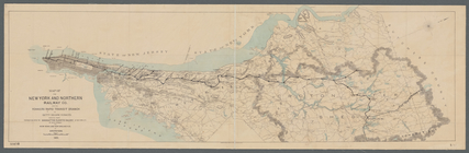
Map of the New York and North…
A geological and topographica…
Map of the Cherokee strip, In…
m
Map of Dallas County, Iowa : …
Map of the state of South Car…