Click to visit the main New York Public Library Homepage
The New York Public Library
Digital Collections
About Digital Collections
Browse
Search only public domain materials
Items
Collections
Divisions
Home
Search
Browse
About
Search only public domain materials
Items
Collections
Divisions
Digital Collections
Using Images
Using Data
Search
Filtered search
Show filters
Hide filters
Show Only Public Domain
topic
Parks
1984
Real property
1430
Apartment houses
1228
Building construction
1010
Hotels
957
More
Less
name
Sperr, Percy Loomis, 1890-1964
5131
G.W. Bromley & Co
1470
Abbott, Berenice, 1898-1991
1215
Federal Art Project (New York, N.Y.)
1209
Wurts Bros. (New York, N.Y.)
687
More
Less
collection
Photographic views of New York City, 1870's-1970's, from the collections of the New York Public Library
10540
Robert N. Dennis collection of stereoscopic views
1968
Atlases of New York City
1494
Changing New York
1129
Collection of photographs of New York City
534
More
Less
place
x
Manhattan (New York, N.Y.)
New York (N.Y.)
14771
New York (State)
9725
New York
9259
Central Park (New York, N.Y.)
1240
More
Less
genre
Photographs
14449
Stereographs
1968
Maps
1627
Indexes
34
Index maps
31
More
Less
publisher
G.W. Bromley & Co
1422
G.W. Bromley
49
E. & H.T. Anthony (Firm)
33
E. Robinson Co
24
J. W. & J. S. Moulton
16
More
Less
division
Milstein Division
11344
Wallach Division: Photography Collection
3109
Map Division
1670
Wallach Division: Print Collection
7
General Research Division
5
More
Less
type
still image
14469
cartographic
1665
text
60
Date Range
to
16,144 results found
Filtering on:
x
Date
: 1884 - 1936
x
Place
: Manhattan (New York, N.Y.)
Sort by:
Title
Date created
Date digitized
Sequence
m
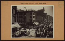
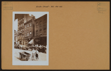
Manhattan: Hester Street - Es…
m
Manhattan: Hester Street - Es…
m
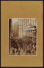
Manhattan: Wall Street
m
Union Square, 14th Street and…
m
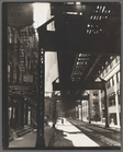
The Elevated at Eighth Avenue…
The Evening Mail's complete m…
Tracts and farms with street …
Carl Schurz Park
Park between 35th and 36th St…
Hagstrom's map of lower New Y…
m
Riverside Park
m
Map of Manhattan showing the …
Block sketch 1679, New York C…
m
Hammond's complete map of New…
Colonial Park
Rand McNally Map of Brooklyn
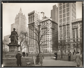
City Hall Park
m
Tentative height districts, M…
m
Tentative use districts, Manh…
Freight terminal map of New Y…
Center of New York, first cit…
Sketch map of the city of New…
Map of the Harlem River and S…
Hammond's new guide map of Ma…
Block line map of the heavy v…
m
Manhattan borough and part of…
m
Rand-McNally standard map of …
m
Stone and Williams Streets
m
Daily News Building, 42nd Str…
Manhattan Bridge, From Bowery…
m
Fifth Avenue Bus, Washington …
m
Radio Row, Cortlandt Street
m
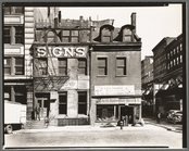
Sumner Healy Antique Shop, 94…
m
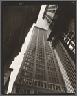
Manhattan Skyline: I, South S…
m
Pine Street: U. S. Treasury i…
m
Court of first model tenement…
m
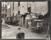
Unemployed and huts, West Hou…
m
Canyon, Broadway and Exchange…
m
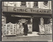
Lyric Theatre, Third Avenue b…
m
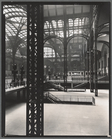
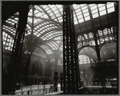
Penn. Station, Interior
m
Herald Square, 34th and Broad…
m
Broadway and Thomas Street
m
Church of God, 25 East 132nd …
m
Manhattan Bridge
m
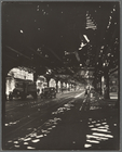
El: 2nd & 3rd Avenue lines, L…
m
Penn. Station, Interior
m
El, Second and Third Avenue l…
m
Madison Square, Looking north…
m
Broome Street, Nos. 504-506
m
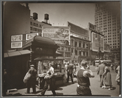
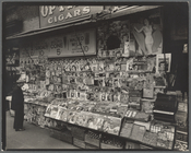
Newsstand, 32nd Street and Th…
1
2
3
4
5
6
7
8
9
10
…
64
65
Previous
Next
1
2
3
4
5
6
7
8
9
10
…
64
65
Previous
Next