Click to visit the main New York Public Library Homepage
The New York Public Library
Digital Collections
About Digital Collections
Browse
Search only public domain materials
Items
Collections
Divisions
Home
Search
Browse
About
Search only public domain materials
Items
Collections
Divisions
Digital Collections
Using Images
Using Data
Search
Filtered search
Show filters
Hide filters
Show Only Public Domain
topic
Real property
783
Fire insurance
383
Cities & towns
360
Administrative and political divisions
177
Railroads
166
More
Less
name
Sanborn Map Company
360
E. Robinson Co
213
Robinson, E. (Elisha)
211
Pidgeon, R. H. (Roger H.)
157
Bromley, George Washington
98
More
Less
collection
Atlases of New York City
734
Maps of North America
546
Atlases of the United States
455
Maps of New York City and State
268
Spezialkarte der Osterreichisch-Ungarischen Monarchie
81
More
Less
place
New York (State)
989
New York
319
New York (N.Y.)
228
Manhattan (New York, N.Y.)
181
Bronx (New York, N.Y.)
110
More
Less
genre
Maps
2125
Atlases
455
Topographic maps
141
Cadastral maps
106
Plans
86
More
Less
publisher
Sanborn Map Company
360
E. Robinson Co
212
G.W. Bromley & Co
97
K.u.K. Militargeographisches Institut
81
C. Wolverton
80
More
Less
division
Map Division
2103
Schomburg Jean Blackwell Hutson Research and Reference Division
14
Manuscripts and Archives Division
7
General Research Division
6
Rare Book Division
4
More
Less
type
x
cartographic
text
32
still image
28
Date Range
to
2,138 results found
Filtering on:
x
Date
: 1887 - 1897
x
Type
: cartographic
Sort by:
Title
Date created
Date digitized
Sequence
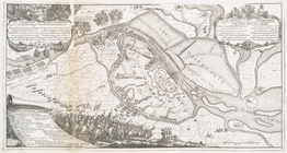
Map of the country thirty thr…
Map of the City of New York a…
The strangers mercantile guid…
Map of the country thirty thr…
Map of the Hackensack & New Y…
Map of the Harlem River and S…
m
New guide map of New York Cit…
m
Manhattan borough and part of…
The Matthews-Northrup up-to-d…
m
Plans for the improvement of …
Plan of Bay Ridge Parkway
Map of the enlarged city of B…
Map of the 23rd and 24th ward…
Proposed site on Staten Islan…
m
Driving road chart of the cou…
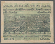
Jamaica, Long Island, N.Y
Bridgman's new map of the Cit…
m
Rand McNally & Co.'s road map…
Map showing the proposed area…
m
Map of the Passaic and Croton…
Map of New York City : showin…
Livingston Heights : Livingto…
m
Topographical map of New York…
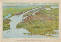
Greater New York : birdseye v…
m
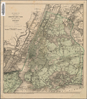
Vicinity of New York
Kiev teperʹ i prezhde
Vid osady Novgoroda iz Videki…
Reisen in Mato Grosso 1887/88
m
Climatic chart of the world :…
Preliminary geologic map of A…
Economic and geologic map of …
Economic and geologic map of …
City railway: route of the ce…
Map showing the boundary of t…
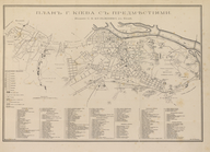
Map of the city of San Jose
Map of the lakes & drives aro…
m
Rand, McNally & Co.'s Minneso…
Rand, McNally & Co.'s Illinoi…
Map of the Rhode Island state…
Gardiner G. Hubbard's subdivi…
A preliminary geological map …
Map showing the distribution …
Map of the extinct Lake Passa…
Map of part of Jersey City, …
1892, Harrison's map of Jerse…
Harrison's map of Jersey City…
m
Map of property at Fairmount…
A map of the town of New-ark …
Rand, McNally & Co.'s New Jer…
Colton's excursion map of Nor…
1
2
3
4
5
6
7
8
9
Previous
Next
1
2
3
4
5
6
7
8
9
Previous
Next