Click to visit the main New York Public Library Homepage
The New York Public Library
Digital Collections
About Digital Collections
Browse
Search only public domain materials
Items
Collections
Divisions
Home
Search
Browse
About
Search only public domain materials
Items
Collections
Divisions
Digital Collections
Using Images
Using Data
Search
Filtered search
Show filters
Hide filters
Show Only Public Domain
topic
Real property
2334
Zoning
226
Railroads
101
Fire insurance
82
Local transit
71
More
Less
name
G.W. Bromley & Co
1566
Ullitz, Hugo
702
E.B. Hyde & Co
514
E. Belcher Hyde Map Company
458
Bromley, George Washington
419
More
Less
collection
Atlases of New York City
2698
Maps of New York City and State
362
New York World's Fair 1939 and 1940 Incorporated records
18
William J. Wilgus papers
5
Robert Moses papers
4
More
Less
place
x
New York
New York (State)
3094
Manhattan (New York, N.Y.)
1589
Brooklyn (New York, N.Y.)
626
New York (N.Y.)
393
More
Less
genre
Maps
3043
Indexes
51
Index maps
41
Pamphlets
35
Plans
18
More
Less
publisher
G.W. Bromley & Co
1517
E. Belcher Hyde
530
E. Robinson Co
119
E.B. Hyde & Co
115
New York (N.Y.). Board of Estimate and Apportionment
111
More
Less
division
Map Division
3060
Manuscripts and Archives Division
29
General Research Division
2
Rare Book Division
2
Dorot Jewish Division
1
More
Less
type
x
cartographic
text
104
still image
5
Date Range
to
3,095 results found
Filtering on:
x
Date
: 1887 - 1966
x
Place
: New York
x
Type
: cartographic
Sort by:
Title
Date created
Date digitized
Sequence
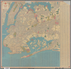
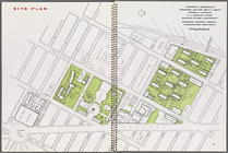
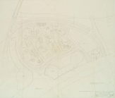
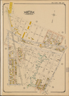
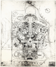
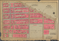
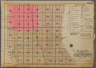
Site plan, [Page 16 and 17]
Map illustrating structures n…
m
Hagstrom's map of Queens N.Y.…
m
Shell street guide of Brookly…
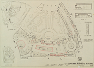
Renting Plan. Consumer Intere…
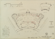
Renting Plan. Shelter Buildin…
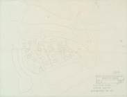
Study for housing development.
Plot plan study. Housing sect…
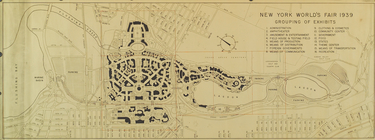
Grouping of Exhibits
Study. Housing section.
[Map bounded by 150th Ave., C…
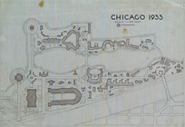
Chicago 1933
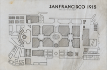
San Francisco 1915
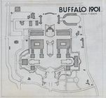
Buffalo 1901
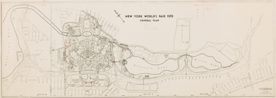
New York World's Fair 1939. G…
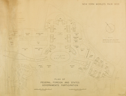
Plan of Federal, Foreign and …
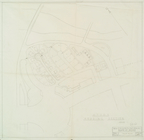
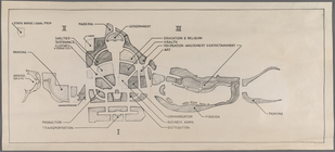
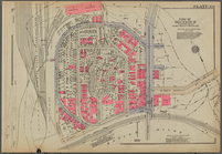
Key map
New York World's Fair 1939. G…
General Plan of the Fair, Sec…
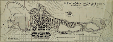
Fairgrounds plan
m
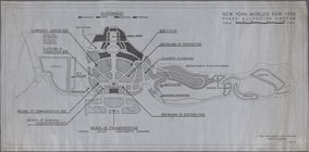
Space Allocation Diagram
m
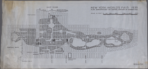
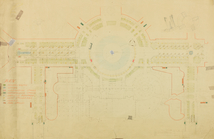
Plan superimposed on central …
m
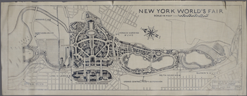
Fairgrounds plan with compass…
m
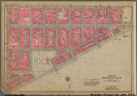
Knickerbocker Village
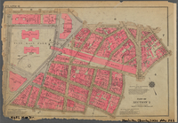
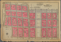
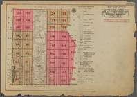
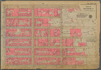
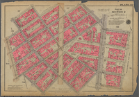
Plate 2, Part of Section 1: […
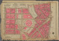
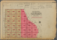
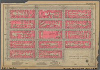
Plate 4, Part of Section 1: […
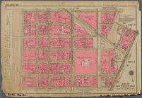
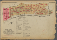
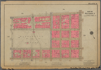
Plate 6, Part of Section 1: […
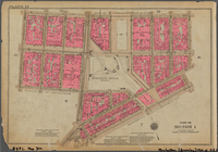
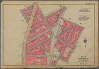
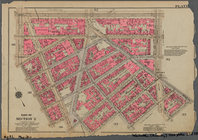
Plate 8, Part of Section 1: […
Plate 10, Part of Sections 1 …
Plate 12, Part of Section 1: …
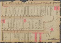
Plate 14, Part of Section 1: …
Plate 16, Part of Sections 1 …
Plate 191, Part of Section 8:…
Plate 18, Part of Sections 1 …
Outline and Index Map of Volu…
Outline and Index Map of Volu…
Outline and Index Map of Volu…
Outline and Index Map of Volu…
Street Index: [Hillside Avenu…
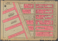
Plate 21, Part of Section 2: …
Plate 23, Part of Section 2: …
Plate 25, Part of Section 2: …
Plate 27, Part of Section 2: …
Plate 29, Part of Section 2: …
Plate 31, Part of Section 2: …
Plate 33, Part of Section 2: …
Plate 35, Part of Section 2: …
Plate 37, Part of Section 2: …
Plate 39: Plan of Hudson Rive…
Plate 41, Part of Section 3: …
1
2
3
4
5
6
7
8
9
10
…
12
13
Previous
Next
1
2
3
4
5
6
7
8
9
10
…
12
13
Previous
Next