Click to visit the main New York Public Library Homepage
The New York Public Library
Digital Collections
About Digital Collections
Browse
Search only public domain materials
Items
Collections
Divisions
Home
Search
Browse
About
Search only public domain materials
Items
Collections
Divisions
Digital Collections
Using Images
Using Data
Search
Filtered search
Show filters
Hide filters
Show Only Public Domain
topic
Real property
8500
Fire insurance
5103
Cities & towns
4998
Maps
361
Railroads
274
More
Less
name
Sanborn Map Company
5093
G.W. Bromley & Co
2391
Bromley, George Washington
797
Bromley, Walter Scott
797
Austro-Hungarian Monarchy. Militärgeographisches Institut
763
More
Less
collection
Atlases of New York City
9621
Atlases of the United States
1621
Maps of New York City and State
847
Spezialkarte der Osterreichisch-Ungarischen Monarchie
763
Maps of North America
702
More
Less
place
New York (State)
9290
New York
3095
Manhattan (New York, N.Y.)
1853
New York (N.Y.)
1740
Brooklyn (New York, N.Y.)
733
More
Less
genre
Maps
13974
Atlases
1607
Topographic maps
977
Cadastral maps
197
Plans
111
More
Less
publisher
Sanborn Map Company
5129
G.W. Bromley & Co
2294
E. Belcher Hyde
780
K.u.K. Militargeographisches Institut
763
E. Robinson Co
249
More
Less
division
Map Division
13622
General Research Division
184
Manuscripts and Archives Division
82
Schomburg Jean Blackwell Hutson Research and Reference Division
71
George Arents Collection
51
More
Less
type
x
cartographic
text
281
still image
121
Date Range
to
14,082 results found
Filtering on:
x
Date
: 1887 - 1975
x
Type
: cartographic
Sort by:
Title
Date created
Date digitized
Sequence
Results 14001 - 14050
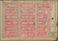
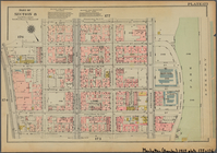
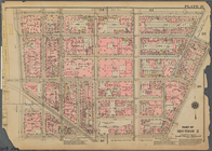
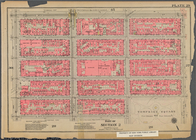
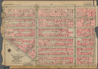
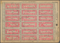
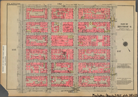
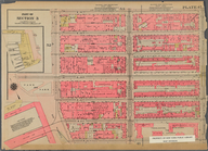
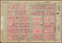
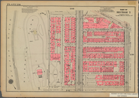
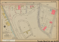
Bounded by E. 53rd Street, (E…
Bounded by W. 65th Street, Am…
Bounded by W. 95th Street, Ce…
Bounded by E. 59th Street, Th…
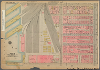
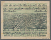
Jamaica, Long Island, N.Y
Map of Brooklyn Manor
Map of Jamaica Fells : fourth…
Map of Elmhurst Square : situ…
Rosedale Square, Rosedale : 4…
Records of searches in relati…
Hollis Terrace addition no. 1…
Topographical map showing str…
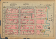
Bounded by W. 189th Street, A…
Map of Morningside Park
City Hall Park
Colonial Park
Park between 35th and 36th St…
Bounded by Jane Street, Washi…
Plan for preservation of Audu…
Bounded by King Street, Macdo…
m
The Blanchard Press correctly…
Bounded by E. 14th Street, Av…
m
Asia Minor and Southeastern E…
Bounded by W. 14th Street, E.…
Guide map to the Brooklyn and…
Map of the borough of Brookly…
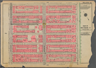
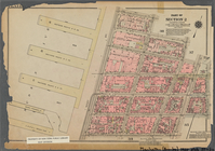
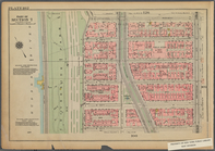
Bounded by E. 83rd Street, Av…
Bounded by East Broadway, Mon…
Bounded by W. 139th Street, A…
Bounded by W. 157th Street, E…
Bounded by W. 145th Street, H…
Bounded by E. 122nd Street, S…
Bounded by E. 42nd Street, (E…
Map of 272 lots in the 30th w…
Williams' map of Borough of B…
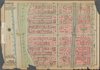
Bounded by Cathedral Parkway,…
Bush Terminal, map showing bu…
Bounded by W. 89th Street, Am…
m
Street guide of Manhattan and…
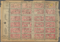
Bounded by W. 26th Street, Ni…
Bounded by E. 71st Street, Th…
Bounded by Tiemann Place, W. …
Bounded by Dyckman Street, Sh…
m
Borough of Manhattan, 300 foo…
[Pequot War battle sites], fr…
Bounded by W. 47th Street, Br…
East River Heights, first war…
Railroad suburbs between Holl…
m
King's birds-eye view of Broo…
Map of Jamaica in the 4th war…
1
2
…
48
49
50
51
52
53
54
55
56
57
Previous
Next
1
2
…
48
49
50
51
52
53
54
55
56
57
Previous
Next