Click to visit the main New York Public Library Homepage
The New York Public Library
Digital Collections
About Digital Collections
Browse
Search only public domain materials
Items
Collections
Divisions
Home
Search
Browse
About
Search only public domain materials
Items
Collections
Divisions
Digital Collections
Using Images
Using Data
Search
Filtered search
Show filters
Hide filters
Show Only Public Domain
topic
Real property
112
Railroads
8
Railroads, Elevated
8
Streets
8
Administrative and political divisions
5
More
Less
name
E.B. Hyde & Co
76
Ullitz, Hugo
76
E. Robinson Co
33
F. Bourquin & Co
33
Mueller, A. H. (August H.)
33
More
Less
collection
Atlases of New York City
109
Maps of New York City and State
30
place
x
Brooklyn (New York, N.Y.)
New York (State)
131
New York
130
New York (N.Y.)
4
Bensonhurst (New York, N.Y.)
3
More
Less
genre
x
Maps
Cadastral maps
4
Manuscript maps
2
Aerial views
1
Indexes
1
publisher
E.B. Hyde & Co
76
E. Robinson Co
33
publisher not identified
5
Laine & Healy
3
Brooklyn Daily Eagle
2
More
Less
division
Map Division
139
type
cartographic
139
still image
1
text
1
Date Range
to
139 results found
Filtering on:
x
Date
: 1888 - 1898
x
Genre
: Maps
x
Place
: Brooklyn (New York, N.Y.)
Sort by:
Title
Date created
Date digitized
Sequence
m
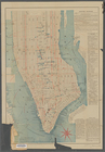
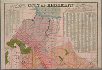
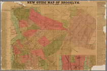
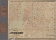
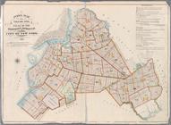
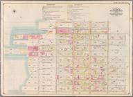
New guide map of New York Cit…
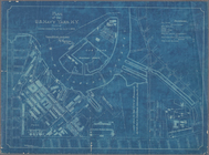
Plan of Bay Ridge Parkway
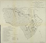
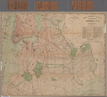
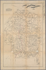
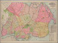
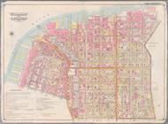
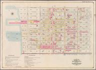
Map of the enlarged city of B…
m
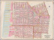
New York City elevated railro…
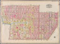
Rand, McNally & Co.'s map of …
Map of Newtown Creek and vici…
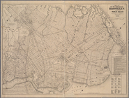
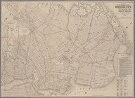
Map of the borough of Brookly…
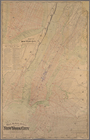
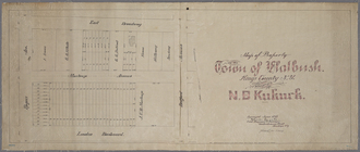
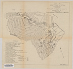
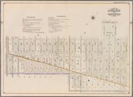
Map of property in the town o…
Index map to Bensonhurst-by-t…
m
Map of the enlarged city of B…
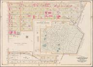
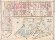
Green-Wood Cemetery
m
Colton's new indexed map of t…
Rand McNally & Co.'s new hand…
Map of property belonging to …
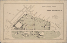
University Park, Brooklyn, N.…
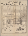
Map of sewer district of Bath…
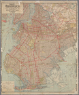
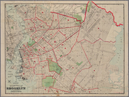
Guide map of Brooklyn, Kings …
m
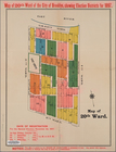
20th ward.
Handy map of Brooklyn showing…
Plan of the U. S. Navy Yard, …
m
The Green-Wood cemetery 1897
Map of Newtown Creek and vici…
Guide map of the borough of B…
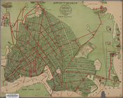
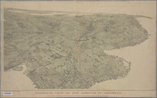
Bird's-eye view of the boroug…
m
New guide map of Brooklyn.
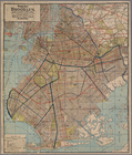
Map of the city of Brooklyn
m
Map of the enlarged city of B…
Index map to Bensonhurst-by-t…
m
Rand, McNally & Co.'s map of …
Map of the enlarged city of B…
Index to Streets. Kanu Place …
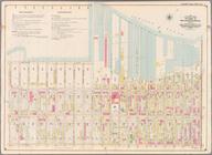
Index Map to Volume One. Atla…
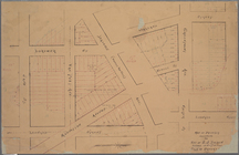
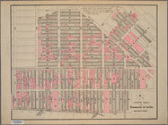
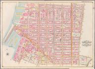
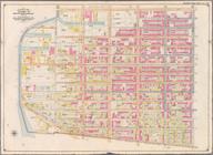
Bounded by Marshall St., Litt…
Bounded by Clark St., Fulton …
Bounded by Smith St., Bergen …
Bounded by Baltic St., Court …
Bounded by Ostego St., Dwight…
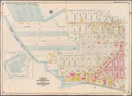
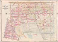
Bounded by (Buttermilk Channe…
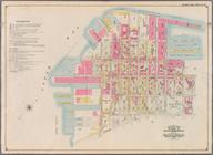
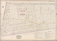
Bounded by Second Ave., Twent…
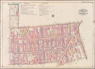
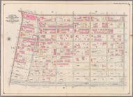
Bounded by Thirty Seventh St.…
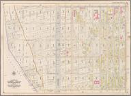
Bounded by Forty Ninth St., S…
Bounded by Sixth Ave., Thirty…
Bounded by Prospect Avenue, E…
Bounded by Third Street, Seve…
Bounded by Seventh Avenue, Ca…
Bounded by (Gowanus Canal) Th…
Bounded by Atlantic Avenue, F…
Bounded by Eastern Parkway, A…
Bounded by Atlantic Avenue, A…
Bounded by Albany Avenue, Atl…