Click to visit the main New York Public Library Homepage
The New York Public Library
Digital Collections
About Digital Collections
Browse
Search only public domain materials
Items
Collections
Divisions
Home
Search
Browse
About
Search only public domain materials
Items
Collections
Divisions
Digital Collections
Using Images
Using Data
Search
Filtered search
Show filters
Hide filters
Show Only Public Domain
topic
Real property
901
Cities & towns
451
Fire insurance
451
Railroads
66
Administrative and political divisions
43
More
Less
name
Sanborn Map Company
451
Robinson, E. (Elisha)
158
Bromley, George Washington
135
Bromley, Walter Scott
135
G.W. Bromley & Co
135
More
Less
collection
Atlases of New York City
781
Maps of New York City and State
223
Atlases of the United States
194
Maps of North America
4
Series of advertising cards issued by Arbuckle Bros. Coffee Company, each consisting of a map of a United States state or territory with related illustrations
1
place
x
New York (State)
New York
437
Manhattan (New York, N.Y.)
192
New York (N.Y.)
150
Brooklyn (New York, N.Y.)
131
More
Less
genre
x
Maps
Atlases
194
Cadastral maps
36
Road maps
16
Geological maps
13
More
Less
publisher
Sanborn Map Company
451
G.W. Bromley & Co
135
E. Robinson Co
119
E.B. Hyde & Co
76
Watson & co
53
More
Less
division
Map Division
1202
Manuscripts and Archives Division
1
type
cartographic
1202
text
6
still image
3
Date Range
to
1,203 results found
Filtering on:
x
Date
: 1888 - 1898
x
Genre
: Maps
x
Place
: New York (State)
Sort by:
Title
Date created
Date digitized
Sequence
Results 501 - 550
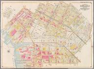
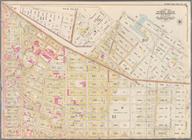
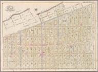
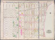
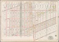
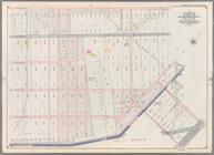
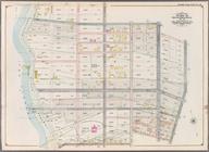
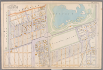
Bounded by Manhattan Avenue, …
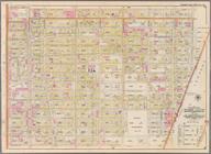
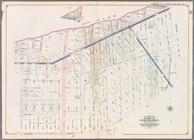
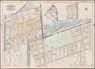
Bounded by (New Town Creek) C…
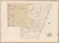
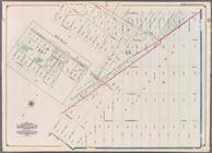
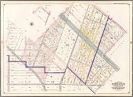
Bounded by (East River Piers)…
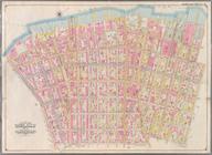
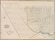
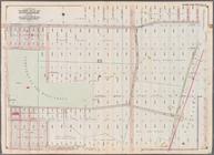
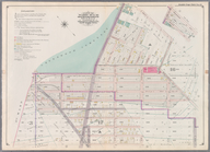
Bounded by Meserole Avenue, F…
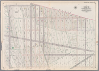
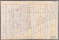
Bounded by Ten Eyck Street, B…
Bounded by Flushing Avenue, M…
Bounded by Dekalb Avenue, Cyp…
Bounded by Cornelia Street, I…
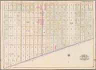
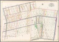
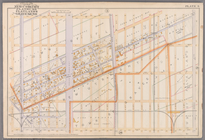
Bounded by Livonia Avenue, Ho…
Bounded by Jamaica Avenue, Mi…
Bounded by Pitkin Avenue, Ber…
Bounded by Dresden Street, Fo…
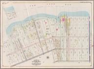
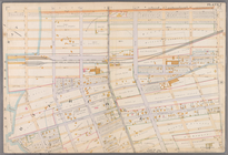
Bounded by Atlantic Avenue, E…
Bounded by Dumont Avenue, Sap…
Bounded by Fountain Avenue, V…
Bounded by Barbey Street, Van…
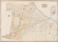
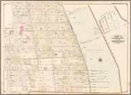
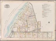
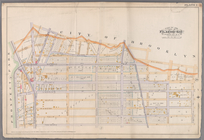
Index Map to Volume Two. Atla…
Bounded by Nostrand Avenue, M…
Bounded by Montgomery Street,…
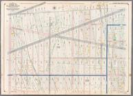
Bounded by East 45th Street, …
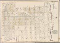
Bounded by Church Avenue, Lin…
Bounded by Avenue D, East 53r…
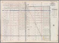
Bounded by Avenue D, Nostrand…
Bounded by Martense Street, N…
Bounded by Ocean Avenue, Flat…
Bounded by Eleventh Avenue, C…
Bounded by Albemarle Road (Av…
Bounded by West Street, Ditma…
Bounded by 37th Street, Fort …
Bounded by Seventeenth Avenue…
Bounded by Twelfth Avenue, 45…
Bounded by Seventh Avenue, 60…
Bounded by Second Avenue, Sen…
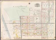
Bounded by (Proposed Bay Ridg…
Bounded by 77th Street, Secon…
Bounded by 92nd Street, Third…
Bounded by Fifth Avenue, Stew…
Bounded by 66th Street, Seven…
Bounded by Eighteenth Avenue,…
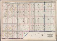
Bounded by (U.S. Government R…
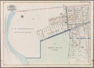
Bounded by (Dyker Beach Park)…
Bounded by 81st Street, Eight…
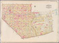
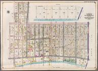
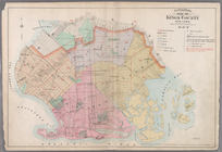
Outline & Index Map Kings Cou…
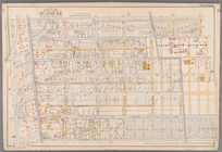
Plate 1: [Bounded by Montgome…
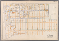
Plate 2: [Bounded by Fenimore…
Plate 3: [Bounded by Grant St…
Plate 4:[Bounded by Terrace P…
Plate 5: [Bounded by Avenue A…
Plate 6: [Bounded by Avenue E…
Plate 7: [Bounded by 60th Str…
1
2
3
4
5
Previous
Next
1
2
3
4
5
Previous
Next