Click to visit the main New York Public Library Homepage
The New York Public Library
Digital Collections
About Digital Collections
Browse
Search only public domain materials
Items
Collections
Divisions
Home
Search
Browse
About
Search only public domain materials
Items
Collections
Divisions
Digital Collections
Using Images
Using Data
Search
Filtered search
Show filters
Hide filters
Show Only Public Domain
topic
Parks
145
Real property
94
Sculpture
62
Street-railroads
61
Hotels
56
More
Less
name
E. Robinson Co
120
Pidgeon, R. H. (Roger H.)
119
Robinson, E. (Elisha)
119
Langill, C. C
60
Gray, William, active approximately 1890-1900
56
More
Less
collection
Photographic views of New York City, 1870's-1970's, from the collections of the New York Public Library
409
Robert N. Dennis collection of stereoscopic views
212
Scrapbooks of New York City views
138
Atlases of New York City
119
Wallach Division Picture Collection
92
More
Less
place
x
New York (N.Y.)
New York (State)
759
New York
627
Manhattan (New York, N.Y.)
480
Central Park (New York, N.Y.)
106
More
Less
genre
Photographs
832
Stereographs
213
Maps
196
Prints
61
Clippings
47
More
Less
publisher
E. Robinson Co
119
Julius Bien & Co
15
Strohmeyer & Wyman
15
Alfred S. Campbell
14
B. W. Kilburn
11
More
Less
division
Milstein Division
575
Wallach Division: Photography Collection
268
Map Division
199
Wallach Division: Picture Collection
85
Manuscripts and Archives Division
45
More
Less
type
still image
1017
cartographic
197
text
26
notated music
23
Date Range
to
1,256 results found
Filtering on:
x
Date
: 1889 - 1897
x
Place
: New York (N.Y.)
Sort by:
Title
Date created
Date digitized
Sequence
Results 751 - 800
m
Rand, McNally & Co.'s map of …
Geographically correct map of…
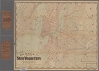
Map of New York City
m
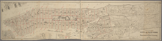
Map of the city of New York :…
m
Proposed extension of Convent…
Colton's map of the city of N…
Map of the street railway run…
m
Guide-map of New York City
m
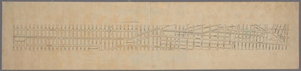
Part of Wards 1, 2, 3, 4, 5 &…
m
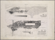
The Tenement-House Committee …
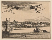
Novum Amsterodamum.
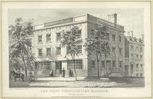
The first presidential mansio…
New York in 1768 from the rea…
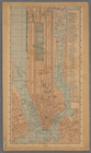
New York
New York in 1768
[South of 14th Street] Part o…
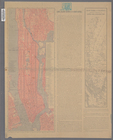
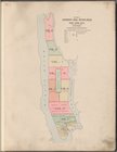
Outline of Robinson's Real Es…
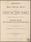
Robinsons Real Estate Atlas o…
Key and Index
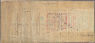
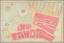
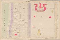
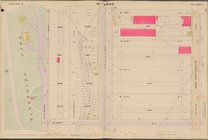
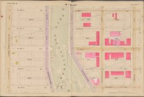
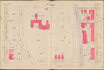
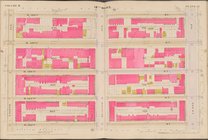
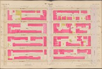
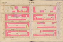
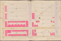
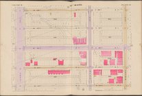
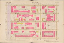
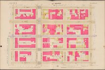
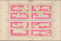
Map bounded by 10th Ave., W. …
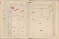
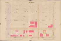
Map bounded by W. 122nd St., …
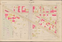
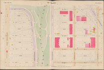
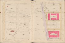
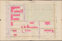
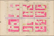
Map bounded by W. 126th St., …
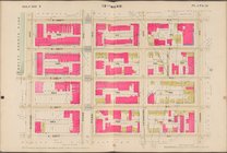
Map bounded by W. 130th St., …
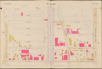
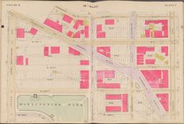
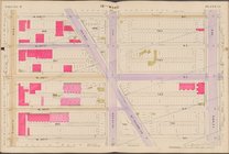
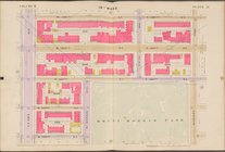
Map bounded by W. 134th St., …
Map bounded by W. 138th St., …
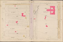
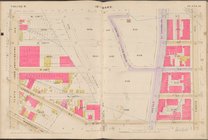
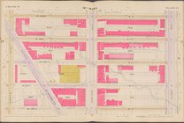
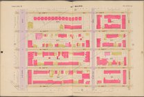
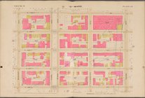
Map bounded by W. 118th St., …
Map bounded by W. 122nd St., …
Map bounded by W. 126th St., …
Map bounded by W. 130th St., …
Map bounded by W. 134th St., …
Map bounded by W. 138th St., …
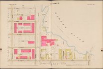
Map bounded by W. 118th St., …
Map bounded by W. 122nd St., …
Map bounded by W. 126th St., …
Map bounded by W. 130th St., …
Map bounded by W. 134th St., …
Map bounded by W. 138th St., …
Map bounded by E. 118th St., …
Map bounded by W. 122nd St., …
Map bounded by W. 126th St., …
Map bounded by W. 130th St., …
Map bounded by W. 134th St., …
Map bounded by W. 138th St., …
Map bounded by E. 118th St., …
Map bounded by E. 122nd St., …
Map bounded by E. 126th St., …
Map bounded by E. 130th St., …
Map bounded by E. 134th St., …
Map bounded by E. 138th St., …
Map bounded by E. 118th St., …
1
2
3
4
5
6
Previous
Next
1
2
3
4
5
6
Previous
Next