Click to visit the main New York Public Library Homepage
The New York Public Library
Digital Collections
About Digital Collections
Browse
Search only public domain materials
Items
Collections
Divisions
Home
Search
Browse
About
Search only public domain materials
Items
Collections
Divisions
Digital Collections
Using Images
Using Data
Search
Filtered search
Show filters
Hide filters
Show Only Public Domain
topic
Real property
45
Local transit
10
Piers
8
Railroads
8
City planning
6
More
Less
name
E. Robinson Co
43
Pidgeon, R. H. (Roger H.)
43
Robinson, E. (Elisha)
43
Julius Bien & Co
16
Bien, Julius, 1826-1909
15
More
Less
collection
Atlases of New York City
43
Maps of New York City and State
23
Atlases of the United States
15
place
x
New York (N.Y.)
New York (State)
66
New York
60
Manhattan (New York, N.Y.)
19
New York Metropolitan Area
16
More
Less
genre
Maps
80
Atlases
15
Topographic maps
15
Cadastral maps
4
Aerial views
1
More
Less
publisher
E. Robinson Co
43
Julius Bien & Co
15
G.W. & C.B. Colton & Co
3
The Company
2
American Photo-Eng. Co
1
More
Less
division
x
Map Division
type
cartographic
80
text
2
Date Range
to
81 results found
Filtering on:
x
Date
: 1890 - 1892
x
Division
: Map Division
x
Place
: New York (N.Y.)
Sort by:
Title
Date created
Date digitized
Sequence
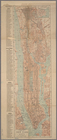
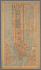
Map of the City of New York a…
Map of the Harlem River and S…
m
New guide map of New York Cit…
m
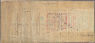
Plans for the improvement of …
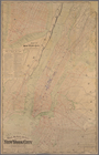
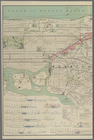
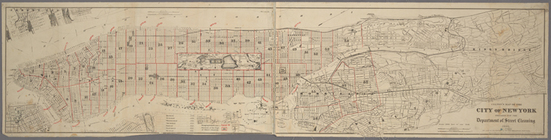
Map of New York City : showin…
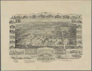
National Prohibition Park, St…
Map of New York City: prepare…
Map showing the relative posi…
Mulberry Bend District. Map b…
Map of New York City
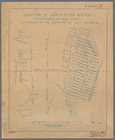
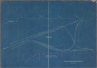
Location of North River Bridg…
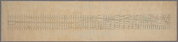
Plan showing changes in West …
Rand, McNally & Co.'s map of …
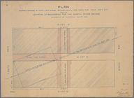
Plan of the tracks under Unio…
m
Map of New York City from Bat…
m
Map of the Harlem River and S…
Geographically correct map of…
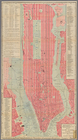
Map of New York City
m
Map of the city of New York :…
m
Proposed extension of Convent…
Colton's map of the city of N…
Map of the street railway run…
m
Guide-map of New York City
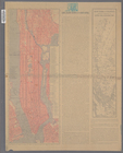
Outline of Robinson's Real Es…
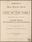
Robinsons Real Estate Atlas o…
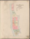
Key and Index
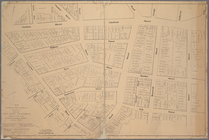
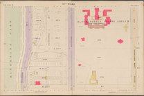
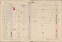
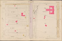
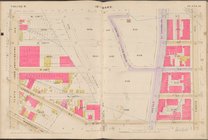
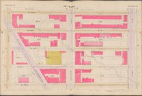
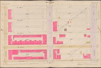
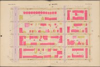
Map bounded by 10th Ave., W. …
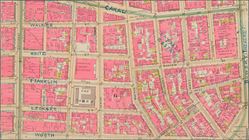
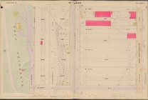
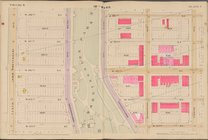
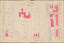
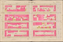
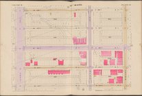
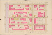
Map bounded by W. 122nd St., …
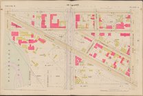
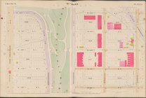
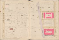
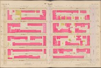
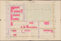
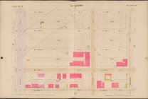
Map bounded by W. 126th St., …
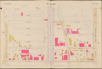
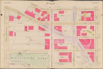
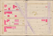
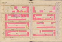
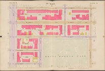
Map bounded by W. 130th St., …
Map bounded by W. 134th St., …
Map bounded by W. 138th St., …
Map bounded by W. 118th St., …
Map bounded by W. 122nd St., …
Map bounded by W. 126th St., …
Map bounded by W. 130th St., …
Map bounded by W. 134th St., …
Map bounded by W. 138th St., …
Map bounded by W. 118th St., …
Map bounded by W. 122nd St., …
Map bounded by W. 126th St., …
Map bounded by W. 130th St., …
Map bounded by W. 134th St., …
Map bounded by W. 138th St., …
Map bounded by E. 118th St., …
Map bounded by W. 122nd St., …
Map bounded by W. 126th St., …
Map bounded by W. 130th St., …
Map bounded by W. 134th St., …
Map bounded by W. 138th St., …