Click to visit the main New York Public Library Homepage
The New York Public Library
Digital Collections
About Digital Collections
Browse
Search only public domain materials
Items
Collections
Divisions
Home
Search
Browse
About
Search only public domain materials
Items
Collections
Divisions
Digital Collections
Using Images
Using Data
Search
Filtered search
Show filters
Hide filters
Show Only Public Domain
topic
x
Real property
Cities & towns
460
Fire insurance
460
Landowners
33
Administrative and political divisions
16
More
Less
name
Sanborn Map Company
460
Bromley, George Washington
141
G.W. Bromley & Co
141
Bromley, Walter Scott
140
E.B. Hyde & Co
81
More
Less
collection
Atlases of New York City
759
Maps of North America
63
Atlases of the United States
39
Maps of New York City and State
29
place
New York (State)
827
New York
307
Manhattan (New York, N.Y.)
144
Brooklyn (New York, N.Y.)
116
New York (N.Y.)
47
More
Less
genre
Maps
868
Cadastral maps
70
Atlases
39
Indexes
14
Title pages
11
More
Less
publisher
Sanborn Map Company
460
G.W. Bromley & Co
141
E.B. Hyde & Co
81
E. Robinson Co
77
G.M. Hopkins
39
More
Less
division
Map Division
890
type
cartographic
875
text
28
still image
3
Date Range
to
890 results found
Filtering on:
x
Date
: 1890 - 1898
x
Topic
: Real property
Sort by:
Title
Date created
Date digitized
Sequence
Results 251 - 300
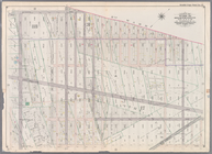
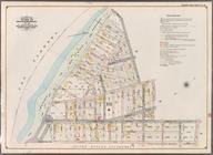
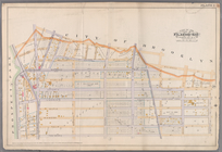
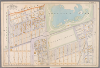
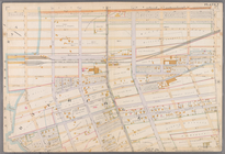
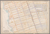
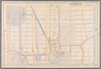
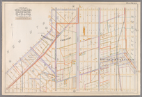
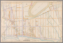
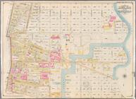
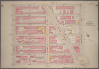
Bounded by Seventh Avenue, 60…
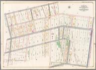
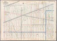
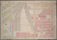
Bounded by Second Avenue, Sen…
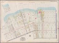
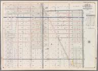
Bounded by (Proposed Bay Ridg…
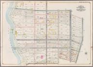
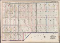
Bounded by 77th Street, Secon…
Bounded by 92nd Street, Third…
Bounded by Fifth Avenue, Stew…
Bounded by 66th Street, Seven…
Bounded by Eighteenth Avenue,…
Bounded by (U.S. Government R…
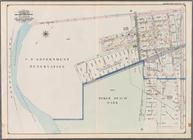
Bounded by (Dyker Beach Park)…
Bounded by 81st Street, Eight…
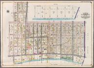
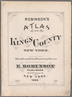
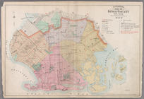
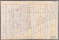
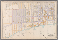
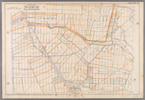
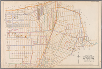
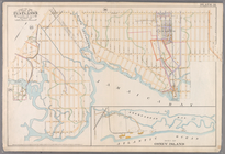
Robinson's atlas of Kings Cou…
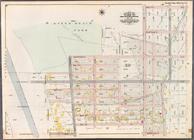
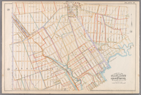
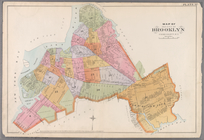
Outline & Index Map Kings Cou…
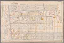
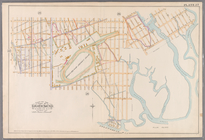
Plate 1: [Bounded by Montgome…
Plate 2: [Bounded by Fenimore…
Plate 3: [Bounded by Grant St…
Plate 4:[Bounded by Terrace P…
Plate 5: [Bounded by Avenue A…
Plate 6: [Bounded by Avenue E…
Plate 7: [Bounded by 60th Str…
Plate 8: [Bounded by Mackay P…
Plate 9: [Bounded by 85th Str…
Plate 10: [Bounded by 72nd St…
Plate 11: [Bounded by 58th St…
Plate 12: [Bounded by 4rd Str…
Plate 13: [Bounded by West St…
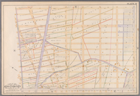
Plate 14: [Bounded by 39th St…
Plate 15: [Bounded by 58th St…
Plate 16: [Bounded by 72nd St…
Plate 17: [Bounded by 86th St…
Plate 18:[Bounded by 86th Str…
Plate 19: [Bounded by 72nd St…
Plate 20: [Bounded by Bay 46t…
Plate 21: [Bounded by Canal A…
Plate 22: [Bounded by Avenue …
Plate23: [Bounded by Avenue P…
Plate 24: [Bounded by Avenue …
Plate 25: Bounded by Avenue C…
Plate 26: [Bounded by Avenue …
Plate 27: [Bounded by Avenue …
Plate 28: [Bounded by Avenue …
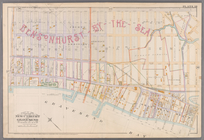
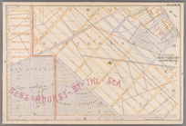
Plate 29: [Bounded by Malbone…
Plate 30: [Bounded by Ditmas …
Plate 31: [Bounded by Avenue …
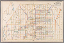
Plate 32: Map of the City of …
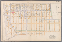
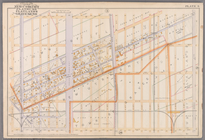
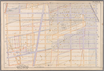
Bounded by Richardson Street,…
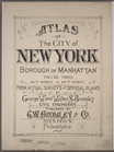
Atlas of the city of New York…
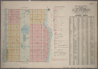
Outline & Index Map of Volume…
Plate 1, Part 1 of Section 4:…
Plate 2, Part of Section 4: […
1
2
3
4
Previous
Next
1
2
3
4
Previous
Next