Click to visit the main New York Public Library Homepage
The New York Public Library
Digital Collections
About Digital Collections
Browse
Search only public domain materials
Items
Collections
Divisions
Home
Search
Browse
About
Search only public domain materials
Items
Collections
Divisions
Digital Collections
Using Images
Using Data
Search
Filtered search
Show filters
Hide filters
Show Only Public Domain
topic
Real property
87
Local transit
41
Railroads
34
Piers
27
Administrative and political divisions
20
More
Less
name
E. Robinson Co
109
Pidgeon, R. H. (Roger H.)
108
Robinson, E. (Elisha)
108
Julius Bien & Co
16
Bien, Julius, 1826-1909
15
More
Less
collection
Atlases of New York City
236
Maps of New York City and State
121
Atlases of the United States
15
I. N. Phelps Stokes Collection of American Historical Prints
2
Cartographic materials from the Emmet collection of manuscripts etc. relating to American history
1
More
Less
place
x
New York (N.Y.)
New York (State)
186
New York
139
Manhattan (New York, N.Y.)
97
Staten Island (New York, N.Y.)
39
More
Less
genre
x
Maps
Topographic maps
17
Manuscript maps
16
Atlases
15
Cadastral maps
8
More
Less
publisher
Sanborn Map Company
128
E. Robinson Co
108
Julius Bien & Co
15
publisher not identified
9
Rand, McNally & Co
8
More
Less
division
Map Division
373
Manuscripts and Archives Division
2
Wallach Division: Print Collection
2
type
cartographic
377
text
2
still image
1
Date Range
to
377 results found
Filtering on:
x
Date
: 1890 - 1907
x
Genre
: Maps
x
Place
: New York (N.Y.)
Sort by:
Title
Date created
Date digitized
Sequence
m
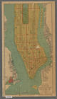
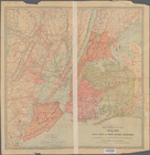
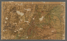
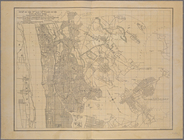
Map of Brooklyn
Guide map to the Brooklyn and…
m
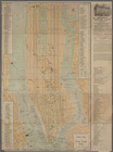
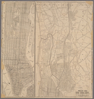
View of the city of New York …
m
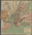
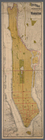
Map of New York City : showin…
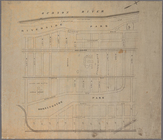
Freight terminal map of New Y…
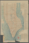
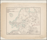
Center of New York, first cit…
Map of the City of New York a…
Map of the Harlem River and S…
m
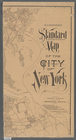
New guide map of New York Cit…
The Merchants' Association's …
m
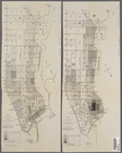
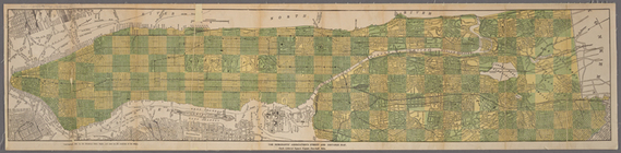
Manhattan borough and part of…
m
Rand-McNally standard map of …
m
Map of New York : showing Leh…
The Matthews-Northrup up-to-d…
m
Plans for the improvement of …
Map of the 23rd and 24th ward…
Mapa de la ciudad de Nueva Yo…
m
Map of the underground railwa…
Bridgman's new map of the Cit…
Map of New York City : showin…
Map of portion of greater New…
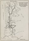
The subway problem: map of in…
Map of Brooklyn during the Ba…
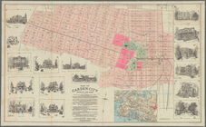
Map of Garden City, Queens Co…
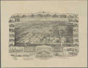
National Prohibition Park, St…
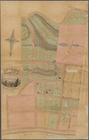
Map of property at New Bright…
A chart of the bar of Sandy H…
m
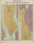
1906 Library map of Manhattan…
m
New map of the borough of Man…
Map of the 23rd and 24th ward…
m
Map of New York City : showin…
Map of New York City
Map of New York City between …
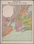
Map of greater New York
Map of the borough of Manhatt…
m
Map of New York City ("greate…
Map No. II New York
Manhattan borough and part of…
m
New York City elevated railro…
Map of New York City: prepare…
m
Map of New York City: showing…
m
Map of New York City (Manhatt…
The heart of greater New York…
Map of New York City between …
Map or plan showing the stree…
Public parks boroughs of Manh…
m
Rand-McNally standard map of …
m
Map[s] to accompany report "T…
m
The Bridgman's new map of the…
m
Hammond's standard map of the…
1
2
Previous
Next
1
2
Previous
Next