Click to visit the main New York Public Library Homepage
The New York Public Library
Digital Collections
About Digital Collections
Browse
Search only public domain materials
Items
Collections
Divisions
Home
Search
Browse
About
Search only public domain materials
Items
Collections
Divisions
Digital Collections
Using Images
Using Data
Search
Filtered search
Show filters
Hide filters
Show Only Public Domain
topic
Real property
50
Carriages & coaches
3
Carts & wagons
3
Local transit
3
Piers
3
More
Less
name
Bromley, George Washington
49
Bromley, Walter Scott
49
G.W. Bromley & Co
49
Barker, George, 1844-1894
3
Ewing Galloway (Agency)
3
More
Less
collection
Atlases of New York City
49
Photographic views of New York City, 1870's-1970's, from the collections of the New York Public Library
11
Maps of New York City and State
7
Robert N. Dennis collection of stereoscopic views
3
place
x
Manhattan (New York, N.Y.)
New York
65
New York (State)
65
New York (N.Y.)
21
Central Park (New York, N.Y.)
3
More
Less
genre
Maps
54
Photographs
14
Stereographs
3
Index maps
2
Indexes
2
More
Less
publisher
G.W. Bromley & Co
49
Strohmeyer & Wyman
2
E.F. Fisk
1
Hunt & Eaton
1
J. McIntyre Smith
1
More
Less
division
Map Division
56
Milstein Division
11
Wallach Division: Photography Collection
3
type
cartographic
55
still image
14
text
3
Date Range
to
70 results found
Filtering on:
x
Date
: 1891 - 1891
x
Place
: Manhattan (New York, N.Y.)
Sort by:
Title
Date created
Date digitized
Sequence
Map of New York City : showin…
m
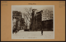
Manhattan: Astor Place - Lafa…
m
Manhattan: 2nd Avenue - 34th …
m
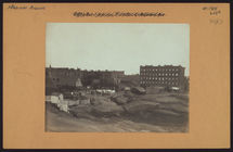
Manhattan: Amsterdam Avenue -…
m
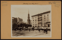
Manhattan: Broadway - Battery…
m
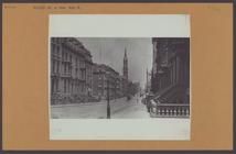
Manhattan: Broadway - Vesey S…
m
Manhattan: Madison Avenue - 4…
m
Manhattan: Madison Avenue - 1…
m
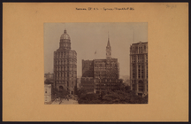
Manhattan: Nassau Street - Sp…
m
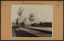
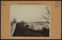
Manhattan: Riverside Drive - …
m
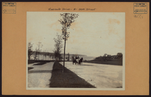
Manhattan: Riverside Drive - …
m
Manhattan: Riverside Drive - …
Map of New York City
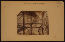
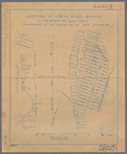
Location of North River Bridg…
Plan showing changes in West …
Rand, McNally & Co.'s map of …
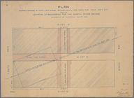
Plan of the tracks under Unio…
m
Map of New York City from Bat…
Outline and Index map of New …
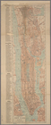
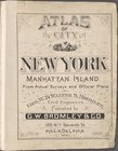
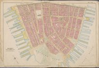
Atlas of city of New York Man…
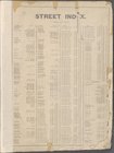
Street Index
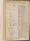
Block Index
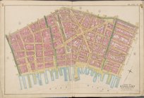
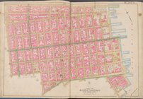
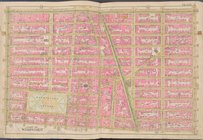
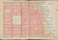
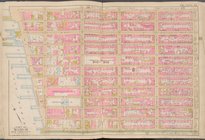
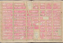
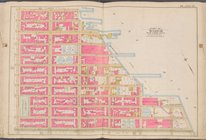
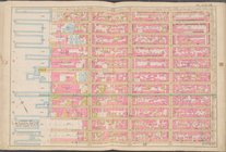
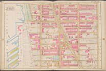
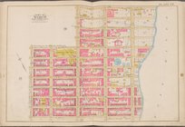
Map bounded by Liberty St., M…
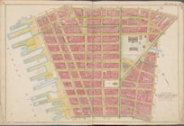
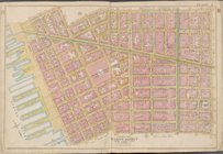
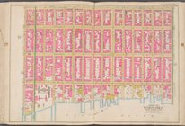
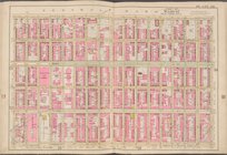
Map bounded by Jay St., Thoma…
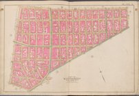
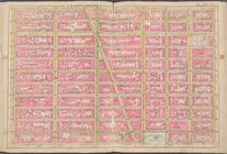
Map bounded by William St., P…
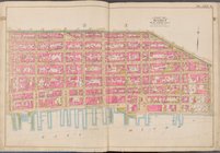
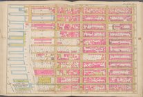
Map bounded by Spring St., Br…
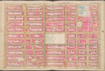
Map bounded by Broome St., Di…
Map bounded by Division St., …
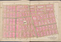
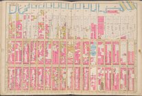
Map bounded by E. 3rd St., Ea…
Map bounded by W. 3rd St., E.…
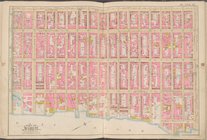
Map bounded by Charles St., W…
Map bounded by W. 14th St., 6…
Map bounded by E. 14th St., 1…
Map bounded by E. 14th St., E…
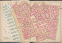
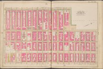
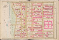
Map bounded by W. 25th St., 7…
Map bounded by W. 25th St., 2…
Map bounded by E. 25th St., E…
Map bounded by Lexington Ave.…
Map bounded by E. 36th St., L…
Map bounded by W. 36th St., 8…
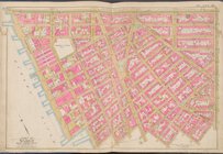
Map bounded by W. 47th St., 8…
Map bounded by W. 47th St., L…
Map bounded by Lexington Ave.…
Map bounded by 6th Ave., E. 6…
Map bounded by 9th Ave., W. 5…
Map bounded by Hudson River, …
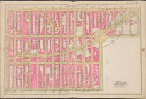
Map bounded by W. 75th St., C…
Map bounded by W. 86th St., C…
Map bounded by E. 68th St., E…
Map bounded by 5th Ave., E. 8…