Click to visit the main New York Public Library Homepage
The New York Public Library
Digital Collections
About Digital Collections
Browse
Search only public domain materials
Items
Collections
Divisions
Home
Search
Browse
About
Search only public domain materials
Items
Collections
Divisions
Digital Collections
Using Images
Using Data
Search
Filtered search
Show filters
Hide filters
Show Only Public Domain
topic
x
Streets
Street photography
28555
Buildings, structures, etc
3232
Documentary photography
3122
Doors
3122
More
Less
name
Stone, Dylan, 1967-
25428
Colmer, Roy, 1935-2014
3122
Federal Art Project (New York, N.Y.)
397
Abbott, Berenice, 1898-1991
396
Rosenfeld, Morris, 1884-1968
258
More
Less
collection
Drugstore Photographs, Or, A Trip Along the Yangtze River, 1999, by Dylan Stone
25428
Doors, NYC
3122
Changing New York
396
Morris Rosenfeld Photographs
258
Photographic views of New York City, 1870's-1970's, from the collections of the New York Public Library
173
More
Less
place
x
New York (State)
New York (N.Y.)
29765
New York
29675
Manhattan (New York, N.Y.)
26295
Broadway (New York, N.Y.)
336
More
Less
genre
Photographs
29792
Stereographs
140
Prints
101
Illustrations
94
Postcards
42
More
Less
publisher
Mail & Express
94
Detroit Publishing Company
28
L. H. Nelson Company
4
Board of Public Improvements, Topographical Bureau
3
Published by E. & H.T. Anthony & Co
3
More
Less
division
Wallach Division: Photography Collection
29194
Milstein Division
685
Wallach Division: Picture Collection
61
Map Division
37
NYPL Archives
12
More
Less
type
still image
29985
cartographic
38
text
9
Date Range
to
30,024 results found
Filtering on:
x
Date
: 1896 - 2000
x
Place
: New York (State)
x
Topic
: Streets
Sort by:
Title
Date created
Date digitized
Sequence
m
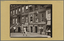
146 Cherry Street in the "Lun…
m
Corner of Cherry Street and M…
m
Youth Learning to Gamble on C…
m
Cherry Street Near Market Sli…
m
One of our Tenants on Catheri…
m
Shutters of Steel: Third Aven…
m
Bowery, North of Grand Street…
m
The Elevated at Eighth Avenue…
Records of searches in relati…
m
Hammond's complete map of Bro…
Hagstrom's map of lower New Y…
m
Hammond's complete map of New…
Map showing proposed extensio…
m
Map of the borough of Brookly…
Brooklyn and vicinity
Rand McNally Map of Brooklyn
Map of Bayside, third ward, b…
m
New quick reference street in…
Topographical map showing str…
m
Hammond's complete map of Bro…
Rand McNally & Co.'s new hand…
m
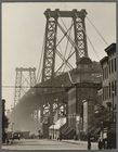
Williamsburg Bridge, South Ei…
m
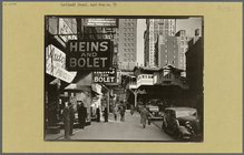
Radio Row, Cortlandt Street
m
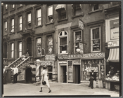
Harlem Street: II, 422-424 Le…
m
Allen Street, #55-57
m
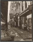
Charles Lane, Between West an…
m
Talman Street, Between Jay an…
m
Herald Square, 34th and Broad…
m
Broadway and Thomas Street
m
El: 2nd & 3rd Avenue lines, L…
m
Broome Street, Nos. 504-506
m
Broadway near Broome Street
Williams' map of boroughs of …
m
Borough of Manhattan, 300 foo…
m
Street guide of Manhattan and…
m
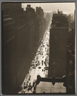
Tempo of the City: I, Fifth A…
m
Harlem Street: II, 422-424 Le…
m
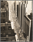
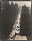
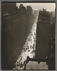
Seventh Avenue looking north …
m
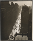
Seventh Avenue looking north …
m
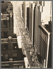
Seventh Avenue looking south …
m
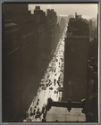
Seventh Avenue looking south …
m
Seventh Avenue looking south …
m
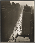
Seventh Avenue looking north …
m
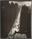
Seventh Avenue looking south …
m
Seventh Avenue looking south …
m
Seventh Avenue looking south …
m
Seventh Avenue looking south …
m
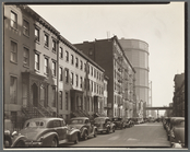
20th Street between Second an…
m
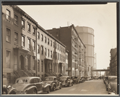
20th Street between Second an…
m
20th Street between Second an…
1
2
3
4
5
6
7
8
9
10
…
120
121
Previous
Next
1
2
3
4
5
6
7
8
9
10
…
120
121
Previous
Next