Click to visit the main New York Public Library Homepage
The New York Public Library
Digital Collections
About Digital Collections
Browse
Search only public domain materials
Items
Collections
Divisions
Home
Search
Browse
About
Search only public domain materials
Items
Collections
Divisions
Digital Collections
Using Images
Using Data
Search
Filtered search
Show filters
Hide filters
Show Only Public Domain
topic
Real property
192
Local transit
9
Streets
9
Railroads
8
Administrative and political divisions
6
More
Less
name
Ullitz, Hugo
100
Bromley, George Washington
87
Bromley, Walter Scott
87
G.W. Bromley & Co
87
E. Belcher Hyde Map Company
64
More
Less
collection
Atlases of New York City
187
Maps of New York City and State
37
William J. Wilgus papers
1
place
x
New York
New York (State)
224
Manhattan (New York, N.Y.)
101
Bronx (New York, N.Y.)
67
Brooklyn (New York, N.Y.)
46
More
Less
genre
Maps
224
Manuscript maps
4
Index maps
3
Topographic maps
3
Cadastral maps
2
More
Less
publisher
G.W. Bromley & Co
87
Hyde & Co
64
E.B. Hyde & Co
36
Board of Public Improvements, Topographical Bureau
3
publisher not identified
3
More
Less
division
Map Division
224
Manuscripts and Archives Division
1
type
x
cartographic
text
3
Date Range
to
225 results found
Filtering on:
x
Date
: 1899 - 1902
x
Place
: New York
x
Type
: cartographic
Sort by:
Title
Date created
Date digitized
Sequence
Records of searches in relati…
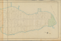
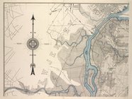
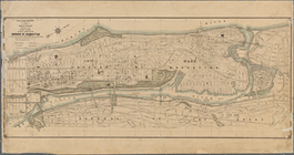
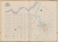
Map of the borough of Brookly…
m
The Blanchard Press correctly…
m
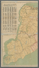
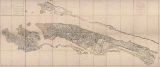
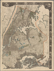
New York City and vicinity
Guide map to the Brooklyn and…
Map of the borough of Brookly…
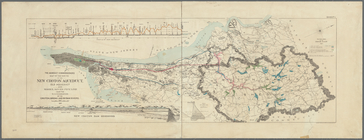
Map showing proposed extensio…
Map of the borough of Brookly…
m
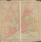
Map of New York City : showin…
m
Sea Gate, New York Harbor
m
Rand-McNally standard map of …
Map of portion of greater New…
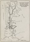
The subway problem: map of in…
Map of the route of the new C…
m
Map or plan showing a general…
m
New map of the borough of Ric…
m
Map of New York City: showing…
m
Map of New York City (Manhatt…
Map of New York City between …
Map or plan showing the stree…
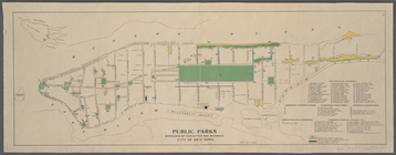
Public parks boroughs of Manh…
m
Rand-McNally standard map of …
m
Hammond's standard map of the…
New map of New York City: fro…
m
General map of the city of Ne…
m
Map of Manhattan, City of New…
The largest and grandest comm…
Real estate map of property b…
m
General map of the borough of…
m
27th assembly district
m
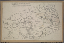
Facsimile of the unpublished …
m
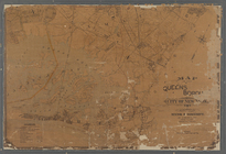
Map of the Queens Boro[ugh], …
m
Authentic street plan of grea…
m
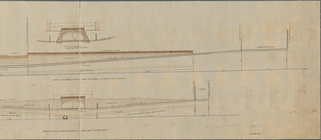
Profile of Riverside Drive fr…
m
General map of the city of Ne…
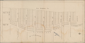
Map of property at New Bright…
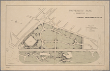
University Park, Brooklyn, N.…
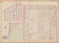
[Bounded by Avenue H, E. 18th…
Bounded by Avenue L, E. 19th …
Bounded by Stillwell Ave., Av…
Jamaica Bay and Rockaway Beac…
Bounded by Avenue Q, E. 36th …
Bounded by E. 52nd St., Avenu…
Bounded by W. 12th St., Avenu…
Bounded by Avenue V, Ocean Av…
Bounded by Avenue K, E. 53rd …
Bounded by (Fresh Creek) E. 1…
Miniature map of the property…
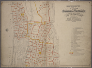
Index to Volume Two: Atlas of…
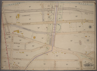
Double Page Plate No. 1, Part…