Click to visit the main New York Public Library Homepage
The New York Public Library
Digital Collections
About Digital Collections
Browse
Search only public domain materials
Items
Collections
Divisions
Home
Search
Browse
About
Search only public domain materials
Items
Collections
Divisions
Digital Collections
Using Images
Using Data
Search
Filtered search
Show filters
Hide filters
Show Only Public Domain
topic
x
Real property
Fire insurance
84
Signs (Notices)
11
Landowners
6
"Lung Block"
5
More
Less
name
G.W. Bromley & Co
1335
E. Belcher Hyde Map Company
488
Ullitz, Hugo
488
E.B. Hyde & Co
425
Bromley, George Washington
236
More
Less
collection
Atlases of New York City
1914
Maps of New York City and State
25
Photographic views of New York City, 1870's-1970's, from the collections of the New York Public Library
11
Fred F. French Companies records
6
Atlases, gazetteers, guidebooks and other books
1
place
x
New York
New York (State)
1957
Manhattan (New York, N.Y.)
1191
Brooklyn (New York, N.Y.)
434
Maps
296
More
Less
genre
Maps
1858
Indexes
98
Index maps
30
Title pages
23
Photographs
16
More
Less
publisher
G.W. Bromley & Co
1287
E. Belcher Hyde
425
Sanborn Map Co
84
Hyde & Co
67
G.W. Bromley
49
More
Less
division
Map Division
1940
Milstein Division
11
Manuscripts and Archives Division
6
type
cartographic
1856
text
139
still image
17
Date Range
to
1,957 results found
Filtering on:
x
Date
: 1900 - 1930
x
Place
: New York
x
Topic
: Real property
Sort by:
Title
Date created
Date digitized
Sequence
m
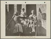
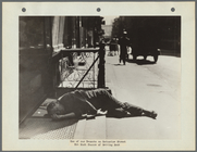
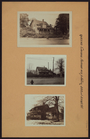
146 Cherry Street in the "Lun…
m
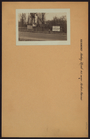
Corner of Cherry Street and M…
m
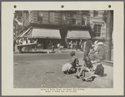
Youth Learning to Gamble on C…
m
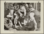
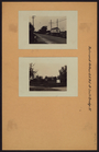
Cherry Street Near Market Sli…
m
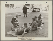
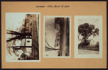
One of our Tenants on Catheri…
m
Map of property belonging to …
Map of lots belonging to the …
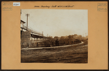
Map of Brooklyn Manor
Map of Flatbush Meadows : sit…
Tracts and farms with street …
Rosedale Square, Rosedale : 4…
Map of Jamaica in the 4th war…
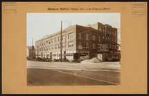
Map of property New York Dock…
Map of Kissena Park, third wa…
Block sketch 1679, New York C…
East River Heights, first war…
Map of Bellaire Estates : own…
Hollis Terrace addition no. 1…
Map of 272 lots in the 30th w…
Map of Jamaica Fells : fourth…
m
Map of the borough of Queens,…
Borough Park Company
m
Sea Gate, New York Harbor
Map of Elmhurst Square : situ…
Plan of the great meadows of …
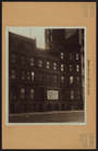
Block no. 86 : confidential r…
Map of portion of greater New…
m
Bronx: Broadway - 238th Stree…
Map showing locations of Dela…
She's a NICE GIRL, but she CO…
m
Brooklyn: Nostrand Avenue - E…
m
Manhattan: Madison Avenue - 9…
m
Queens: Corona Avenue - 102nd…
m
Queens: Kissena Boulevard - 6…
m
Queens: Springfield Boulevard…
m
Richmond: Amboy Road - Arden …
m
Richmond: Arthur Kill Road - …
m
Richmond: Arthur Kill Road - …
m
Richmond: Clove Road - Beverl…
m
Richmond: Manor Road - Kent A…
Map of New York City between …
m
Property identification map o…
Fieldston, Riverdale-on-Hudso…
Atlas of the Borough of Manha…
Block Index [With the Manhatt…
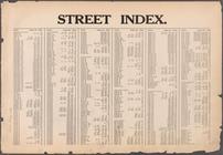
Street Index [Arlington Squar…
Street Index [Haven Avenue - …
Street Index [Water Street - …
Street Index [80th Street - 2…
Index: Borough of Manhattan, …
1
2
3
4
5
6
7
8
Previous
Next
1
2
3
4
5
6
7
8
Previous
Next