Click to visit the main New York Public Library Homepage
The New York Public Library
Digital Collections
About Digital Collections
Browse
Search only public domain materials
Items
Collections
Divisions
Home
Search
Browse
About
Search only public domain materials
Items
Collections
Divisions
Digital Collections
Using Images
Using Data
Search
Filtered search
Show filters
Hide filters
Show Only Public Domain
topic
Local transit
4
Administrative and political divisions
2
Aqueducts
2
Parks
2
Piers
2
More
Less
name
Rand McNally and Company
3
Poates, L. L
1
collection
Maps of New York City and State
7
place
x
New York (N.Y.)
New York
7
New York (State)
7
Manhattan (New York, N.Y.)
6
Bronx (New York, N.Y.)
1
More
Less
genre
Maps
7
Road maps
1
publisher
Rand McNally & Co
2
Alfred Vischer & Co
1
August R. Ohman
1
C. S. Hammond & Co
1
Rand, McNally & Co
1
More
Less
division
Map Division
7
type
x
cartographic
Date Range
to
7 results found
Filtering on:
x
Date
: 1902 - 1902
x
Place
: New York (N.Y.)
x
Type
: cartographic
Sort by:
Title
Date created
Date digitized
Sequence
m
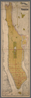
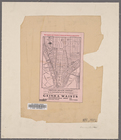
Map of New York City : showin…
m
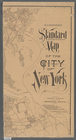
Rand-McNally standard map of …
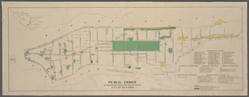
Public parks boroughs of Manh…
m
Rand-McNally standard map of …
m
Hammond's standard map of the…
m
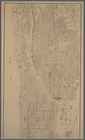
Map of Manhattan, City of New…
The largest and grandest comm…