Click to visit the main New York Public Library Homepage
The New York Public Library
Digital Collections
About Digital Collections
Browse
Search only public domain materials
Items
Collections
Divisions
Home
Search
Browse
About
Search only public domain materials
Items
Collections
Divisions
Digital Collections
Using Images
Using Data
Search
Filtered search
Show filters
Hide filters
Show Only Public Domain
topic
Real property
375
Cities & towns
168
Fire insurance
168
Maps
87
Local transit
11
More
Less
name
Sanborn Map Company
168
E. Belcher Hyde Map Company
122
E.B. Hyde & Co
122
Ullitz, Hugo
122
Austro-Hungarian Monarchy. Militärgeographisches Institut
95
More
Less
collection
Atlases of New York City
774
Atlases of the United States
198
Spezialkarte der Osterreichisch-Ungarischen Monarchie
95
Maps of New York City and State
75
Maps of North America
1
place
New York (State)
413
Brooklyn (New York, N.Y.)
217
New York (N.Y.)
191
New York
164
Staten Island (New York, N.Y.)
127
More
Less
genre
Maps
1124
Atlases
195
Topographic maps
186
Indexes
14
Pamphlets
9
More
Less
publisher
Sanborn Map Company
301
E. Belcher Hyde
193
K.u.K. Militargeographisches Institut
95
G.W. Bromley & Co
87
G.M. Hopkins Co.,
75
More
Less
division
x
Map Division
type
cartographic
1121
text
34
still image
4
Date Range
to
1,143 results found
Filtering on:
x
Date
: 1906 - 1908
x
Division
: Map Division
Sort by:
Title
Date created
Date digitized
Sequence
m
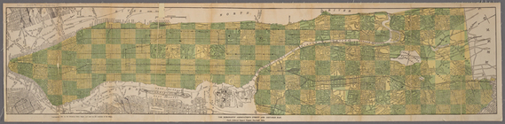
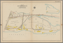
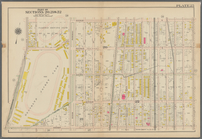
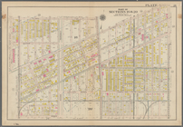
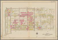
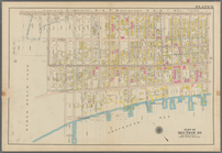
Map of Brooklyn
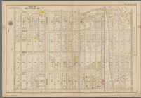
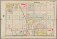
The Cord Meyer Development Co…
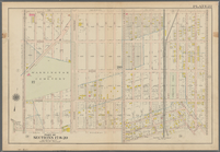
Map of Jamaica in the 4th war…
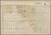
Map of Kissena Park, third wa…
Railroad suburbs between Holl…
East River Heights, first war…
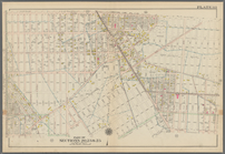
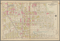
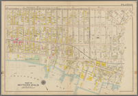
Map of the borough of Brookly…
Map of Bellaire Estates : own…
Hollis Terrace addition no. 1…
m
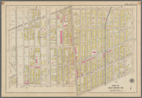
Map of the borough of Brookly…
Map of Hudson & Manhattan Rai…
Rapid transit map of Kings, Q…
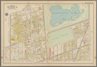
Brooklyn and vicinity
m
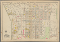
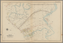
Map of the borough of Queens,…
m
View of the city of New York …
m
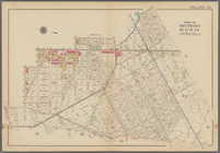
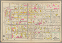
Borough of Brooklyn, 5th cong…
Topographical map showing str…
Freight terminal map of New Y…
The Merchants' Association's …
Mapa de la ciudad de Nueva Yo…
Bounded by Avenue K., Ralph A…
Bounded by E. 103rd Street, A…
Bounded by Avenue D., Ralph A…
Bounded by Rockaway Avenue, R…
Bounded by Ralph Avenue, E. 9…
Bounded by Avenue J., E. 56th…
Bounded by Avenue P., E. 31st…
Bounded by Avenue V., Knapp S…
Coney Island: Part of Section…
Coney Island. Bounded by Cana…
Bounded by Bay View Avenue, W…
Bounded by Ocean Avenue, Emmo…
Bounded by Ocean Parkway, Ave…
Bounded by Avenue Q., Ocean A…
Bounded by Avenue M., Coney I…
Bounded by Avenue I., Ocean A…
Bounded by (Vanderveer Park) …
Bounded by Ditmas Avenue, Con…
Bounded by Regent Place, Tild…
Bounded by Albemarle Avenue, …
Bounded by Winthrop Street, (…
Bounded by Malbone Street, Ki…
Bounded by Terrace Place, 11t…
Bounded by 86th Street, W. 9t…
Bounded by 86th Street, W. 11…
Bounded by 72nd Street, 22nd …
Bounded by 58th Street, West …
Bounded by 86th Street, 20th …
Bounded by 85th Street, 1st A…
Bounded by 72nd Street, 21st …
1
2
3
4
5
Previous
Next
1
2
3
4
5
Previous
Next