Click to visit the main New York Public Library Homepage
The New York Public Library
Digital Collections
About Digital Collections
Browse
Search only public domain materials
Items
Collections
Divisions
Home
Search
Browse
About
Search only public domain materials
Items
Collections
Divisions
Digital Collections
Using Images
Using Data
Search
Filtered search
Show filters
Hide filters
Show Only Public Domain
topic
Real property
2307
Fire insurance
1137
Cities & towns
1058
Zoning
116
Maps
84
More
Less
name
Sanborn Map Company
1138
G.W. Bromley & Co
958
Austro-Hungarian Monarchy. Militärgeographisches Institut
608
Bromley, George Washington
550
Bromley, Walter Scott
550
More
Less
collection
Atlases of New York City
2966
Atlases of the United States
855
Spezialkarte der Osterreichisch-Ungarischen Monarchie
608
Maps of New York City and State
340
Maps of Asia
41
More
Less
place
New York (State)
2685
New York
1340
New York (N.Y.)
571
Manhattan (New York, N.Y.)
490
Maps
478
More
Less
genre
Maps
4889
Atlases
841
Topographic maps
704
Cadastral maps
52
Pamphlets
32
More
Less
publisher
Sanborn Map Company
1185
G.W. Bromley & Co
861
E. Belcher Hyde
646
K.u.K. Militargeographisches Institut
608
E. Belcher-Hyde
112
More
Less
division
Map Division
4820
General Research Division
55
Schomburg Jean Blackwell Hutson Research and Reference Division
26
Manuscripts and Archives Division
11
Milstein Division
3
More
Less
type
x
cartographic
text
74
still image
15
Date Range
to
4,922 results found
Filtering on:
x
Date
: 1906 - 1921
x
Type
: cartographic
Sort by:
Title
Date created
Date digitized
Sequence
Results 251 - 300
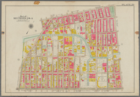
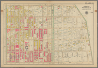
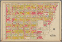
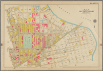
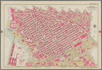
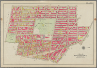
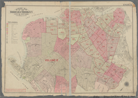
Plate 29: Bounded by Court St…
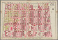
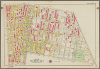
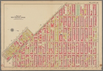
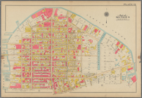
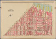
Bounded by Fourth Avenue, Pre…
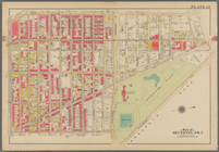
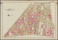
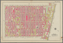
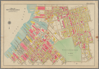
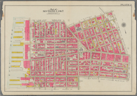
Bounded by Bedford Avenue, Ma…
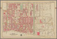
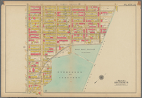
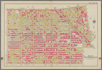
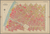
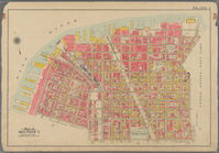
Bounded by Kingston Avenue, M…
Bounded by Rochester Avenue, …
Bounded by Saratoga Avenue, E…
Bounded by Conway Street, Nor…
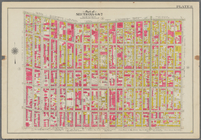
Bounded by Halsey Street, Irv…
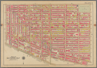
Bounded by Harman Street, St.…
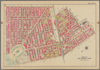
Bounded by Saratoga Avenue, C…
Bounded by Stuyvesant Avenue,…
Bounded by Flushing Avenue, B…
Bounded by Flushing Avenue, P…
Bounded by Newton Creek (Sene…
Bounded by Teneyck Street, Mo…
Bounded by Bayard Street, Gra…
Bounded by Calyer Street, Fro…
Bounded by Commercial Street,…
Bounded by Noble St., Manhatt…
Bounded by Metropolitan Ave.,…
Bounded by S. 11th Street, Be…
Bounded by Flushing Avenue, N…
Bounded by Lafayette Avenue, …
Bounded by Fifth Avenue, Atla…
Bounded by Clermont Avenue, G…
Bounded by Atlantic Avenue, B…
Bounded by Van Brunt Street (…
Bounded by Clark Street, Fult…
Bounded by Plymouth Street, W…
Outline map of the Borough of…
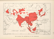
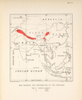
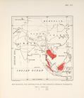
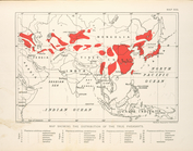
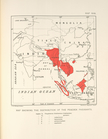
Map showing the distribution …
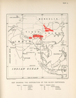
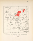
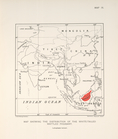
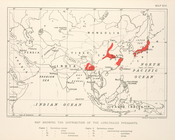
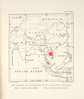
Map showing the distribution …
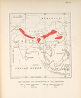
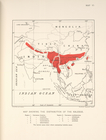
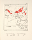
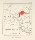
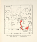
Map showing the distribution …
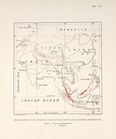
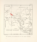
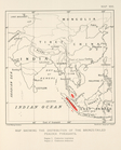
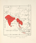
Map showing the distribution …
Map showing the distribution …
Map showing the distribution …
Map showing the distrubution …
Map showing the distribution …
Map showing the distribution …
Map showing the distrubution …
Map showing the distribution …
Map showing the distribution …
Map showing the distribution …
Map showing the distribution …
Map showing the distribution …
Map showing the distribution …
Map schowing the distribution…
Map showing the distribution …
Map showing the distribution …
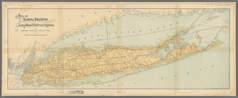
Map of Long Island showing th…
1
2
3
4
5
6
7
8
9
10
…
19
20
Previous
Next
1
2
3
4
5
6
7
8
9
10
…
19
20
Previous
Next