Click to visit the main New York Public Library Homepage
The New York Public Library
Digital Collections
About Digital Collections
Browse
Search only public domain materials
Items
Collections
Divisions
Home
Search
Browse
About
Search only public domain materials
Items
Collections
Divisions
Digital Collections
Using Images
Using Data
Search
Filtered search
Show filters
Hide filters
Show Only Public Domain
topic
Real property
1707
Fire insurance
950
Cities & towns
871
Zoning
116
Maps
44
More
Less
name
Sanborn Map Company
951
G.W. Bromley & Co
743
Austro-Hungarian Monarchy. Militärgeographisches Institut
561
Bromley, George Washington
420
Bromley, Walter Scott
420
More
Less
collection
Atlases of New York City
2280
Atlases of the United States
732
Spezialkarte der Osterreichisch-Ungarischen Monarchie
561
Maps of New York City and State
214
Maps of Asia
41
More
Less
place
New York (State)
2009
New York
892
New York (N.Y.)
418
Manhattan (New York, N.Y.)
377
Maps
361
More
Less
genre
Maps
3871
Atlases
721
Topographic maps
654
Cadastral maps
50
Pamphlets
21
More
Less
publisher
Sanborn Map Company
998
G.W. Bromley & Co
646
K.u.K. Militargeographisches Institut
561
E. Belcher Hyde
439
E. Belcher-Hyde
112
More
Less
division
Map Division
3836
General Research Division
23
Schomburg Jean Blackwell Hutson Research and Reference Division
15
Manuscripts and Archives Division
11
Wallach Division: Photography Collection
2
More
Less
type
x
cartographic
text
52
still image
12
Date Range
to
3,890 results found
Filtering on:
x
Date
: 1908 - 1917
x
Type
: cartographic
Sort by:
Title
Date created
Date digitized
Sequence
Results 251 - 300
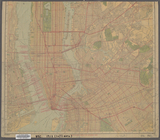
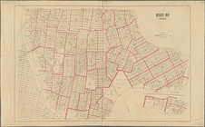
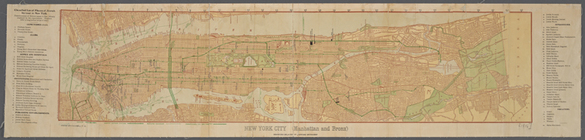
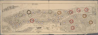
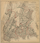
Map of Boroughs of Manhattan …
New Guide Map of Manhattan an…
New York City (Manhattan and …
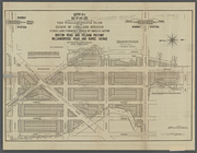
Commission on building distri…
m
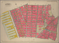
Borough of Manhattan [and] th…
m
New handy map of the borough …
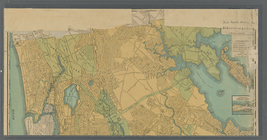
Fieldston, Riverdale-on-Hudso…
m
Map of the city of New York
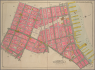
Map of the southern part of t…
m
Borough of Brooklyn, City of …
m
Library map 1908
Plan of the former township o…
m
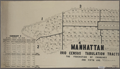
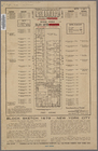
Manhattan, 1910 census tabula…
m
Maps showing borings in Canal…
Library map of Manhattan and …
New York City, part of Map of…
Map of part of sections 1 & 2…
The Rand McNally map of the B…
m
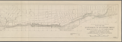
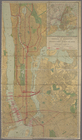
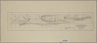
Plan for the Riverside Drive …
m
[Plat maps of southwestern pa…
Riverside Drive Extension (Ex…
Riverside Drive Extension (Ex…
Map of New York City : showin…
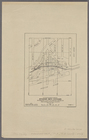
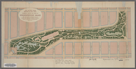
Preliminary Study for the Des…
m
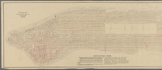
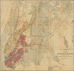
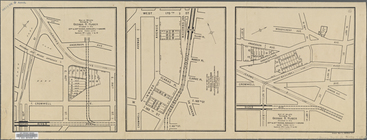
Fire Chart of the Borough of …
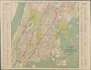
Map of New York City from 98t…
Vicinity of Grand Central Ter…
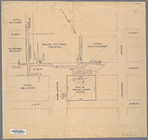
Block sketch 1679, showing a …
Map of property of the Van Co…
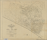
Map of the Woodlawn Cemetery.
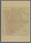
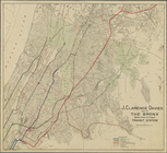
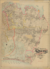
Map of the Bronx showing pres…
Map of the Borough of the Bro…
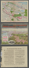
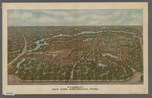
Panorama of the New York Zool…
General map of the borough of…
m
Hammond's new Guide map of th…
Map of the Woodlawn Cemetery.
A general view of the Bronx R…
Plan of the Bronx Internation…
New York Title and Mortgage C…
Map of 56 lots belonging to G…
Petersen's new map of the Bro…
m
Estate of Lorillard Spencer.
m
Ohman's Standard Map of the B…
m
Williamsbridge Farm.
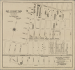
Map of Wyckoff Park, Fourth W…
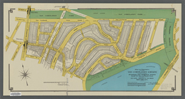
Map of the Borough of Queens,…
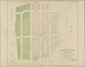
Map of Jamaica Hillcrest, sec…
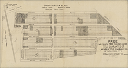
South Jamaica Place, Fourth W…
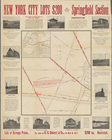
Map of Springfield Section. P…
Rockaway Beach (part of) [Map…
1
2
3
4
5
6
7
8
9
10
…
15
16
Previous
Next
1
2
3
4
5
6
7
8
9
10
…
15
16
Previous
Next