Click to visit the main New York Public Library Homepage
The New York Public Library
Digital Collections
About Digital Collections
Browse
Search only public domain materials
Items
Collections
Divisions
Home
Search
Browse
About
Search only public domain materials
Items
Collections
Divisions
Digital Collections
Using Images
Using Data
Search
Filtered search
Show filters
Hide filters
Show Only Public Domain
topic
Real property
2730
Fire insurance
1173
Cities & towns
1088
Zoning
114
Maps
46
More
Less
name
G.W. Bromley & Co
1654
Sanborn Map Company
1174
Bromley, George Washington
451
Bromley, Walter Scott
451
Ullitz, Hugo
356
More
Less
collection
x
Atlases of New York City
place
New York (State)
2976
New York
1888
Manhattan (New York, N.Y.)
1239
New York (N.Y.)
596
Brooklyn (New York, N.Y.)
277
More
Less
genre
Maps
3673
Topographic maps
90
Indexes
54
Cadastral maps
52
Index maps
33
More
Less
publisher
G.W. Bromley & Co
1556
Sanborn Map Company
1222
E. Belcher Hyde
426
Sanborn Map Co
84
The Board
76
More
Less
division
Map Division
3752
type
cartographic
3707
text
89
still image
3
Date Range
to
3,752 results found
Filtering on:
x
Date
: 1908 - 1934
x
Rights
: Public Domain
x
Collection
: Atlases of New York City
For more collection details, visit the
Atlases of New York City collection page
.
Sort by:
Title
Date created
Date digitized
Sequence
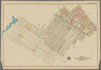
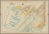
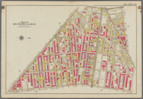
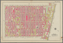
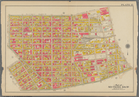
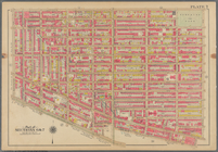
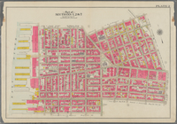
Bounded by Stanley Ave., Mill…
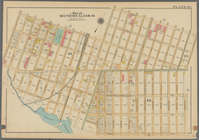
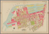
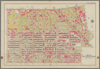
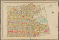
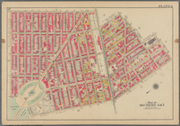
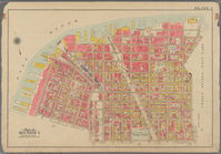
Bounded by Riverdale Avenue, …
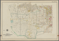
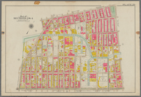
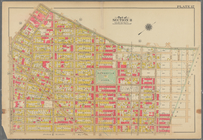
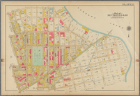
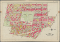
Bounded by Linwood St., Cozin…
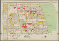
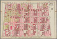
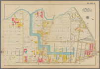
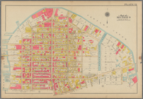
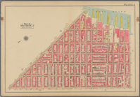
Bounded by Logan Street, Jama…
Bounded by Barbey Street, (Hi…
Bounded by Snediker Avenue, L…
Bounded by Park Place, East N…
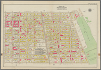
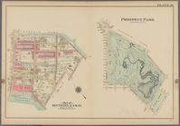
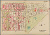
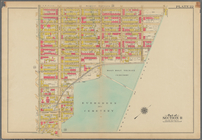
Prospect Park Bounded by (Ins…
Bounded by 9th Avenue, Twenty…
Bounded by Fourth Avenue, 38t…
Bounded by First Avenue (New …
Bounded by (New York Bay) Sec…
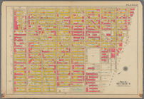
Bounded by Richards Street, (…
Bounded by (New York Bay Pier…
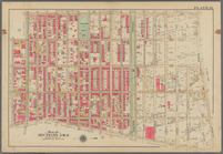
Plate 29: Bounded by Court St…
Bounded by Fourth Avenue, Pre…
Bounded by Bedford Avenue, Ma…
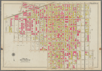
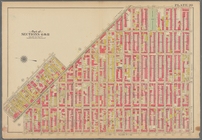
Bounded by Kingston Avenue, M…
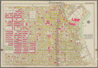
Bounded by Rochester Avenue, …
Bounded by Saratoga Avenue, E…
Bounded by Conway Street, Nor…
Bounded by Halsey Street, Irv…
Bounded by Harman Street, St.…
Bounded by Saratoga Avenue, C…
Bounded by Stuyvesant Avenue,…
Bounded by Flushing Avenue, B…
Bounded by Flushing Avenue, P…
Bounded by Newton Creek (Sene…
Bounded by Teneyck Street, Mo…
Bounded by Bayard Street, Gra…
Bounded by Calyer Street, Fro…
Bounded by Commercial Street,…
Bounded by Noble St., Manhatt…
Bounded by Metropolitan Ave.,…
Bounded by S. 11th Street, Be…
Bounded by Flushing Avenue, N…
Bounded by Lafayette Avenue, …
Bounded by Fifth Avenue, Atla…
Bounded by Clermont Avenue, G…
Bounded by Atlantic Avenue, B…
Bounded by Van Brunt Street (…
Bounded by Clark Street, Fult…
Bounded by Plymouth Street, W…
m
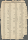
Street Index: Lee Avenue?-Yor…
Outline map of the Borough of…
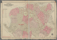
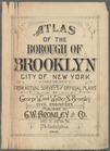
Atlas of the Borough of Brook…
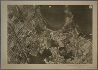
9B - N.Y. City (Aerial Set).
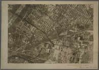
9C - N.Y. City (Aerial Set).
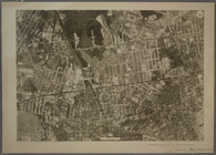
9D - N.Y. City (Aerial Set).
10A - N.Y. City (Aerial Set).
1
2
3
4
5
6
7
8
9
10
…
15
16
Previous
Next
1
2
3
4
5
6
7
8
9
10
…
15
16
Previous
Next