Click to visit the main New York Public Library Homepage
The New York Public Library
Digital Collections
About Digital Collections
Browse
Search only public domain materials
Items
Collections
Divisions
Home
Search
Browse
About
Search only public domain materials
Items
Collections
Divisions
Digital Collections
Using Images
Using Data
Search
Filtered search
Show filters
Hide filters
Show Only Public Domain
name
x
Austro-Hungarian Monarchy. Militärgeographisches Institut
collection
Spezialkarte der Osterreichisch-Ungarischen Monarchie
117
genre
Maps
117
Topographic maps
117
publisher
K.u.K. Militargeographisches Institut
117
division
Map Division
117
type
cartographic
117
Date Range
to
117 results found
Filtering on:
x
Date
: 1910 - 1910
x
Name
: Austro-Hungarian Monarchy. Militärgeographisches Institut
Sort by:
Title
Date created
Date digitized
Sequence
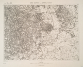
Jaslo und Dukla.
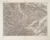
Pomorzany.
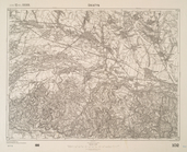
Nepomuk und Horazdowitz.
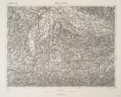
G. Meseritsch.
Prosznitz und Wischau.
Dukla-Pasz (Galizien).
Ustrzyki Dolne.
Brzezany (Galizien).
Kisszeben.
Giralt.
Wola Michowa u. Izbugyarhdvan…
Goding und Lundenburg.
Tot-Prona und Privigye.
Nagyberezna.
Jagielnica und Czernelica.
Ober Hallabrunn.
Handlova und Oszlany (Ungarn).
Neusohl und Altsohl (Ungarn).
Nagy-Rocze und Rimm-Banya (Un…
Harrachsdorf.
Hohenelbe.
Nisko und Rozwadow.
Melnik.
Beresteczko und Szczurowice.
Ujscie Solne.
Tepl und Tuschkau.
Hohenmauth und Leitomischl.
Rosenau und Szilas.
Kassa (Kaschau) (Ungarn). …
Toketerebes und Nagyszalancz.
Szerednye.
Durnkrut und Bosing.
Tyrnau.
Neutra.
Nyiregyhaza und Hajdu-Nans.
Goncz und Csobad (Ung…
Saros-Nagypatak und Satoralja…
Kuty …
Sniatyn.
Enns und Steyr.
Sellye und Nagy-Surany.
Balassa-Gyarmat und Ipoly-Sag.
Salgo-Tarjan und Nagyszecseny.
Miskolcz.
Szikszo und Tisza-Dob.
Kirchdorf.
Paszto und Apcz …
Gyongyos und Bakta …
Ober Wikow.
Obuda, (Budapest).