Click to visit the main New York Public Library Homepage
The New York Public Library
Digital Collections
About Digital Collections
Browse
Search only public domain materials
Items
Collections
Divisions
Home
Search
Browse
About
Search only public domain materials
Items
Collections
Divisions
Digital Collections
Using Images
Using Data
Search
Filtered search
Show filters
Hide filters
Show Only Public Domain
topic
Real property
1398
Fire insurance
718
Cities & towns
634
Buildings
373
Libraries
368
More
Less
name
Sanborn Map Company
718
G.W. Bromley & Co
427
New York Public Library
370
Ullitz, Hugo
262
Rosenfeld, Morris, 1884-1968
261
More
Less
collection
Atlases of New York City
1432
Photographic views of New York City, 1870's-1970's, from the collections of the New York Public Library
542
New York Public Library Visual Materials
364
Morris Rosenfeld Photographs
260
Atlases of the United States
202
More
Less
place
x
New York (State)
New York
2563
New York (N.Y.)
1592
Manhattan (New York, N.Y.)
994
Maps
328
More
Less
genre
Photographs
1725
Maps
1690
Atlases
201
Stereographs
188
Postcards
140
More
Less
publisher
Sanborn Map Company
633
G.W. Bromley & Co
379
E. Belcher Hyde
263
E. Belcher-Hyde
112
Sanborn Map Co
85
More
Less
division
Map Division
1722
Milstein Division
1150
NYPL Archives
325
Wallach Division: Photography Collection
225
Wallach Division: Picture Collection
189
More
Less
type
still image
2111
cartographic
1704
text
77
Date Range
to
3,845 results found
Filtering on:
x
Date
: 1910 - 1917
x
Place
: New York (State)
Sort by:
Title
Date created
Date digitized
Sequence
m
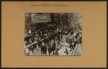
Occupations - Peddlers - Misc…
m
Map of the Cedar Knolls, at B…
m
S. Rosenbloom & Sons, shoes
m
Rosenbloom Bros. leading book…
m
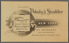
Compliments of Polosky & Staa…
m
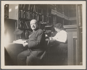
Abraham Freidus and his assis…
Map of the borough of Brookly…
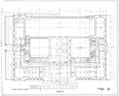
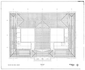
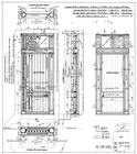
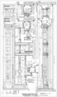
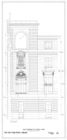
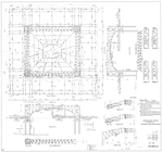
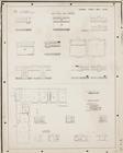
Basement plan
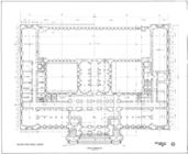
First floor plan
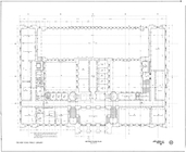
Mezzanine floor plan
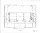
Second floor plan
Third floor plan
Roof plan
m
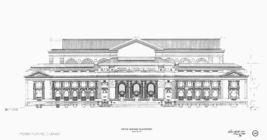
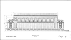
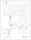
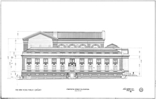
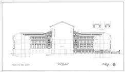
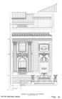
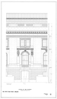
Fifth Avenue elevation
m
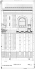
Bryant Park elevation
Fortieth Street elevation
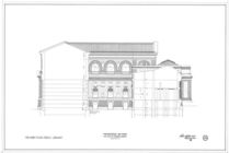
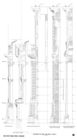
Longitudinal section on axis …
Transverse section on axis B …
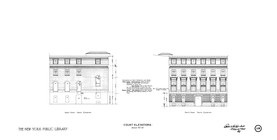
Court elevations : north cour…
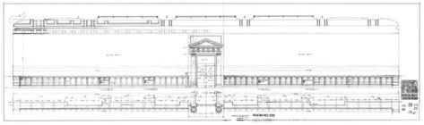
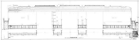
Room no. 232-234, exterior no…
Room no. 232-234, exterior no…
Room no. 335 : west elevation
Room no. 335 : east elevation
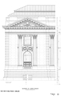
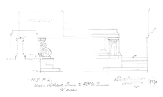
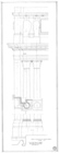
Elevation of colonnade and fo…
Elevation of corner pavilion
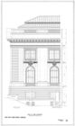
End of side elevation
Center of side elevation
Elevation on Bryant Park
East elevation of south court
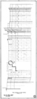
Sections of side and rear wal…
Structural metal for roof of …
Steps : northeast terrace to …
Front elevation of south corn…
Side elevation of north corner
Drawing showing how stones of…
Plan of change corners
42nd Street sections
Basement framing
Mezzanine & Rooms 103 and 104
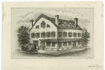
Fraunces' Tavern, N.Y.C., 1777
m
The Harlem Negro
m
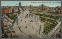
Manhattan Bridge approach, Ne…
m
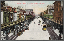
Bowery, North of Grand Street…
m
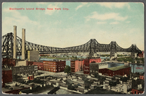
Blackwell's Island Bridge, Ne…
m
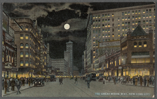
The Great White Way, New York…
m
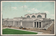
New Pennsylvania Station, New…
m
Map of the borough of Brookly…
Hammond's complete map of New…
m
Petersen's map of Brooklyn
Map of Flatbush Meadows : sit…
1
2
3
4
5
6
7
8
9
10
…
15
16
Previous
Next
1
2
3
4
5
6
7
8
9
10
…
15
16
Previous
Next