Click to visit the main New York Public Library Homepage
The New York Public Library
Digital Collections
About Digital Collections
Browse
Search only public domain materials
Items
Collections
Divisions
Home
Search
Browse
About
Search only public domain materials
Items
Collections
Divisions
Digital Collections
Using Images
Using Data
Search
Filtered search
Show filters
Hide filters
Show Only Public Domain
topic
Real property
314
Fire insurance
201
Cities & towns
200
Indian trails
12
Indians of North America
12
More
Less
name
Sanborn Map Company
201
Bromley, George Washington
165
Bromley, Walter Scott
165
Austro-Hungarian Monarchy. Militärgeographisches Institut
144
Ullitz, Hugo
98
More
Less
collection
Atlases of New York City
576
Spezialkarte der Osterreichisch-Ungarischen Monarchie
144
Atlases of the United States
69
Maps of New York City and State
50
A plan of the city of Hartford
5
More
Less
place
New York (State)
372
New York
172
Staten Island (New York, N.Y.)
91
Bergen County (N.J.)
69
Brooklyn (New York, N.Y.)
69
More
Less
genre
Maps
860
Topographic maps
235
Atlases
69
Index maps
5
Pamphlets
5
More
Less
publisher
Sanborn Map Company
200
E. Belcher Hyde
167
K.u.K. Militargeographisches Institut
144
G.W. Bromley and Co.,
69
G.W. Bromley
49
More
Less
division
Map Division
843
General Research Division
12
Manuscripts and Archives Division
6
Schomburg Jean Blackwell Hutson Research and Reference Division
3
type
x
cartographic
text
9
still image
3
Date Range
to
864 results found
Filtering on:
x
Date
: 1912 - 1913
x
Type
: cartographic
Sort by:
Title
Date created
Date digitized
Sequence
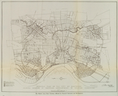
Map of the borough of Brookly…
Map of New York City and the …
Panoramic view of New York Ci…
Map showing location of propo…
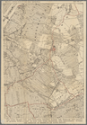
Map of borough of Richmond
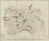
General plan of the city of H…
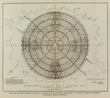
Diagrammatic plan for a moder…
General plan of the city of H…
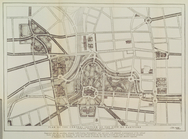
Plan of the central section o…
Suggested type of layout for …
Block line map of the heavy v…
Map of boroughs of Manhattan …
m
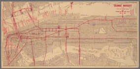
Columbia University in the Ci…
m
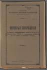
Osnovnyi︠a︡ soobrazhenīi︠a︡ k…
m
Prilozhenīe 2-oe kʺ proektu s…
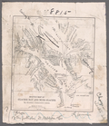
City of Erie. Pennsylvania. G…
Upper Manhattan, comprising t…
The lower end of Manhattan Is…
The southeastern part of the …
The southwestern part of the …
The northwesterly part of the…
The district of Pelham Neck, …
Southeastern part of the boro…
Werpoes, a village of the Man…
Yorkville and East Harlem in …
Southern part of the borough …
The Long Island City and Newt…
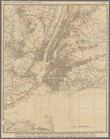
Greater New York and contigou…
Map showing locations of Dela…
Map of Proposed Belt Railways…
Preliminary Study for a Great…
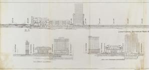
Sections and Elevations - 1st…
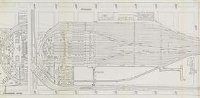
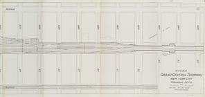
Suburban Level - 1st half.
Suburban Level - 2nd half.
m
Obʺi︠a︡snitelʹnai︠a︡ zapiska …
m
Reid, Harry Fielding
Map of Africa
Map of Kansas City, Missouri;…
m
A map of the foreign settleme…
m
Steam railroad map of Pennsyl…
m
Map of New York City south of…
Map of Fieldston, Borough of …
Map of Van Courtlandt Park, […
m
Birds eye view of New York an…
Map of the Borough of Richmond
Mt. Marcy, ed. of June 1902, …
Mobilization of the Atlantic …
m
Portion of New York City show…
The Heart of New York: Grand …
Hammond's new Guide Map of Ma…
1
2
3
4
Previous
Next
1
2
3
4
Previous
Next