Click to visit the main New York Public Library Homepage
The New York Public Library
Digital Collections
About Digital Collections
Browse
Search only public domain materials
Items
Collections
Divisions
Home
Search
Browse
About
Search only public domain materials
Items
Collections
Divisions
Digital Collections
Using Images
Using Data
Search
Filtered search
Show filters
Hide filters
Show Only Public Domain
topic
Real property
1386
Parks
6
Railroads, Elevated
5
Subways
5
Landowners
4
More
Less
name
G.W. Bromley & Co
1383
Bromley, George Washington
173
Bromley, Walter Scott
173
C.S. Hammond & Company
2
Hagstrom Company
2
More
Less
collection
Atlases of New York City
1383
Maps of New York City and State
32
Atlases, gazetteers, guidebooks and other books
1
Automobile blue book
1
Census Maps
1
More
Less
place
x
Manhattan (New York, N.Y.)
New York (State)
1413
New York
1211
New York (N.Y.)
307
Bronx (New York, N.Y.)
6
More
Less
genre
Maps
1380
Index maps
29
Indexes
28
Outline maps
10
Title pages
6
More
Less
publisher
G.W. Bromley & Co
1334
G.W. Bromley
49
publisher unknown
5
Estimate and Apportionment Board
2
The Company
2
More
Less
division
Map Division
1416
General Research Division
1
Manuscripts and Archives Division
1
Milstein Division
1
type
x
cartographic
text
43
still image
1
Date Range
to
1,419 results found
Filtering on:
x
Date
: 1913 - 1985
x
Place
: Manhattan (New York, N.Y.)
x
Type
: cartographic
Sort by:
Title
Date created
Date digitized
Sequence
The Evening Mail's complete m…
Tracts and farms with street …
Carl Schurz Park
Park between 35th and 36th St…
Hagstrom's map of lower New Y…
m
Riverside Park
m
Map of Manhattan showing the …
Block sketch 1679, New York C…
m
Hammond's complete map of New…
Colonial Park
Rand McNally Map of Brooklyn
City Hall Park
m
Tentative height districts, M…
m
Tentative use districts, Manh…
Block line map of the heavy v…
m
Hagstrom's map of upper New Y…
Hagstrom's New York house-num…
m
Financial district map of New…
m
Borough of Manhattan, 300 foo…
Map of the borough of Manhatt…
Block no. 86 : confidential r…
m
Street guide of Manhattan and…
Greater New York's Census dis…
m
Rand McNally commercial map o…
Hagstrom's map of ... New Yor…
Map of Morningside Park
m
Map of original grants and fa…
Chief Points of Interest in L…
m
1900 census enumeration distr…
m
Map of New York City
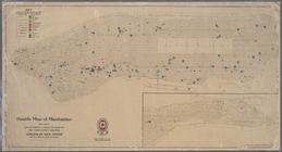
Health map of Manhattan: prep…
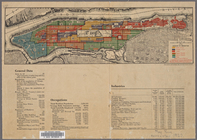
Map of the Borough of Manhatt…
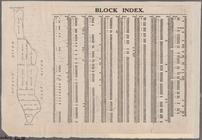
Block Index [With the Manhatt…
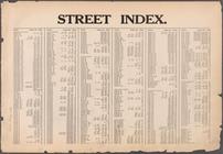
Street Index [Arlington Squar…
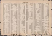
Street Index [Haven Avenue - …
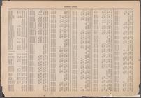
Street Index [Water Street - …
Street Index [80th Street - 2…
Index: Borough of Manhattan, …
Index: Borough of Manhattan, …
Index: Borough of Manhattan, …
Index: Borough of Manhattan, …
Index: Borough of Manhattan, …
m
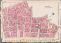
Bounded by Beaver Street, Bro…
m
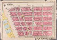
Plate 2: [Bounded by Carlisle…
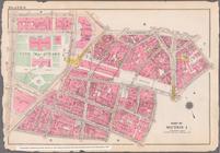
Bounded by Vesey Street, Ann …
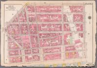
Bounded by William Street, An…
Bounded by Reade Street, Broa…
Bounded by Reade Street, Duan…
Bounded by East Broadway, Pik…
Bounded by Franklin Street, B…
1
2
3
4
5
6
Previous
Next
1
2
3
4
5
6
Previous
Next