Click to visit the main New York Public Library Homepage
The New York Public Library
Digital Collections
About Digital Collections
Browse
Search only public domain materials
Items
Collections
Divisions
Home
Search
Browse
About
Search only public domain materials
Items
Collections
Divisions
Digital Collections
Using Images
Using Data
Search
Filtered search
Show filters
Hide filters
Show Only Public Domain
topic
Real property
452
Cities & towns
306
Fire insurance
305
Buildings
103
Streets
94
More
Less
name
Sanborn Map Company
305
Austin, Daniel Berry
124
Hyde, E. Belcher
112
Rosenfeld, Morris, 1884-1968
89
New York (N.Y.). Tenement House Department
68
More
Less
collection
Atlases of New York City
381
Photographic views of New York City, 1870's-1970's, from the collections of the New York Public Library
145
Collection of photographs taken by Daniel B. Austin and his associate, Adam Dove, depicting buildings, street scenes and Brooklyn and Long Island views, particularly Flatbush, Gravesend and New Utrecht, and generally for the period 1885-1914
124
Atlases of the United States
113
Morris Rosenfeld Photographs
89
More
Less
place
x
New York (State)
New York
516
New York (N.Y.)
312
Manhattan (New York, N.Y.)
245
Maps
112
More
Less
genre
Photographs
526
Maps
515
Atlases
112
Prints
38
Postcards
37
More
Less
publisher
Sanborn Map Company
305
E. Belcher-Hyde
112
E. Belcher Hyde
42
G.W. Bromley & Co
34
publisher unknown
6
More
Less
division
Map Division
516
Milstein Division
428
Wallach Division: Picture Collection
58
NYPL Archives
35
Wallach Division: Photography Collection
30
More
Less
type
still image
618
cartographic
515
text
9
Date Range
to
1,135 results found
Filtering on:
x
Date
: 1914 - 1915
x
Place
: New York (State)
Sort by:
Title
Date created
Date digitized
Sequence
Fraunces' Tavern, N.Y.C., 1777
m
Official map covering territo…
Carl Schurz Park
Park between 35th and 36th St…
Birdseye view of greater New …
m
Riverside Park
Bush Terminal, map showing bu…
Map of the country thirty mil…
Map of the New York City metr…
Colonial Park
City Hall Park
Map of Brooklyn
m
Hammond's complete map of Bro…
Greater New York and its harb…
m
Tentative height districts, M…
m
Tentative use districts, Manh…
m
Borough of Manhattan, 300 foo…
m
Rand McNally commercial map o…
Map of Morningside Park
New Yorkers prefer Grand Auto…
m
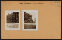
Brooklyn: Court Street - Jora…
m
Brooklyn: Fulton Street - Liv…
m
Brooklyn: Bay Ridge Parkway -…
m
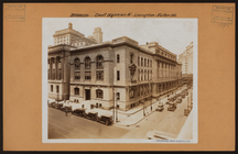
Brooklyn: Berriman Street - B…
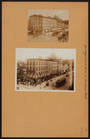
Madison Cottage, at Broadway …
m
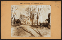
Bronx: Williamsbridge Road - …
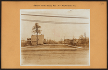
m
Bronx: White Plains Road - We…
m
Bronx: Trinity Avenue - 158th…
m
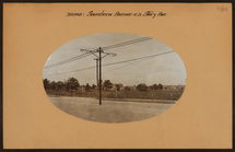
Bronx: Soundview Avenue - Sto…
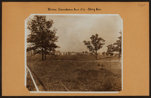
m
Bronx: Soundview Avenue - Sto…
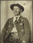
Bavarian man
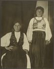
Romanian women
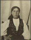
Romanian woman
Italian woman
Bavarian man
Romanian piper
Girl from Rättvik, province o…
Sami children, possibly from …
Scottish boys
Norwegian woman
Two horsemen (performers) fro…
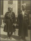
Slovak woman and children
Slovakian women
Rev. Joseph Vasilon, Greek-Or…
Dutch woman
Albanian soldier
Sami children, possibly from …
Horseman (performer) from the…
m
Kitchen with ornate stove and…
m
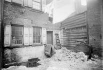
Backyard with dirt & furniture
1
2
3
4
5
Previous
Next
1
2
3
4
5
Previous
Next