Click to visit the main New York Public Library Homepage
The New York Public Library
Digital Collections
About Digital Collections
Browse
Search only public domain materials
Items
Collections
Divisions
Home
Search
Browse
About
Search only public domain materials
Items
Collections
Divisions
Digital Collections
Using Images
Using Data
Search
Filtered search
Show filters
Hide filters
Show Only Public Domain
topic
Real property
89
Maps
36
Railroads, Elevated
9
Railroads
8
Local transit
7
More
Less
name
Fairchild Aerial Camera Corporation
127
New York (N.Y.). Bureau of Engineering
127
Tuttle, Arthur S. (Arthur Smith), 1865-1949
127
New York (N.Y.). Board of Estimate and Apportionment
113
M.B. Brown Printing and Binding Co
108
More
Less
collection
Atlases of New York City
323
Maps of New York City and State
28
Atlases, gazetteers, guidebooks and other books
1
I. N. Phelps Stokes Collection of American Historical Prints
1
place
x
New York (N.Y.)
New York
114
New York (State)
114
Manhattan (New York, N.Y.)
102
Bronx (New York, N.Y.)
4
More
Less
genre
x
Maps
Index maps
3
Outline maps
3
Aerial views
2
Mass transit
2
More
Less
publisher
M.B. Brown Printing & Binding Co.,
108
G.W. Bromley & Co
88
C.S. Hammond & Co
3
The Board
3
The Company
3
More
Less
division
Map Division
352
Wallach Division: Print Collection
1
type
cartographic
353
still image
2
Date Range
to
353 results found
Filtering on:
x
Date
: 1914 - 1928
x
Genre
: Maps
x
Place
: New York (N.Y.)
Sort by:
Title
Date created
Date digitized
Sequence
Hammond's complete map of New…
Educational extension work of…
The Evening Mail's complete m…
Rail terminal facilities in G…
Most extraordinary [camera sh…
m
Hammond's complete map of New…
m
The Rand McNally map of the b…
m
The five boroughs of the city…
Map of the country thirty mil…
Map of the New York City metr…
Rand McNally Map of Brooklyn
Map of Brooklyn
m
The Wanamaker diary map of Ne…
m
Tentative height districts, M…
m
Tentative use districts, Manh…
m
Hagstrom's map of upper New Y…
Maps accompanying report of M…
The Narrows tunnel : chart of…
Proposed location of the Narr…
m
Borough of Manhattan, 300 foo…
Freight terminal map of the P…
Block no. 86 : confidential r…
m
Street guide of Manhattan and…
Greater New York's Census dis…
m
Rand McNally commercial map o…
Hagstrom's map of ... New Yor…
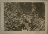
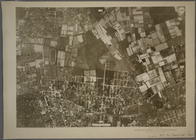
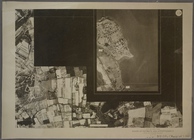
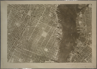
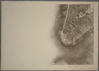
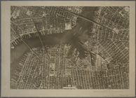
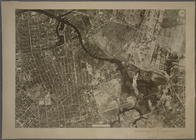
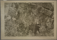
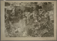
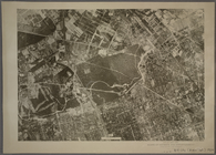
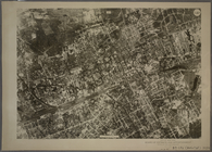
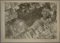
9B - N.Y. City (Aerial Set).
9C - N.Y. City (Aerial Set).
9D - N.Y. City (Aerial Set).
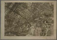
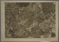
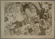
10A - N.Y. City (Aerial Set).
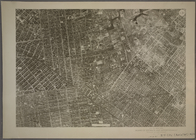
10B - N.Y. City (Aerial Set).
10C - N.Y. City (Aerial Set).
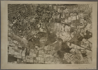
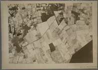
10D - N.Y. City (Aerial Set).
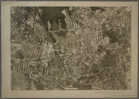
11A - N.Y. City (Aerial Set).
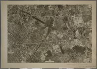
11B - N.Y. City (Aerial Set).
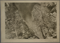
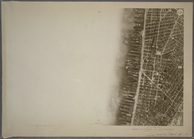
11C - N.Y. City (Aerial Set).
11D - N.Y. City (Aerial Set).
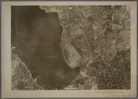
12A - N.Y. City (Aerial Set).
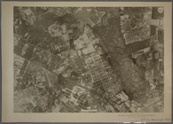
12B - N.Y. City (Aerial Set).
12C - N.Y. City (Aerial Set).
12D - N.Y. City (Aerial Set).
13A - N.Y. City (Aerial Set).
13B - N.Y. City (Aerial Set).
13C - N.Y. City (Aerial Set).
13D - N.Y. City (Aerial Set).
14A - N.Y. City (Aerial Set).
14B - N.Y. City (Aerial Set).
14C - N.Y. City (Aerial Set).
14D - N.Y. City (Aerial Set).
15A - N.Y. City (Aerial Set).
1
2
Previous
Next
1
2
Previous
Next