Click to visit the main New York Public Library Homepage
The New York Public Library
Digital Collections
About Digital Collections
Browse
Search only public domain materials
Items
Collections
Divisions
Home
Search
Browse
About
Search only public domain materials
Items
Collections
Divisions
Digital Collections
Using Images
Using Data
Search
Filtered search
Show filters
Hide filters
Show Only Public Domain
topic
Real property
404
Zoning
116
Fire insurance
84
Buildings
22
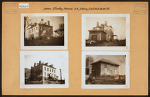
Libraries
22
More
Less
name
G.W. Bromley & Co
202
New York (N.Y.). Board of Estimate and Apportionment
117
E. Belcher Hyde Map Company
114
E.B. Hyde & Co
114
Ullitz, Hugo
114
More
Less
collection
Atlases of New York City
514
Photographic views of New York City, 1870's-1970's, from the collections of the New York Public Library
69
New York Public Library Visual Materials
21
Maps of New York City and State
18
Wallach Division Picture Collection
16
More
Less
place
x
New York (State)
New York
666
Manhattan (New York, N.Y.)
256
Maps
145
New York (N.Y.)
127
More
Less
genre
Maps
511
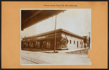
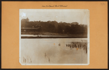
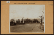
Photographs
143
Indexes
15
Prints
9
Postcards
8
More
Less
publisher
G.W. Bromley & Co
202
E. Belcher Hyde
114
Sanborn Map Co
84
The Board
76
New York (N.Y.). Board of Estimate and Apportionment
38
More
Less
division
Map Division
533
Milstein Division
96
NYPL Archives
21
Wallach Division: Picture Collection
15
Wallach Division: Photography Collection
12
More
Less
type
cartographic
522
still image
168
text
35
Date Range
to
702 results found
Filtering on:
x
Date
: 1916 - 1917
x
Place
: New York (State)
Sort by:
Title
Date created
Date digitized
Sequence
m
Occupations - Peddlers - Misc…
m
The Harlem Negro
m
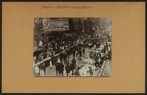
The Great White Way, New York…
Hammond's complete map of New…
Map of Flatbush Meadows : sit…
m
Metropolitan district local a…
Tracts and farms with street …
New York and vicinity roads a…
Opening Hell Gate at a cost o…
m
Map of Manhattan showing the …
Block sketch 1679, New York C…
m
Hammond's complete map of New…
m
Map of the borough of Brookly…
m
The Rand McNally map of the b…
m
The five boroughs of the city…
Rand McNally Map of Brooklyn
m
New quick reference street in…
Plan of the great meadows of …
Commission on building distri…
Maps accompanying report of M…
m
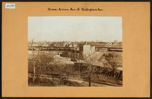
Brooklyn: 4th Avenue - Pacifi…
m
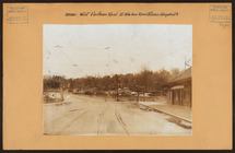
Bronx: White Plains Road - Bu…
m
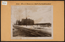
Bronx: Fordham Road (West) - …
m
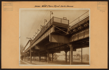
Bronx: Jerome Avenue - Shakes…
m
Bronx: Gerard Avenue - 167th …
m
Bronx: Findlay Avenue - 167th…
m
Bronx: White Plains Road - 21…
m
Bronx: Van Cortlandt Park.
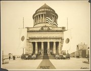
World War Commission. Japan. …
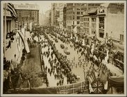
Reception to British and Fren…
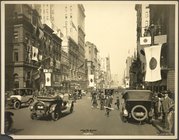
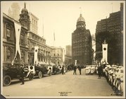
Japan. 1917. The Battery Park
World War Commission. Japan. …
World War Commission. Japan. …
World War Commission. Japan. …
m
Bronx: Bronx and Pelham Par -…
m
Bronx: 162nd Street - Sedgwic…
m
Bronx: Broadway - 242nd Stree…
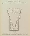
Setback principle
m
Bronx: Boston Road - Thwaites…
m
Bronx: Boston Road - Union Av…
m
Bronx: Allerton Avenue - Whit…
m
Bronx: 173rd Street (East) - …
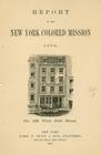
Report of the New York Colore…
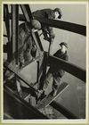
Three men welding an iron bea…
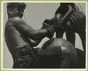
Riding the ball on Empire Sta…
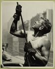
Steady!
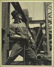
Man... turning and directing …
m
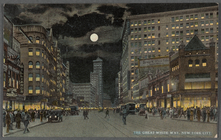
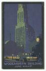
Woolworth Building June night
m
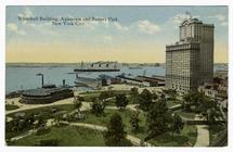
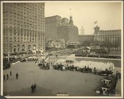
Whitehall Building, Aquarium …
m
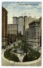
Bowling Green, New York City.
1
2
3
Previous
Next
1
2
3
Previous
Next