Click to visit the main New York Public Library Homepage
The New York Public Library
Digital Collections
About Digital Collections
Browse
Search only public domain materials
Items
Collections
Divisions
Home
Search
Browse
About
Search only public domain materials
Items
Collections
Divisions
Digital Collections
Using Images
Using Data
Search
Filtered search
Show filters
Hide filters
Show Only Public Domain
topic
x
Real property
Fire insurance
302
Cities & towns
218
Signs (Notices)
10
"Lung Block"
5
More
Less
name
G.W. Bromley & Co
1190
Sanborn Map Company
312
E.B. Hyde & Co
160
E. Belcher Hyde Map Company
156
Ullitz, Hugo
156
More
Less
collection
Atlases of New York City
1654
Atlases of the United States
52
Photographic views of New York City, 1870's-1970's, from the collections of the New York Public Library
10
Fred F. French Companies records
6
Maps of New York City and State
5
place
New York (State)
1675
New York
1457
Manhattan (New York, N.Y.)
1106
Brooklyn (New York, N.Y.)
163
New York (N.Y.)
102
More
Less
genre
Maps
1660
Atlases
52
Indexes
38
Index maps
25
Photographs
15
More
Less
publisher
G.W. Bromley & Co
1190
Sanborn Map Company
218
E. Belcher Hyde
158
Sanborn Map Co
84
G.M. Hopkins (Firm)
42
More
Less
division
Map Division
1711
Milstein Division
10
Manuscripts and Archives Division
6
type
cartographic
1695
text
60
still image
16
Date Range
to
1,727 results found
Filtering on:
x
Date
: 1916 - 1930
x
Topic
: Real property
Sort by:
Title
Date created
Date digitized
Sequence
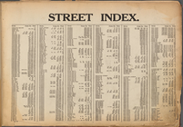
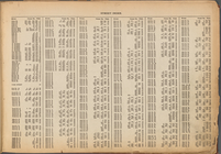
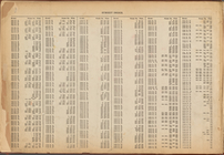
Street Index: [Abington Squar…
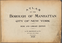
Atlas of the Borough of Manha…
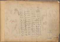
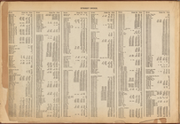
Table for Corrections
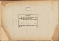
Notice of Corrections and Sup…
Street Index: [Water Street -…
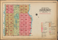
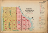
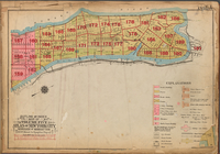
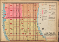
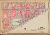
Outline and Index Map of Volu…
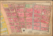
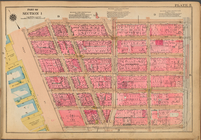
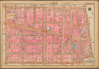
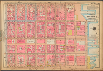
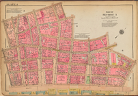
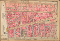
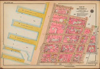
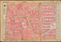
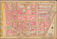
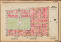
Plate 3: [Bounded by Vesey St…
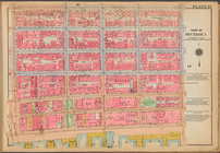
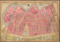
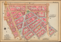
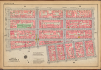
Plate 13: [Bounded by East Br…
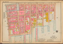
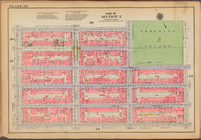
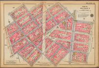
Plate 5: [Bounded by Reade St…
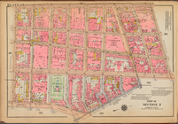
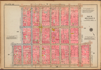
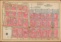
Plate 1: [Bounded by Beaver S…
Street Index: [80th Street E.…
Outline and Index Map of Volu…
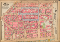
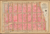
Plate 11: [Bounded by Grand S…
Plate 8: [Bounded by Franklin…
Plate 14: [Bounded by East Br…
Outline and Index Map of Volu…
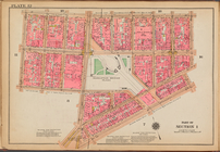
Plate 2: [Bounded by Carlisle…
Plate 6: [Bounded by Reade St…
Plate 9: [Bounded by N. Moore…
Outline and Index Map of Volu…
Plate 15: [Bounded by Stanton…
Outline and Index Map of Volu…
Plate 7: [Bounded by East Bro…
Street Index: [Haven Avenue -…
Plate 4: [Bounded by William …
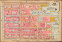
Plate 12: [Bounded by Hester …
Plate 10: [Bounded by Watts S…
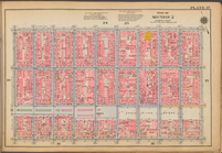
Plate 27: [Bounded by E. 14th…
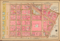
Plate 23: [Bounded by Broadwa…
Plate 29: [Bounded by E. 14th…
Plate 16: [Bounded by Broome …
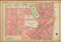
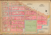
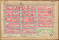
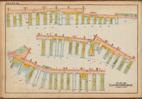
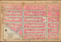
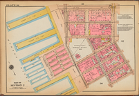
Plate 40: Plan of East River …
Plate 36: [Bounded by Jane St…
Plate 26: [Bounded by Columbi…
Plate 34: [Bounded by West St…
Plate 20: [Bounded by Prince …
Plate 30: [Bounded by E. 14th…
Plate 17: [Bounded by Stanton…
Plate 32: [Bounded by W. 14th…
Plate 38: [Bounded by W. 14th…
Plate 21: [Bounded by King St…
Plate 37: [Bounded by W. 14th…
Plate 28: [Bounded by E. 9th …
Plate 22: [Bounded by W. 3rd …
Plate 31: [Bounded by W. 8th …
Plate 24: [Bounded by E. 4th …
Plate 35: [Bounded by W. 11th…
Plate 18: [Bounded by Spring …
Plate 25: [Bounded by Clinton…
Plate 33: [Bounded by Barrow …
1
2
3
4
5
6
7
Previous
Next
1
2
3
4
5
6
7
Previous
Next