Click to visit the main New York Public Library Homepage
The New York Public Library
Digital Collections
About Digital Collections
Browse
Search only public domain materials
Items
Collections
Divisions
Home
Search
Browse
About
Search only public domain materials
Items
Collections
Divisions
Digital Collections
Using Images
Using Data
Search
Filtered search
Show filters
Hide filters
Show Only Public Domain
topic
x
Real property
Fire insurance
302
Cities & towns
218
Signs (Notices)
10
"Lung Block"
5
More
Less
name
G.W. Bromley & Co
1190
Sanborn Map Company
312
E.B. Hyde & Co
160
E. Belcher Hyde Map Company
156
Ullitz, Hugo
156
More
Less
collection
Atlases of New York City
1654
Atlases of the United States
52
Photographic views of New York City, 1870's-1970's, from the collections of the New York Public Library
10
Fred F. French Companies records
6
Maps of New York City and State
5
place
New York (State)
1675
New York
1457
Manhattan (New York, N.Y.)
1106
Brooklyn (New York, N.Y.)
163
New York (N.Y.)
102
More
Less
genre
Maps
1660
Atlases
52
Indexes
38
Index maps
25
Photographs
15
More
Less
publisher
G.W. Bromley & Co
1190
Sanborn Map Company
218
E. Belcher Hyde
158
Sanborn Map Co
84
G.M. Hopkins (Firm)
42
More
Less
division
Map Division
1711
Milstein Division
10
Manuscripts and Archives Division
6
type
cartographic
1695
text
60
still image
16
Date Range
to
1,727 results found
Filtering on:
x
Date
: 1916 - 1930
x
Topic
: Real property
Sort by:
Title
Date created
Date digitized
Sequence
Results 1501 - 1550
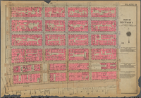
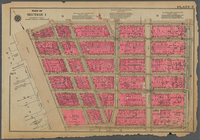
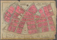
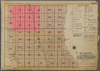
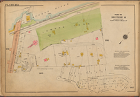
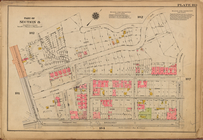
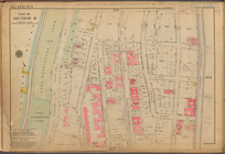
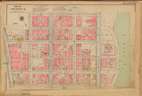
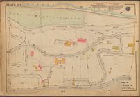
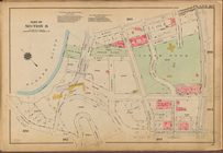
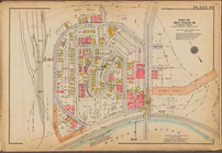
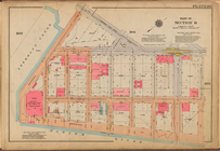
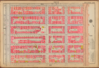
Plate 13, Part of Section 1: …
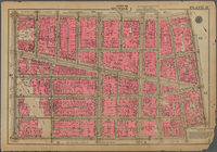
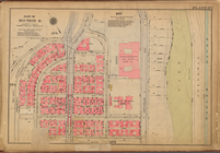
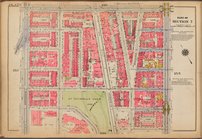
Plate 12, Part of Section 1: …
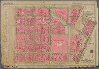
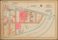
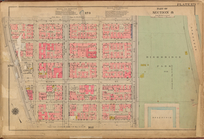
Plate 11, Part of Section 1: …
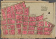
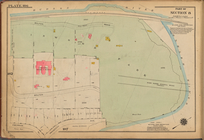
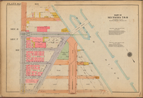
Plate 10, Part of Sections 1 …
Plate 9, Part of Section 1: […
Plate 8, Part of Section 1: […
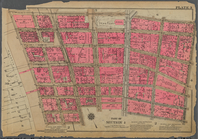
Plate 7, Part of Section 1: […
Plate 6, Part of Section 1: […
Plate 5, Part of Section 1: […
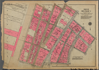
Plate 4, Part of Section 1: […
Plate 3, Part of Section 1: […
Plate 2, Part of Section 1: […
Plate 1, Part of Section 1: […
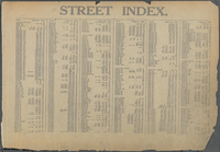
Street Index: [80th Street E.…
Street Index: [Weehawken Stre…
Street Index: [Hillside Avenu…
Street Index: [Abingdon Squar…
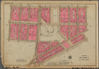
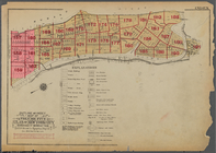
Outline and Index Map of Volu…
Outline and Index Map of Volu…
Outline and Index Map of Volu…
Outline and Index Map of Volu…
Outline and Index Map of Volu…
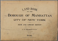
Land Book of the Borough of M…
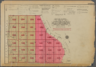
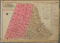
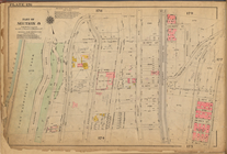
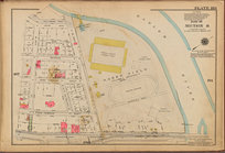
Plate 179: [Bounded by Broadw…
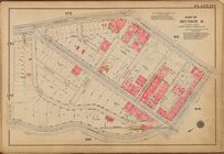
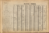
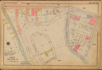
Block Index
Plate 176: [Bounded by W. 193…
Plate 188: [Bounded by W. 214…
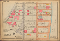
Plate 180: [Bounded by St Nic…
Plate 182: [Bounded by Hudson…
Plate 189: [Bounded by Cold S…
Plate 172: [Bounded by W. 184…
Plate 183: [Bounded by Nichol…
Plate 174: [Bounded by W. 187…
Plate 177: [Bounded by Fairvi…
Plate 190: [Bounded by Broadw…
Plate 186: [Inwood Park, with…
Plate 175: [Bounded by W. 189…
Plate 184: [Bounded by Broadw…
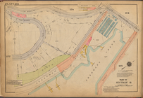
Plate 181: [Bounded by Dyckma…
Plate 173: [Bounded by W. 184…
Plate 178: [Bounded by (Hudso…
Plate 187: [Bounded by W. 215…
Plate 191: [Bounded by W. 228…
Plate 185: [Bounded by Nagle …
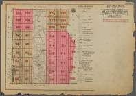
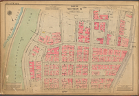
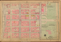
Plate 147: [Bounded by W. 133…
Plate 162: [Bounded by W. 156…
Plate 171: [Bounded by W. 178…
Plate 154: [Bounded by W. 145…
Plate 158: [Bounded by W. 151…
Plate 163: [Bounded by W. 163…
1
2
3
4
5
6
7
Previous
Next
1
2
3
4
5
6
7
Previous
Next