Click to visit the main New York Public Library Homepage
The New York Public Library
Digital Collections
About Digital Collections
Browse
Search only public domain materials
Items
Collections
Divisions
Home
Search
Browse
About
Search only public domain materials
Items
Collections
Divisions
Digital Collections
Using Images
Using Data
Search
Filtered search
Show filters
Hide filters
Show Only Public Domain
topic
Fire insurance
84
Real property
84
Farmhouses
2
Fuelwood
1
Railroad stations
1
More
Less
name
Bromley, George Washington
93
Bromley, Walter Scott
93
G.W. Bromley & Co
93
Sanborn Map Company
84
Davis, William T. (William Thompson), 1862-1945
1
More
Less
collection
Atlases of New York City
177
Photographic views of New York City, 1870's-1970's, from the collections of the New York Public Library
3
place
x
Staten Island (New York, N.Y.)
New York
86
New York (State)
86
New York (N.Y.)
3
Saint George (New York, N.Y.)
1
genre
Maps
173
Indexes
3
Photographs
3
Title pages
1
publisher
G.W. Bromley & Co
93
Sanborn Map Co
84
division
Map Division
177
Milstein Division
3
type
cartographic
173
text
4
still image
3
Date Range
to
180 results found
Filtering on:
x
Date
: 1917 - 1917
x
Place
: Staten Island (New York, N.Y.)
Sort by:
Title
Date created
Date digitized
Sequence
m
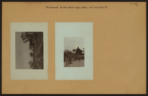
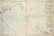
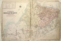
Richmond: North Washington Av…
m
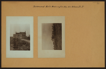
Richmond: North Washington Av…
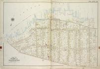
m
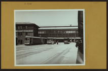
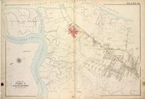
Richmond: [Staten Island] - S…
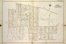
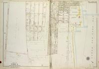
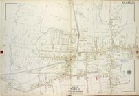
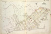
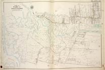
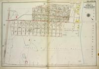
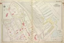
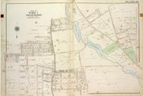
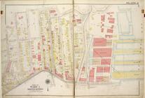
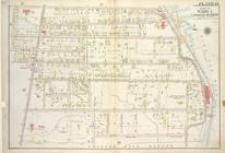
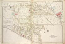
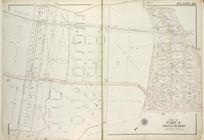
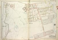
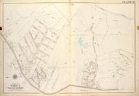
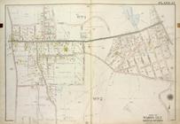
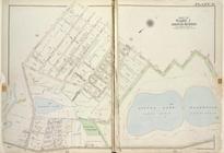
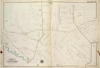
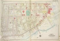
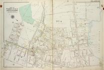
Plate 12, Part of Ward 1 [Map…
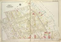
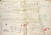
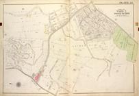
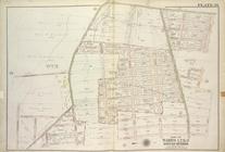
Plate 18, Part of Ward 4 [Map…
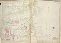
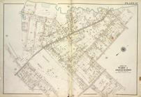
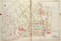
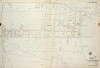
Plate 10, Part of Ward 4 [Map…
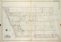
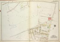
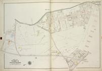
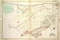
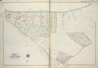
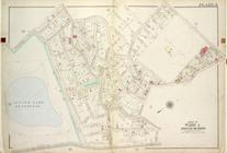
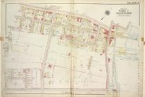
Plate 34, Part of Ward 5 [Map…
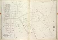
Plate 6, Part of Ward 2 [Map …
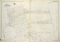
Plate 7, Part of Ward 4 [Map …
Plate 36, Part of Ward 5 [Map…
Plate 44, Part of Ward 3 [Map…
Plate 33, Part of Ward 5 [Map…
Plate 9, Part of Ward 2 [Map …
Plate 20, Part of Ward 3 [Map…
Plate 1, Part of Ward 4 [Map …
Plate 5, Part of Ward 4 [Map …
Plate 43, Part of Ward 3 [Map…
Plate 16, Part of Ward 4 [Map…
Plate 1, Part of Ward 1 [Map …
Plate 26, Part of Ward 1 [Map…
Plate 2, Part of Ward 1 [Map …
Plate 11, Part of Ward 4 [Map…
Plate 30, Part of Ward 2 [Map…
Plate 19, Part of Ward 4 [Map…
Plate 14, Part of Ward 1 [Map…
Plate 10, Part of Ward 2 [Map…
Plate 41, Part of Ward 3 [Map…
Plate 13, Part of Ward 4 [Map…
Plate 21, Part of Ward 3 [Map…
Plate 22, Part of Ward 3 [Map…
Plate 17, Part of Ward 1 [Map…
Plate 21, Part of Ward 4 [Map…
Plate 20, Part of Ward 4 [Map…
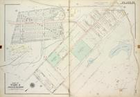
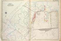
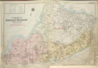
Outline & Index Map of The Bo…
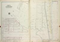
Plate 25, Part of Wards 4 & 5…
Plate 29, Part of Ward 2 [Map…
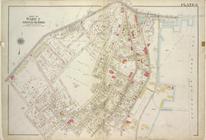
Plate 27, Part of Wards 1 & 2…
Plate 28, Part of Ward 2 [Map…
Plate 7, Part of Ward 2 [Map …
Plate 5, Part of Ward 1 [Map …
Plate 11, Part of Ward 1 [Map…
Plate 36, Part of Wards 1, 2 …
Plate 29, Part of Ward 5 [Map…
Plate 8, Part of Ward 2 [Map …
Plate 39, Part of Ward 3 [Map…
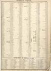
Street Index. ; Street Index …
Plate 19, Part of Ward 3. [Ma…
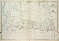
Outline & Index Map of The Bo…
Plate 23, Part of Wards 4 & 5…
Plate 38, Part of Ward 5 [Map…