Click to visit the main New York Public Library Homepage
The New York Public Library
Digital Collections
About Digital Collections
Browse
Search only public domain materials
Items
Collections
Divisions
Home
Search
Browse
About
Search only public domain materials
Items
Collections
Divisions
Digital Collections
Using Images
Using Data
Search
Filtered search
Show filters
Hide filters
Show Only Public Domain
topic
Real property
191
Fire insurance
187
Cities & towns
107
Pheasants
12
Missions
4
More
Less
name
Sanborn Map Company
187
E.B. Hyde & Co
118
Hyde, Merritt B
118
Bromley, George Washington
93
Bromley, Walter Scott
93
More
Less
collection
Atlases of New York City
317
Atlases of the United States
119
Maps of New York City and State
33
A monograph of the pheasants
12
The lure of Africa
4
More
Less
place
New York (State)
241
Staten Island (New York, N.Y.)
173
New York
134
Suffolk County (N.Y.)
118
Queens (New York, N.Y.)
38
More
Less
genre
x
Maps
Atlases
118
Topographic maps
3
Cadastral maps
2
Advertisements
1
More
Less
publisher
E. Belcher Hyde
155
Sanborn Map Company
107
G.W. Bromley & Co
93
Sanborn Map Co
80
Eng., Pub. under the auspices of the New York zoological society by Witherby & co
12
More
Less
division
Map Division
470
General Research Division
13
Schomburg Jean Blackwell Hutson Research and Reference Division
4
Billy Rose Theatre Division
1
Dorot Jewish Division
1
type
cartographic
489
text
6
still image
2
Date Range
to
489 results found
Filtering on:
x
Date
: 1917 - 1918
x
Genre
: Maps
Sort by:
Title
Date created
Date digitized
Sequence
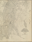
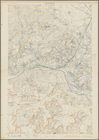
Hammond's complete map of New…
Map of Flatbush Meadows : sit…
m
Metropolitan district local a…
The Evening Mail's complete m…
Tracts and farms with street …
Opening Hell Gate at a cost o…
Rail terminal facilities in G…
m
Map of Manhattan showing the …
Block sketch 1679, New York C…
m
Hammond's complete map of New…
m
Hammond's complete map of New…
m
Map of the borough of Brookly…
m
The Rand McNally map of the b…
m
The five boroughs of the city…
Rand McNally Map of Brooklyn
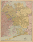
Relief map of New York and vi…
Plan of the great meadows of …
Map of borough of Queens
m
New York City subway map with…
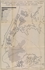
Map showing comparison betwee…
Cessières
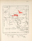
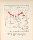
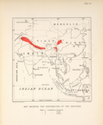
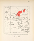
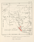
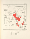
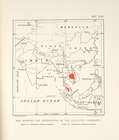
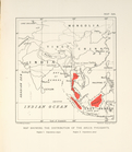
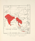
Map showing the distribution …
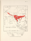
Map showing the distribution …
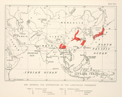
Map showing the distribution …
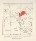
Map showing the distribution …
Map showing the distribution …
Map showing the distribution …
Map showing the distribution …
Map showing the distribution …
Map showing the distribution …
Map schowing the distribution…
Map showing the distribution …
Map showing the distribution …
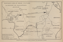
Proposed lines of Mission sta…
Zones of Mohammedan and Chris…
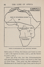
Johannesburg―the Hub of South…
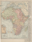
Africa
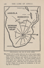
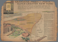
Grandiose Project for a Super…
m
Borough of Manhattan [and] th…
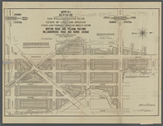
Vicinity of Grand Central Ter…
Block sketch 1679, showing a …
m
Hotel Zone Map of New York Ci…
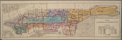
Map of the Borough of Manhatt…
Petersen's new map of the Bro…
m
Estate of Lorillard Spencer.
m
Ohman's Standard Map of the B…
m
Williamsbridge Farm.
Map of the Woodlawn Cemetery.
Petersen's new map of the Bro…
Map of borough of Queens. Rev…
1
2
Previous
Next
1
2
Previous
Next