Click to visit the main New York Public Library Homepage
The New York Public Library
Digital Collections
About Digital Collections
Browse
Search only public domain materials
Items
Collections
Divisions
Home
Search
Browse
About
Search only public domain materials
Items
Collections
Divisions
Digital Collections
Using Images
Using Data
Search
Filtered search
Show filters
Hide filters
Show Only Public Domain
topic
Real property
270
Maps
215
Local transit
7
Railroads
7
Railroads, Elevated
7
More
Less
name
G.W. Bromley & Co
269
New York (N.Y.). Board of Estimate and Apportionment
220
Fairchild Aerial Camera Corporation
127
New York (N.Y.). Bureau of Engineering
127
Tuttle, Arthur S. (Arthur Smith), 1865-1949
127
More
Less
collection
Atlases of New York City
614
Maps of New York City and State
20
William J. Wilgus papers
2
I. N. Phelps Stokes Collection of American Historical Prints
1
Washington Heights, Manhattan, its eventful past
1
place
x
New York (N.Y.)
New York (State)
290
Bronx (New York, N.Y.)
182
New York
112
Manhattan (New York, N.Y.)
100
More
Less
genre
Maps
632
Index maps
8
Indexes
4
Outline maps
3
Aerial views
2
More
Less
publisher
G.W. Bromley & Co
269
M.B. Brown Printing & Binding Co.,
109
New York (N.Y.). Board of Estimate and Apportionment
73
The Board,
36
C.S. Hammond & Co
3
More
Less
division
Map Division
634
Manuscripts and Archives Division
2
Milstein Division
1
Wallach Division: Print Collection
1
type
x
cartographic
text
8
still image
2
Date Range
to
638 results found
Filtering on:
x
Date
: 1917 - 1942
x
Place
: New York (N.Y.)
x
Type
: cartographic
Sort by:
Title
Date created
Date digitized
Sequence
Hammond's complete map of New…
Educational extension work of…
The Evening Mail's complete m…
Rail terminal facilities in G…
Most extraordinary [camera sh…
m
Hammond's complete map of New…
m
The Rand McNally map of the b…
m
The five boroughs of the city…
Rand McNally Map of Brooklyn
m
The Wanamaker diary map of Ne…
m
Hagstrom's map of upper New Y…
The Narrows tunnel : chart of…
Proposed location of the Narr…
Freight terminal map of the P…
Block no. 86 : confidential r…
m
Street guide of Manhattan and…
Greater New York's Census dis…
Hagstrom's map of ... New Yor…
Map of Proposed Belt Railways…
Preliminary Study for a Great…
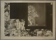
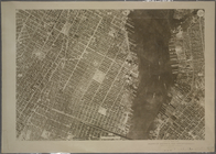
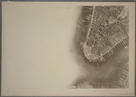
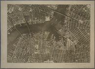
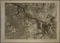
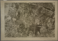
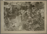
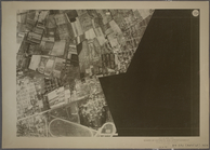
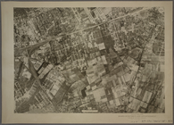
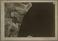
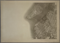
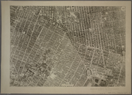
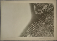
9B - N.Y. City (Aerial Set).
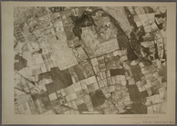
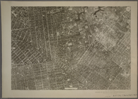
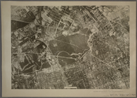
9C - N.Y. City (Aerial Set).
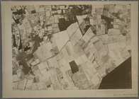
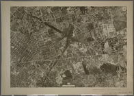
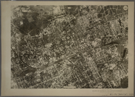
9D - N.Y. City (Aerial Set).
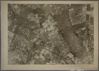
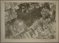
10A - N.Y. City (Aerial Set).
10B - N.Y. City (Aerial Set).
10C - N.Y. City (Aerial Set).
10D - N.Y. City (Aerial Set).
11A - N.Y. City (Aerial Set).
11B - N.Y. City (Aerial Set).
11C - N.Y. City (Aerial Set).
11D - N.Y. City (Aerial Set).
12A - N.Y. City (Aerial Set).
12B - N.Y. City (Aerial Set).
12C - N.Y. City (Aerial Set).
12D - N.Y. City (Aerial Set).
13A - N.Y. City (Aerial Set).
13B - N.Y. City (Aerial Set).
13C - N.Y. City (Aerial Set).
13D - N.Y. City (Aerial Set).
14A - N.Y. City (Aerial Set).
14B - N.Y. City (Aerial Set).
14C - N.Y. City (Aerial Set).
14D - N.Y. City (Aerial Set).
15A - N.Y. City (Aerial Set).
15B - N.Y. City (Aerial Set).
15C - N.Y. City (Aerial Set).
15D - N.Y. City (Aerial Set).
16A - N.Y. City (Aerial Set).
16B - N.Y. City (Aerial Set).
16C - N.Y. City (Aerial Set).
1
2
3
Previous
Next
1
2
3
Previous
Next