Click to visit the main New York Public Library Homepage
The New York Public Library
Digital Collections
About Digital Collections
Browse
Search only public domain materials
Items
Collections
Divisions
Home
Search
Browse
About
Search only public domain materials
Items
Collections
Divisions
Digital Collections
Using Images
Using Data
Search
Filtered search
Show filters
Hide filters
Show Only Public Domain
topic
Real property
217
Railroads
16
Railroads, Elevated
12
Subways
7
Trolley cars
7
More
Less
name
G.W. Bromley & Co
176
Bromley, George Washington
91
Bromley, Walter Scott
91
E. Belcher Hyde Map Company
40
E.B. Hyde & Co
40
More
Less
collection
Atlases of New York City
216
Maps of New York City and State
52
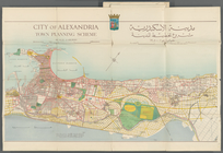
City of Alexandria town planning scheme
3
Atlases of the United States
1
Automobile blue book
1
More
Less
place
New York (State)
245
New York
243
Manhattan (New York, N.Y.)
100
New York (N.Y.)
98
Bronx (New York, N.Y.)
88
More
Less
genre
Maps
271
Index maps
4
Mass transit
3
Outline maps
3
Road maps
3
More
Less
publisher
G.W. Bromley & Co
176
E. Belcher Hyde
40
The Company
9
Government press
3
A. R. Ohman Map Co., H.B. Petersen, Daughtsmen & Engravers,
2
More
Less
division
Map Division
270
General Research Division
4
type
x
cartographic
text
6
still image
1
Date Range
to
274 results found
Filtering on:
x
Date
: 1920 - 1921
x
Type
: cartographic
Sort by:
Title
Date created
Date digitized
Sequence
m
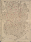
Hammond's complete map of Bro…
Map of the borough of Brookly…
Hammond's handy reference map…
m
Freight map of the metropolit…
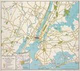
Map of New York City and vici…
Educational extension work of…
Map of the suburban territory…
Brooklyn, from Rand McNally m…
Rand McNally official 1921 au…
Hammond's handy reference map…
Map of the borough of Brookly…
m
Map showing 50 miles around N…
Port of New York Authority : …
m
Proposed belt lines for the P…
Street guide of Brooklyn : wi…
American Automobile Associati…
Rand Mcnally official detaile…
m
Rand McNally official motor g…
m
Map of the borough of Brookly…
Transportation lines connecti…
m
The Wanamaker diary map of Ne…
m
Hagstrom's map of upper New Y…
m
Financial district map of New…
Map of the borough of Manhatt…
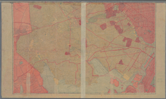
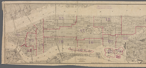
Block no. 86 : confidential r…
m
Street guide of Manhattan and…
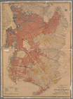
Greater New York's Census dis…
Hagstrom's map of ... New Yor…
Chief Points of Interest in L…
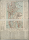
City of Alexandria Town Plann…
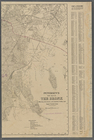
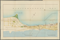
Mediterranean Sea. Lake Maryu…
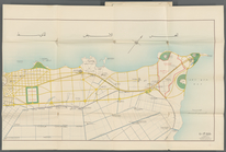
Alexandria Municipality, 8th …
Map of Cape Cod and vicinity
m
Map of the Borough of Brookly…
m
Map of routes to the Holland …
Hammond's complete map of Sta…
Richmond Borough Congressiona…
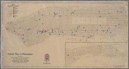
Health map of Manhattan: prep…
m
Street guide of Manhattan and…
m
Map of Boroughs of Manhattan …
m
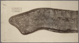
Aerial survey, Manhattan Isla…
Map of the Borough of Brookly…
Map of Manhattan south of 23r…
m
New York City, Congressional …
Van Cortlandt Estate to be so…
New Map of the Borough of the…
Fishing map of City Island wa…
[View of the Kingsbridge sect…
m
Petersen's New Map of the Bro…
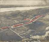
Panorama of the Borough of th…
1
2
Previous
Next
1
2
Previous
Next