Click to visit the main New York Public Library Homepage
The New York Public Library
Digital Collections
About Digital Collections
Browse
Search only public domain materials
Items
Collections
Divisions
Home
Search
Browse
About
Search only public domain materials
Items
Collections
Divisions
Digital Collections
Using Images
Using Data
Search
Filtered search
Show filters
Hide filters
Show Only Public Domain
topic
Real property
4722
Fire insurance
3260
Cities & towns
3259
Maps
270
Zoning
110
More
Less
name
Sanborn Map Company
3270
G.W. Bromley & Co
1363
New York (N.Y.). Board of Estimate and Apportionment
220
Fairchild Aerial Camera Corporation
127
New York (N.Y.). Bureau of Engineering
127
More
Less
collection
Atlases of New York City
5312
Atlases of the United States
144
Maps of New York City and State
97
Cigarette cards
51
A monograph of the pheasants
19
More
Less
place
New York (State)
4853
New York
1208
Manhattan (New York, N.Y.)
1114
New York (N.Y.)
991
Bronx (New York, N.Y.)
266
More
Less
genre
Maps
5674
Atlases
143
Advertisements
51
Advertising cards
51
Cards
51
More
Less
publisher
Sanborn Map Company
3259
G.W. Bromley & Co
1363
New York (N.Y.). Board of Estimate and Apportionment
147
M.B. Brown Printing & Binding Co.,
109
The Suvery
52
More
Less
division
Map Division
5583
George Arents Collection
51
Manuscripts and Archives Division
38
General Research Division
37
Milstein Division
7
More
Less
type
x
cartographic
text
146
still image
65
Date Range
to
5,730 results found
Filtering on:
x
Date
: 1920 - 1959
x
Type
: cartographic
Sort by:
Title
Date created
Date digitized
Sequence
Results 251 - 300
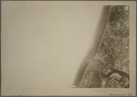
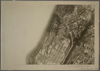
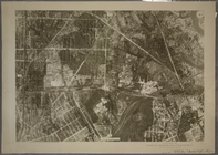
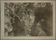
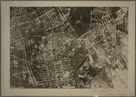
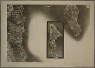
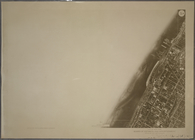
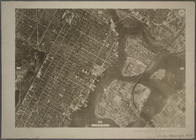
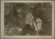
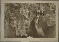
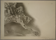
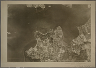
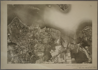
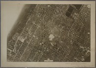
1A - N.Y. City (Aerial Set).
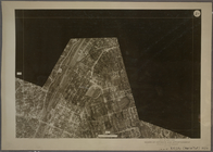
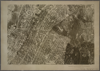
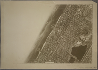
1B - N.Y. City (Aerial Set).
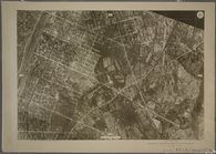
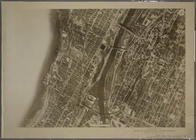
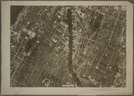
1C - N.Y. City (Aerial Set).
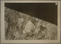
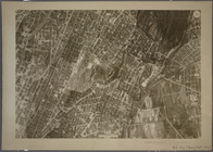
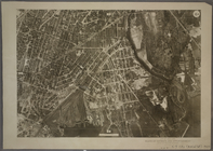
2A - N.Y. City (Aerial Set).
2C - N.Y. City (Aerial Set).
2D - N.Y. City (Aerial Set).
3A - N.Y. City (Aerial Set).
3B - N.Y. City (Aerial Set).
3C - N.Y. City (Aerial Set).
3D - N.Y. City (Aerial Set).
4A - N.Y. City (Aerial Set).
4B - N.Y. City (Aerial Set).
4C - N.Y. City (Aerial Set).
4D - N.Y. City (Aerial Set).
5B - N.Y. City (Aerial Set).
5D - N.Y. City (Aerial Set).
6A - N.Y. City (Aerial Set).
6B - N.Y. City (Aerial Set).
6C - N.Y. City (Aerial Set).
6D - N.Y. City (Aerial Set).
7A - N.Y. City (Aerial Set).
7B - N.Y. City (Aerial Set).
7C - N.Y. City (Aerial Set).
7D - N.Y. City (Aerial Set).
8A - N.Y. City (Aerial Set).
8B - N.Y. City (Aerial Set).
8C - N.Y. City (Aerial Set).
8D - N.Y. City (Aerial Set).
9A - N.Y. City (Aerial Set).
m
Hagstrom's map of Queens N.Y.…
m
Hagstrom's map of Brooklyn (N…
m
Shell street guide of Brookly…
m
Hagstrom's map of Long Island…
m
Hagstom's map of Long Island …
Per cent of Negroes in total …
Percentage of Negroes in the …
Map showing the density of sl…
Per cent of negroes in total …
New York herald tribune: Euro…
m
Asia Minor and Southeastern E…
m
Map of the business district …
m
Daily menu menu, New York Cen…
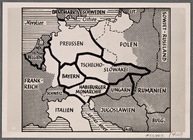
This is how the warmongers wo…
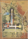
Plan of development, frontisp…
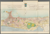
City of Alexandria Town Plann…
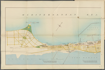
Mediterranean Sea. Lake Maryu…
Alexandria Municipality, 8th …
m
Opening Africa
m
South and Central Africa
Map of Cape Cod and vicinity
1
2
3
4
5
6
7
8
9
10
…
22
23
Previous
Next
1
2
3
4
5
6
7
8
9
10
…
22
23
Previous
Next