Click to visit the main New York Public Library Homepage
The New York Public Library
Digital Collections
About Digital Collections
Browse
Search only public domain materials
Items
Collections
Divisions
Home
Search
Browse
About
Search only public domain materials
Items
Collections
Divisions
Digital Collections
Using Images
Using Data
Search
Filtered search
Show filters
Hide filters
Show Only Public Domain
topic
Real property
1040
City planning
943
Social conditions
942
Zoning
111
Railroads
18
More
Less
name
G.W. Bromley & Co
988
M.I.T. Press
942
New York (N.Y.). City Planning Commission
942
Bromley, George Washington
91
Bromley, Walter Scott
91
More
Less
collection
Atlases of New York City
2091
Maps of New York City and State
46
place
x
New York
New York (State)
2137
New York (N.Y.)
1044
Manhattan (New York, N.Y.)
911
Bronx (New York, N.Y.)
91
More
Less
genre
Maps
2104
Indexes
23
Index maps
20
Title pages
8
Mass transit
3
More
Less
publisher
G.W. Bromley & Co
988
MIT Press
942
New York (N.Y.). Board of Estimate and Apportionment
74
E. Belcher Hyde
45
Board of Estimate and Apportionment
37
More
Less
division
x
Map Division
type
cartographic
1187
still image
943
text
38
Date Range
to
2,137 results found
Filtering on:
x
Date
: 1920 - 2000
x
Division
: Map Division
x
Place
: New York
Sort by:
Title
Date created
Date digitized
Sequence
m
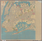
Hammond's complete map of Bro…
Map of the borough of Brookly…
Hammond's handy reference map…
Map of New York City and vici…
Educational extension work of…
Map of the comprehensive plan…
m
The John Wanamaker automobile…
Map of the suburban territory…
Brooklyn, from Rand McNally m…
Hammond's handy reference map…
Map showing suggested connect…
Map of the borough of Brookly…
Port of New York Authority : …
m
Proposed belt lines for the P…
Street guide of Brooklyn : wi…
American Automobile Associati…
Track map of the trolley line…
Rand Mcnally official detaile…
m
Rand McNally official motor g…
m
Map of the borough of Brookly…
Transportation lines connecti…
m
The Wanamaker diary map of Ne…
m
Hagstrom's map of upper New Y…
The Narrows tunnel : chart of…
Proposed location of the Narr…
Hagstrom's New York house-num…
m
Financial district map of New…
Map of the borough of Manhatt…
Block no. 86 : confidential r…
m
Street guide of Manhattan and…
Map of portion of greater New…
Greater New York's Census dis…
m
Hudson River vehicular tunnel…
Hagstrom's map of ... New Yor…
m
Map of original grants and fa…
m
Hagstrom's map of Queens N.Y.…
m
Hagstrom's map of Brooklyn (N…
m
Shell street guide of Brookly…
Industrial map of New York Ci…
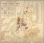
City of New Manhattan : propo…
m
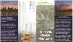
Hudson River Park, Hudson Riv…
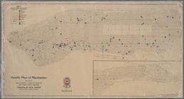
Health map of Manhattan: prep…
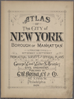
Atlas of the city of New York…
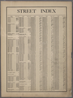
Street index: [Astor Court - …
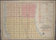
Outline and Index Map of Atla…
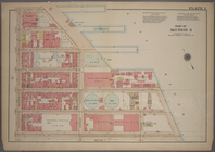
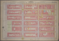
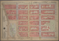
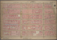
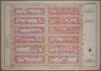
Plate 1, Part of Section 3: […
Plate 2, Part of Section 3: […
Plate 3, Part of Section 3: […
Plate 4, Part of Section 3: […
Plate 5, Part of Section 3: […
1
2
3
4
5
6
7
8
9
Previous
Next
1
2
3
4
5
6
7
8
9
Previous
Next