Click to visit the main New York Public Library Homepage
The New York Public Library
Digital Collections
About Digital Collections
Browse
Search only public domain materials
Items
Collections
Divisions
Home
Search
Browse
About
Search only public domain materials
Items
Collections
Divisions
Digital Collections
Using Images
Using Data
Search
Filtered search
Show filters
Hide filters
Show Only Public Domain
topic
Real property
4691
Fire insurance
3261
Cities & towns
3260
Waterfalls
1691
Tourism
1336
More
Less
name
Sanborn Map Company
3261
Federal Art Project (New York, N.Y.)
2094
Abbott, Berenice, 1898-1991
2092
G.W. Bromley & Co
1377
E. & H.T. Anthony (Firm)
1043
More
Less
collection
Robert N. Dennis collection of stereoscopic views
8277
Atlases of New York City
4687
Changing New York
2073
New York Public Library Visual Materials
364
Detroit Publishing Company postcards
229
More
Less
place
x
New York (State)
New York
5659
New York (N.Y.)
5429
Manhattan (New York, N.Y.)
4599
Niagara Falls (N.Y. and Ont.)
2364
More
Less
genre
Photographs
10816
Stereographs
8277
Maps
4696
Postcards
268
Indexes
32
More
Less
publisher
Sanborn Map Company
3260
G.W. Bromley & Co
1377
Baker & Record
276
Detroit Publishing Company
229
R.D. Crum
144
More
Less
division
Wallach Division: Photography Collection
10578
Map Division
4739
NYPL Archives
364
Milstein Division
86
Wallach Division: Picture Collection
39
More
Less
type
still image
11131
cartographic
4728
text
124
Date Range
to
15,900 results found
Filtering on:
x
Date
: 1920 - 2010
x
Place
: New York (State)
x
Rights
: Public Domain
Sort by:
Title
Date created
Date digitized
Sequence
m
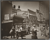
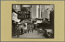
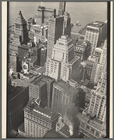
Union Square, 14th Street and…
m
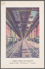
Shutters of Steel: Third Aven…
m
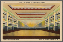
Grand "Colorama" Ballroom: Ho…
m
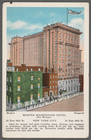
Martha Washington Hotel (for …
m
Hammond's complete map of Bro…
Map of the borough of Brookly…
Hammond's handy reference map…
Map of New York City and vici…
Educational extension work of…
Map of the comprehensive plan…
m
The John Wanamaker automobile…
Map of the suburban territory…
Brooklyn, from Rand McNally m…
Rand McNally official 1921 au…
Hammond's handy reference map…
Map showing suggested connect…
Map of the borough of Brookly…
Port of New York Authority : …
m
Proposed belt lines for the P…
Hagstrom's map of 50 mile rad…
Street guide of Brooklyn : wi…
American Automobile Associati…
Track map of the trolley line…
Rand Mcnally official detaile…
m
Rand McNally official motor g…
m
Map of the borough of Brookly…
Transportation lines connecti…
m
Brooklyn: Emmons Avenue - She…
m
The Wanamaker diary map of Ne…
m
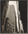
Stone and Williams Streets
m
Wall Street, showing East Riv…
m
Daily News Building, 42nd Str…
Manhattan Bridge, From Bowery…
m
Williamsburg Bridge, South Ei…
m
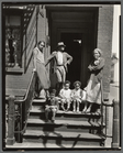
Travelling tin shop, Brooklyn…
m
Triborough Bridge, (Cables)
m
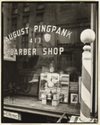
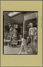
Pingpank Barber Shop, 413 Ble…
m
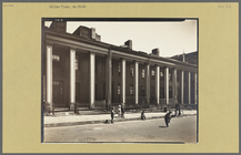
Willow Place, Nos. 43-49
m
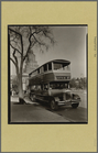
Fifth Avenue Bus, Washington …
m
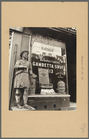
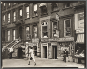
Snuff Shop, 113 Division stre…
m
Radio Row, Cortlandt Street
m
Vista from West Street, 115-1…
m
Sumner Healy Antique Shop, 94…
m
Waterfront, From roof of Irvi…
m
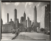
Manhattan Skyline: I, South S…
m
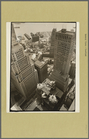
Financial District Rooftops: …
m
Jay Street, No. 115
m
Pine Street: U. S. Treasury i…
m
Harlem Street: II, 422-424 Le…
m
Allen Street, #55-57
1
2
3
4
5
6
7
8
9
10
…
63
64
Previous
Next
1
2
3
4
5
6
7
8
9
10
…
63
64
Previous
Next