Click to visit the main New York Public Library Homepage
The New York Public Library
Digital Collections
About Digital Collections
Browse
Search only public domain materials
Items
Collections
Divisions
Home
Search
Browse
About
Search only public domain materials
Items
Collections
Divisions
Digital Collections
Using Images
Using Data
Search
Filtered search
Show filters
Hide filters
Show Only Public Domain
topic
Railroads
8
Railroads, Elevated
4
Roads
4
Tunnels
4
Local transit
3
More
Less
name
Geological Survey (U.S.)
3
Hagstrom Company
3
Hagstrom Map Company
3
New York (N.Y.). Board of Estimate and Apportionment
2
Ohman Map Co
2
More
Less
collection
x
Maps of New York City and State
place
New York (State)
21
New York
17
New York Metropolitan Area
7
Brooklyn (New York, N.Y.)
5
New York (N.Y.)
5
More
Less
genre
Maps
42
Aerial views
2
Mass transit
2
Diagrams
1
Pamphlets
1
More
Less
publisher
A.G. Hagstrom Co
3
The Board
3
The Survey
3
The Company
2
A. G. Hagstrom
1
More
Less
division
Map Division
42
type
x
cartographic
still image
2
text
1
Date Range
to
42 results found
Filtering on:
x
Date
: 1922 - 1938
x
Collection
: Maps of New York City and State
x
Type
: cartographic
For more collection details, visit the
Maps of New York City and State collection page
.
Sort by:
Title
Date created
Date digitized
Sequence
m
Hammond's complete map of Bro…
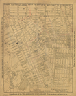
Map of the borough of Brookly…
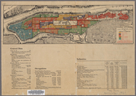
Map of the comprehensive plan…
m
The John Wanamaker automobile…
Map showing suggested connect…
Most extraordinary [camera sh…
m
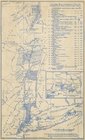
Map showing 50 miles around N…
Hagstrom's map of 50 mile rad…
m
Map of the borough of Brookly…
Transportation lines connecti…
The Narrows tunnel : chart of…
Proposed location of the Narr…
Hagstrom's New York house-num…
m
Hudson River vehicular tunnel…
Hagstrom's map of ... New Yor…
m
Map of original grants and fa…
m
Hagstrom's map of Brooklyn (N…
m
Hagstom's map of Long Island …
Staten Island, N.Y., ed. of F…
Santanoni, ed. of Mar. 1904, …
Paterson, N.J. - N.Y., ed. of…
Industrial map of New York Ci…
City of New Manhattan : propo…
m
Map of routes to the Holland …
Playland," Rye Beach : Westch…
m
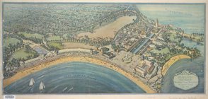
New York City, photographed f…
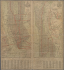
Map of New York City (Manhatt…
Map of the Borough of Manhatt…
Map of New York City [Manhatt…
Ohman's Standard Map of the B…
Map of the Bronx, showing the…
m
Map of Brooklyn, House Number…
Hagstrom's Map of Queens, cit…
Romance map of the Hudson Riv…
"Where all the Village meet t…
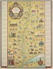
Patroonships, manors and seig…
m
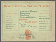
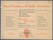
Real Estate at Public Auction
m
Real Estate at Public Auction
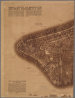
Manhattan, first city in Amer…
m
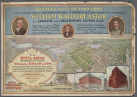
Trustees Sale of 1669 Lots to…
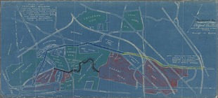
Plan of proposed boulevard co…
Hagstrom's map of the Bronx, …
End of results
|
Top