Click to visit the main New York Public Library Homepage
The New York Public Library
Digital Collections
About Digital Collections
Browse
Search only public domain materials
Items
Collections
Divisions
Home
Search
Browse
About
Search only public domain materials
Items
Collections
Divisions
Digital Collections
Using Images
Using Data
Search
Filtered search
Show filters
Hide filters
Show Only Public Domain
topic
Real property
4216
Fire insurance
3260
Cities & towns
3259
Maps
180
Zoning
110
More
Less
name
Sanborn Map Company
3270
G.W. Bromley & Co
897
New York (N.Y.). Board of Estimate and Apportionment
220
Fairchild Aerial Camera Corporation
127
New York (N.Y.). Bureau of Engineering
127
More
Less
collection
Atlases of New York City
4619
Atlases of the United States
141
Maps of New York City and State
42
A monograph of the pheasants
19
New York World's Fair 1939 and 1940 Incorporated records
16
More
Less
place
New York (State)
4315
New York
962
Manhattan (New York, N.Y.)
812
New York (N.Y.)
443
New Jersey
108
More
Less
genre
Maps
4828
Atlases
140
Index maps
22
Indexes
21
Plans
12
More
Less
publisher
Sanborn Map Company
3259
G.W. Bromley & Co
897
New York (N.Y.). Board of Estimate and Apportionment
147
M.B. Brown Printing & Binding Co.,
109
The Suvery
52
More
Less
division
Map Division
4809
General Research Division
25
Manuscripts and Archives Division
19
Schomburg Jean Blackwell Hutson Research and Reference Division
4
Milstein Division
3
More
Less
type
x
cartographic
text
32
still image
6
Date Range
to
4,862 results found
Filtering on:
x
Date
: 1922 - 1938
x
Type
: cartographic
Sort by:
Title
Date created
Date digitized
Sequence
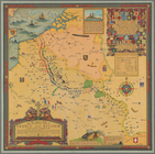
Paris, ses monuments : guide …
m
Knickerbocker Village
m
Il dirigibile "Norge" alla sc…
m
Hammond's complete map of Bro…
Map of the borough of Brookly…
Map of the comprehensive plan…
m
The John Wanamaker automobile…
Geroicheskiĭ pokhod
Map showing suggested connect…
Most extraordinary [camera sh…
m
Map showing 50 miles around N…
Hagstrom's map of 50 mile rad…
m
Map of the borough of Brookly…
Transportation lines connecti…
The Narrows tunnel : chart of…
Proposed location of the Narr…
Hagstrom's New York house-num…
m
Hudson River vehicular tunnel…
Hagstrom's map of ... New Yor…
m
Map of original grants and fa…
m
Olympia stadtplan von Berlin
Nastoiashchee I budushchee Ka…
Map showing "52 Gramercy Park…
aert vande Svyd Rivier in Nie…
The great war map of battle l…
Map of Proposed Belt Railways…
Preliminary Study for a Great…
Map showing Ward's Island sup…
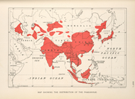
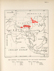
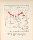
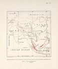
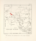
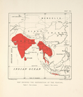
Map showing the distribution …
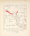
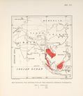
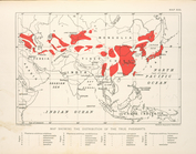
Map showing the distribution …
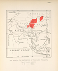
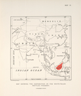
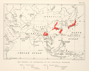
Map showing the distribution …
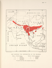
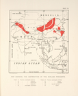
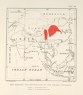
Map showing the distribution …
Map showing the distribution …
Map showing the distribution …
Map showing the distrubution …
Map showing the distribution …
Map showing the distribution …
Map showing the distrubution …
Map showing the distribution …
Map showing the distribution …
Map showing the distribution …
Map showing the distribution …
Map showing the distribution …
Map showing the distribution …
Map schowing the distribution…
Map showing the distribution …
Map showing the distribution …
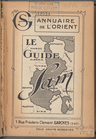
Le Guide Sam: 1924, [Title pa…
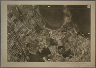
9B - N.Y. City (Aerial Set).
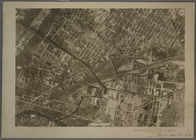
9C - N.Y. City (Aerial Set).
1
2
3
4
5
6
7
8
9
10
…
19
20
Previous
Next
1
2
3
4
5
6
7
8
9
10
…
19
20
Previous
Next