Click to visit the main New York Public Library Homepage
The New York Public Library
Digital Collections
About Digital Collections
Browse
Search only public domain materials
Items
Collections
Divisions
Home
Search
Browse
About
Search only public domain materials
Items
Collections
Divisions
Digital Collections
Using Images
Using Data
Search
Filtered search
Show filters
Hide filters
Show Only Public Domain
topic
Real property
208
Zoning
111
Street addresses
4
Railroads
3
Railroads, Elevated
3
More
Less
name
G.W. Bromley & Co
202
E.B. Hyde & Co
4
Hyde, E. Belcher
2
A.G. Hagstrom Co
1
C.S. Hammond & Company
1
More
Less
collection
Atlases of New York City
319
Maps of New York City and State
9
place
x
New York (State)
New York
326
Manhattan (New York, N.Y.)
204
Brooklyn (New York, N.Y.)
7
New York Metropolitan Area
4
More
Less
genre
Maps
320
Index maps
6
Indexes
5
Book covers
2
Mass transit
2
More
Less
publisher
G.W. Bromley & Co
202
New York (N.Y.). Board of Estimate and Apportionment
74
Board of Estimate and Apportionment
37
E. Belcher Hyde Map Co
4
E. Belcher Hyde
2
More
Less
division
x
Map Division
type
cartographic
327
text
8
Date Range
to
328 results found
Filtering on:
x
Date
: 1927 - 1929
x
Division
: Map Division
x
Place
: New York (State)
Sort by:
Title
Date created
Date digitized
Sequence
m
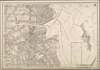
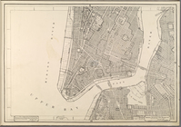
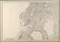
Hammond's complete map of Bro…
Map of the borough of Brookly…
m
The John Wanamaker automobile…
Hagstrom's map of 50 mile rad…
m
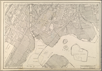
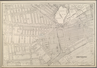
Map of the borough of Brookly…
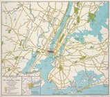
Transportation lines connecti…
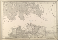
Hagstrom's map of ... New Yor…
m
Map of original grants and fa…
m
Map of routes to the Holland …
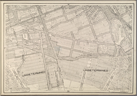
Map bounded by Pacific St., S…
Map bounded by Fulton St., Ro…
Map bounded by Dean St., Roch…
Index map to volume one. Atla…
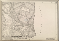
[Map bounded by Crescent St.,…
Map bounded by Bainbridge St.…
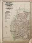
City of New York. Board of Es…
City of New York. Board of Es…
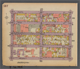
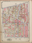
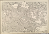
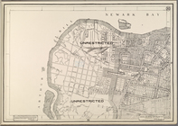
Use District Map Section No. 1
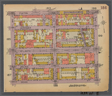
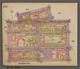
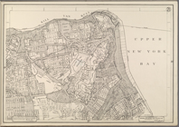
Use District Map Section No. 2
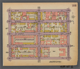
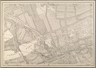
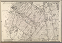
Use District Map Section No. 3
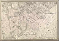
Use District Map Section No. 4
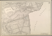
Use District Map Section No. 5
Use District Map Section No. 6
Use District Map Section No. 7
Use District Map Section No. 8
Use District Map Section No. 9
Use District Map Section No. …
Use District Map Section No. …
Use District Map Section No. …
Use District Map Section No. …
Use District Map Section No. …
Use District Map Section No. …
Use District Map Section No. …
Use District Map Section No. …
Use District Map Section No. …
Use District Map Section No. …
Use District Map Section No. …
Use District Map Section No. …
Use District Map Section No. …
Use District Map Section No. …
Use District Map Section No. …
Use District Map Section No. …
Use District Map Section No. …
Use District Map Section No. …
Use District Map Section No. …
Use District Map Section No. …
Use District Map Section No. …
Use District Map Section No. …
Use District Map Section No. …
Use District Map Section No. …
1
2
Previous
Next
1
2
Previous
Next