Click to visit the main New York Public Library Homepage
The New York Public Library
Digital Collections
About Digital Collections
Browse
Search only public domain materials
Items
Collections
Divisions
Home
Search
Browse
About
Search only public domain materials
Items
Collections
Divisions
Digital Collections
Using Images
Using Data
Search
Filtered search
Show filters
Hide filters
Show Only Public Domain
topic
Elevated railroads
241
Real property
212
Educational facilities
183
Public schools
122
Zoning
111
More
Less
name
Sperr, Percy Loomis, 1890-1964
933
G.W. Bromley & Co
202
New York Public Library
91
Ewing Galloway (Agency)
44
New York Public Library. Branch Libraries
24
More
Less
collection
Photographic views of New York City, 1870's-1970's, from the collections of the New York Public Library
1206
Atlases of New York City
319
New York Public Library Visual Materials
91
Photographic views of the United States
22
Collection of photographs of New York City
16
More
Less
place
x
New York (State)
New York
1655
New York (N.Y.)
1319
Manhattan (New York, N.Y.)
919
Staten Island (New York, N.Y.)
131
More
Less
genre
Photographs
1365
Maps
320
Index maps
6
Indexes
5
Portraits
4
More
Less
publisher
G.W. Bromley & Co
202
New York (N.Y.). Board of Estimate and Apportionment
74
Board of Estimate and Apportionment
37
E. Belcher Hyde Map Co
4
E. Belcher Hyde
2
More
Less
division
Milstein Division
1244
Map Division
328
NYPL Archives
91
General Research Division
15
Schomburg Photographs and Prints Division
10
More
Less
type
still image
1374
cartographic
327
text
14
Date Range
to
1,705 results found
Filtering on:
x
Date
: 1927 - 1929
x
Place
: New York (State)
Sort by:
Title
Date created
Date digitized
Sequence
Results 1251 - 1300
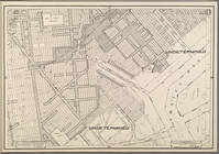
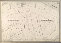
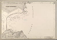
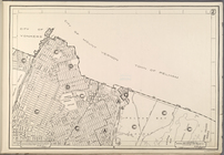
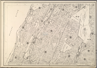
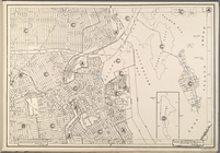
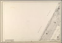
Use District Map Section No. …
Use District Map Section No. …
Use District Map Section No. …
Use District Map Section No. …
Use District Map Section No. …
Use District Map Section No. …
Use District Map Section No. …
Use District Map Section No. …
Use District Map Section No. …
Use District Map Section No. …
Use District Map Section No. …
Use District Map Section No. …
Use District Map Section No. …
Use District Map Section No. …
Use District Map Section No. …
Use District Map Section No. …
Use District Map Section No. …
Use District Map Section No. …
Use District Map Section No. …
Use District Map Section No. …
Use District Map Section No. …
Use District Map Section No. …
Use District Map Section No. …
Use District Map Section No. …
Use District Map Section No. …
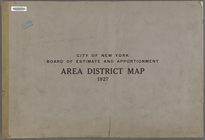
City of New York. Board of Es…
City of New York. Board of Es…
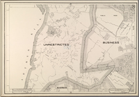
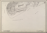
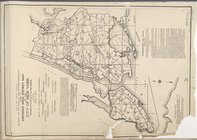
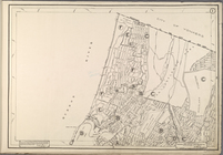
Area District Map Section No.…
Area District Map Section No.…
Area District Map Section No.…
Area District Map Section No.…
Area District Map Section No.…
Area District Map Section No.…
Area District Map Section No.…
Area District Map Section No.…
Area District Map Section No.…
Area District Map Section No.…
Area District Map Section No.…
Area District Map Section No.…
Area District Map Section No.…
Area District Map Section No.…
Area District Map Section No.…
Area District Map Section No.…
Area District Map Section No.…
Area District Map Section No.…
Area District Map Section No.…
Area District Map Section No.…
Area District Map Section No.…
Area District Map Section No.…
Area District Map Section No.…
1
2
3
4
5
6
7
Previous
Next
1
2
3
4
5
6
7
Previous
Next